DC Washington 1857a MAP – Historic Map Reproduction

(Each image is professionally and digitally cleaned of artifacts such as color bars and extra borders prior to printing.)
Description
This antique map of DC Washington 1857a MAP brings a moment of history to your wall. Drawn from the Snapshots of the Past archive, it is an authentic piece of documented history.
Order it framed and ready to hang, or unframed to match a frame you already love. It brings character to any room and makes a memorable gift. Free shipping in the lower 48 states. Snapshots of the Past, founded in 2001, has served tens of thousands of customers worldwide.
DC Washington 1857a MAP
Order a print
Thank you. Your order went through, and a receipt is on its way by email.
Secure checkout · SSL encryptedPowered by Stripe and PayPal
Free shipping in the lower 48 states. The checkout page shows the picture, size and price before you pay.
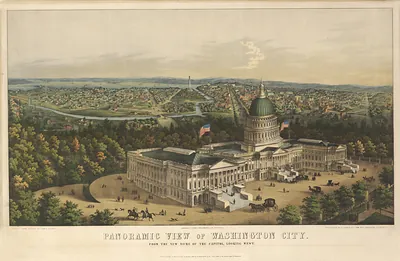
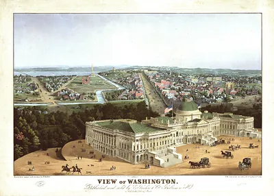
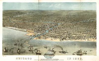
This 1857 bird's-eye view lifts the city into the air so the whole capital reads at once, from the Potomac waterfront to the open ground beyond the developed core. Its date places it in a turning point: the Capitol was being expanded and its cast-iron dome was rising, while the Washington Monument stood unfinished after work had stalled in the mid-1850s. Maps like this were popular with residents and visitors who wanted a picture of a city still growing into the plan laid out for it.
| Original scan | 9,983 × 6,316 px · prints to 33 × 21 in at 300 dpi |
|---|---|
| Reference | DC Washington 1857a |
More from the Bird's Eye View Maps collection
Snapshots of the Past helps heritage brands, museums, historians and storytellers tell stories with history: historic prints, image licensing and historical storytelling drawn from more than 25 years of research and curation.