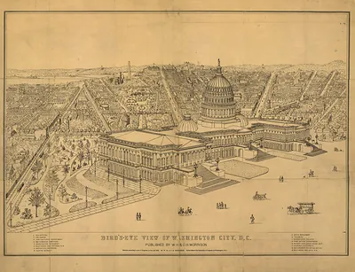
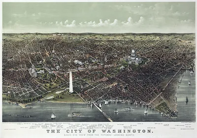
Washington, D.C., 1856 – Historic Map Reproduction

(Originally scanned by the Library of Congress. Each image is professionally and digitally cleaned of artifacts such as color bars and extra borders prior to printing.)
Description
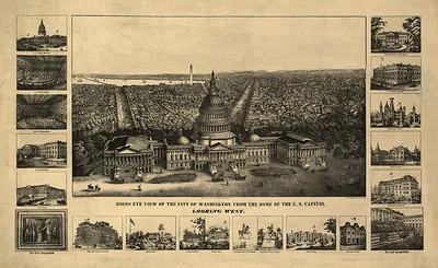
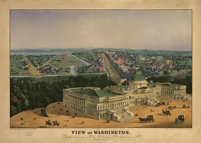
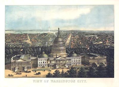
This rare antique map captures Washington, D.C., 1856 in remarkable detail. The original is held by the Library of Congress, so what you hang is a true record of its time.
Library of Congress record: Panoramic view of Washington City from the new dome of the Capitol, looking west
Framed, it is ready for the wall; unframed, it is ready for the frame you choose. A fine choice for anyone who loves history, and a gift that gets noticed. Free shipping in the lower 48 states. Snapshots of the Past, founded in 2001, has served tens of thousands of customers worldwide.
Washington, D.C., 1856
Order a print
Thank you. Your order went through, and a receipt is on its way by email.
Secure checkout · SSL encryptedPowered by Stripe and PayPal
Free shipping in the lower 48 states. The checkout page shows the picture, size and price before you pay.
Washington in 1856 was preparing for a presidential election that autumn, while Congress argued bitterly over slavery in the western territories. In May, Representative Preston Brooks of South Carolina beat Senator Charles Sumner of Massachusetts with a cane on the Senate floor, an attack that stirred fury in newspapers across the North and South. Pennsylvania Avenue, which linked the Capitol to the White House, carried carriages, government clerks and boardinghouse residents between offices and lodgings scattered through the downtown streets. Gas lamps installed by a private company in the years after 1848 lit the main avenues at night, while many side streets remained dark.
| Created / published | 1856 |
|---|---|
| Creator | e. sachse & co |
| Notes | Bird's-eye view map. |
| Subjects | Panoramic maps--Washington DC |
| Source | Library of Congress, Panoramic Maps |
| Original scan | 10,131 × 6,603 px · prints to 34 × 22 in at 300 dpi |
| Library of Congress title | Panoramic view of Washington City from the new dome of the Capitol, looking west |
| Reference | DC-Washington-1856 |
More from the Panoramic Maps collection
Snapshots of the Past helps heritage brands, museums, historians and storytellers tell stories with history: historic prints, image licensing and historical storytelling drawn from more than 25 years of research and curation.