Bird's Eye View Maps
46 historic pictures in the Bird's Eye View Maps collection, in 2 sections, part of Maps. Each one can be ordered as a print or licensed, and the collection is a starting point for telling stories about the past.
Open the interactive boardA bird's eye view map shows a town from a point in the air that nobody could actually reach. The artist made it up. And yet the buildings are usually right, down to the number of windows on the courthouse.
These maps were an American craze from roughly the 1860s through the 1920s. Itinerant artists traveled from town to town, walked every street with a sketchbook, and then worked the whole place up into a single view, tilted as if seen from a hilltop or a balloon a few thousand feet up. Albert Ruger, Thaddeus Mortimer Fowler, Oakley Bailey and Henry Wellge were among the busiest, and between them they drew hundreds of places, many of them towns of a few hundred people.
The business ran on local pride. A view was usually sold by subscription before it was printed, often with the help of the chamber of commerce or the town's leading merchants. Residents bought copies to hang in the parlor. Boosters sent them to investors back East to show that their town was a real place with a future.
That explains what the maps tend to show. Factory chimneys are always smoking. The rail yard is full. There are steamboats on the river and trains on every line. Churches, schools, the opera house and the new hotel are numbered and listed in a key along the bottom margin, along with the businesses that paid to be included. Some views carry small vignettes of important buildings around the border.
The thing worth noticing is the edge of town. Look past the business district and you will often see empty lots laid out in a grid, streets named and drawn in with nothing on them yet. That was the hope. Comparing two views of the same town drawn 20 years apart shows which hopes came true. For anyone researching a family house or a vanished downtown, these maps are often the only picture of the whole place as it stood.
Popular Bird's Eye View Maps
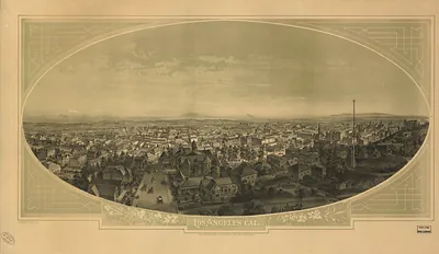 CA Los Angeles 1888 MAP (1888)
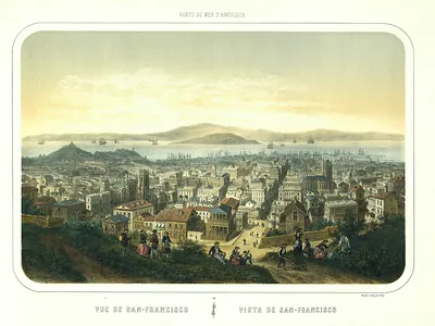 CA San Francisco 1846 MAP (1846)
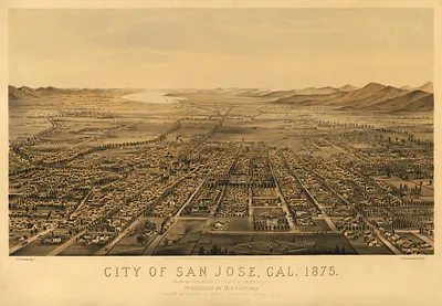 City of San Jose, Cal. 1875 (1875)
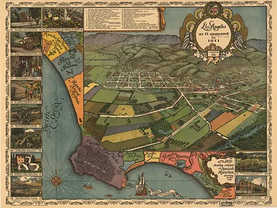 CA Los Angeles 1871 MAP (1871)
 CA San Francisco 1855 ab MAP (1855)
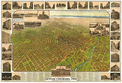 Bird's Eye View of Denver, Colorado, 1908 (1908)
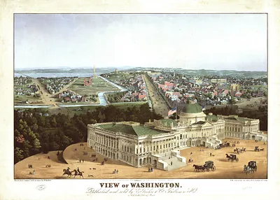 View of Washington (1852)
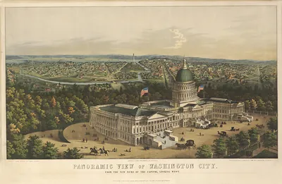 Panoramic View of Washington City, from the New Dome of the Capitol (1856)
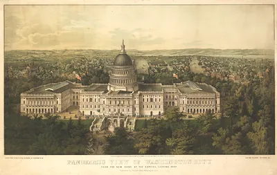 DC Washington 1857a MAP
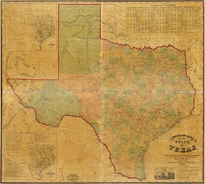 Fixed Light - Presslers map of the state of Texas, Texas
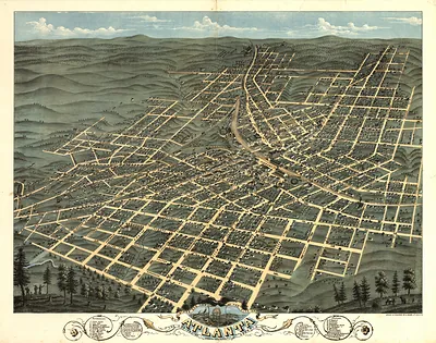 Bird's-eye view map of Atlanta, Georgia (1871)
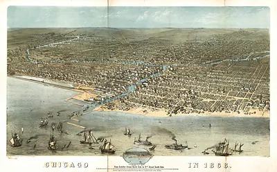 Chicago in 1868, bird's-eye view map (1868)
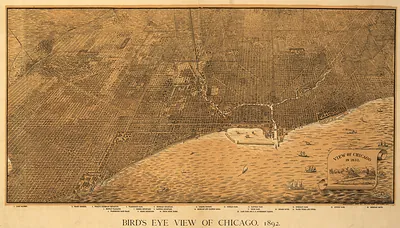 IL Chicago (1892)
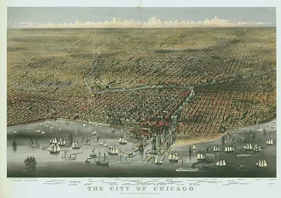 The City of Chicago, bird's eye view map
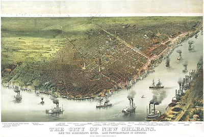 LA New Orleans 1895 MAP (1895)
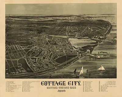 Cottage City, Martha's Vineyard, Mass. 1890 bird's-eye view (1890)
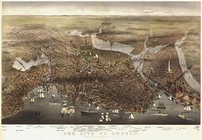 MA Boston 1873 (1873)
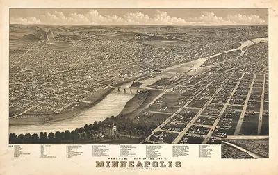 MN Minneapolis 1879 MAP (1879)
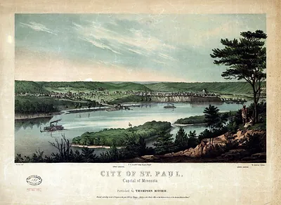 City of St. Paul, Capital of Minnesota (1853)
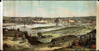 Bird's-eye view of St. Paul, Minnesota, along the river (1874)
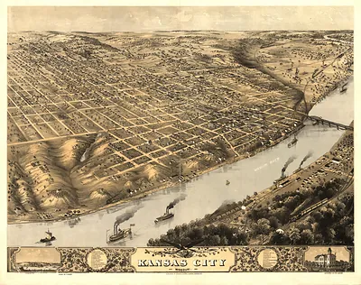 MO Kansas City 1869 MAP (1869)
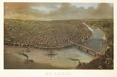 Bird's-eye view of St. Louis with steamboats on the river (1873)
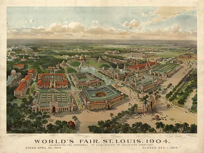 MO St. Louis Worlds Fair 2 1904 MAP (1904)
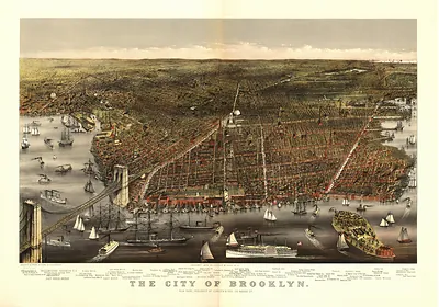 The City of Brooklyn, bird's-eye view map (1879)
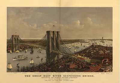 Grand Bird's Eye View of the Great East River Suspension Bridge (1895)
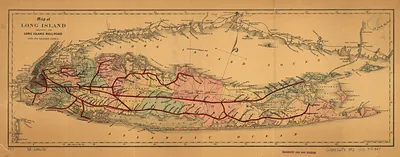 Map of Long Island and the Long Island Railroad and its leased lines (1882)
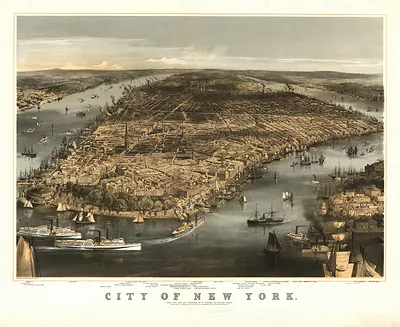 City of New York, bird's-eye view lithograph (1856)
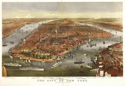 The City of New York (1870)
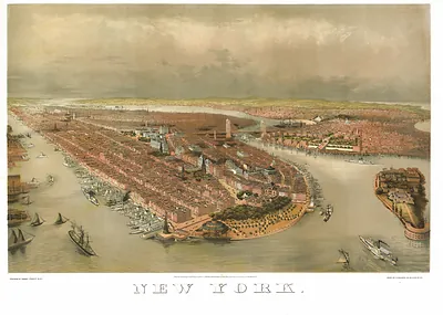 New York, bird's-eye view lithograph (1874)
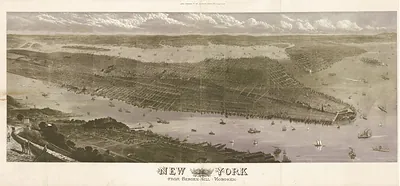 New York from Bergen Hill, Hoboken (1876)
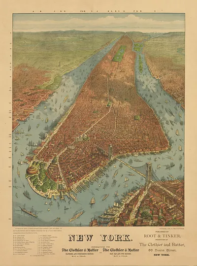 New York bird's-eye view map, 1879, Root & Tinker (1879)
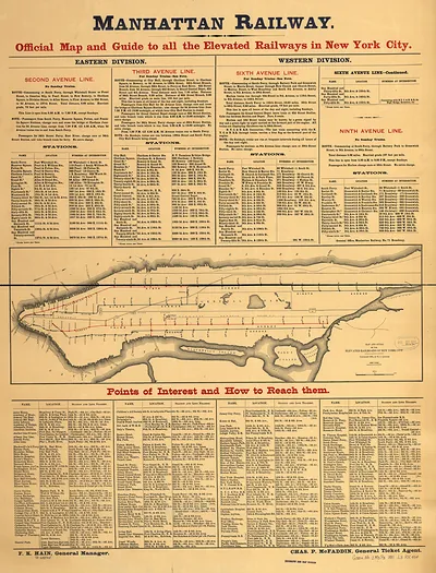 Manhattan Railway: Official Map and Guide to all the Elevated Railways in New York City (1891)
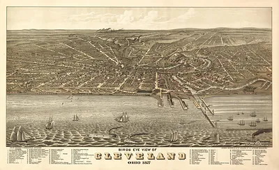 OH Cleveland 1877 MAP (1877)
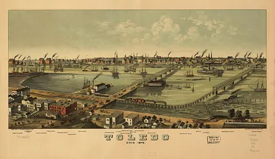 Toledo, Ohio 1876 bird's-eye view lithograph (1876)
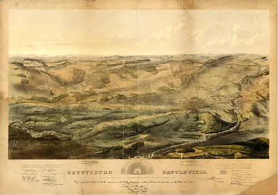 Gettysburg Battle-Field bird's-eye view map (1863)
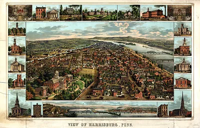 View of Harrisburg, Penn. (1855)
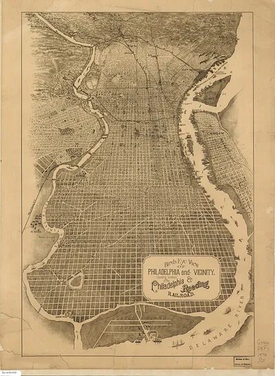 Birds Eye View of Philadelphia and Vicinity, showing Philadelphia & Reading Railroad (1870)
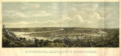 PA Pittsburgh (1871)
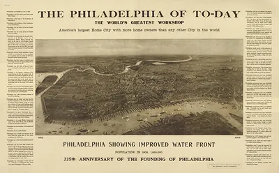 The Philadelphia of To-day: The World's Greatest Workshop
Popular Bird's Eye View Maps · Preview
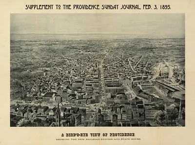 RI Providence 1895 MAP (1895)
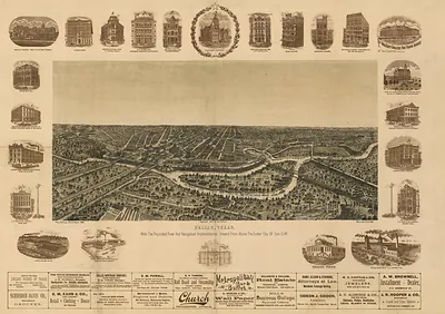 Dallas, Texas, with the projected river and navigation improvements (1892)
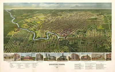 Houston, Texas, 1891 Bird's Eye View Map (1891)
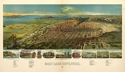 UT Salt Lake City 1891 MAP (1891)
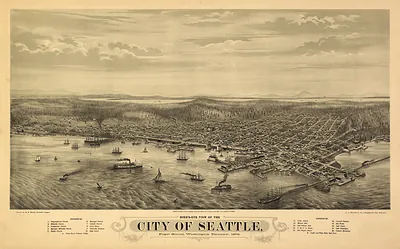 Bird's-Eye View of the City of Seattle, 1878 (1878)
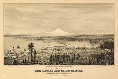 View of New Tacoma and Mount Rainier, Puget Sound, Washington Territory (1878)
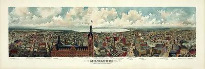 WI Milwaukee 1898 MAP (1898)