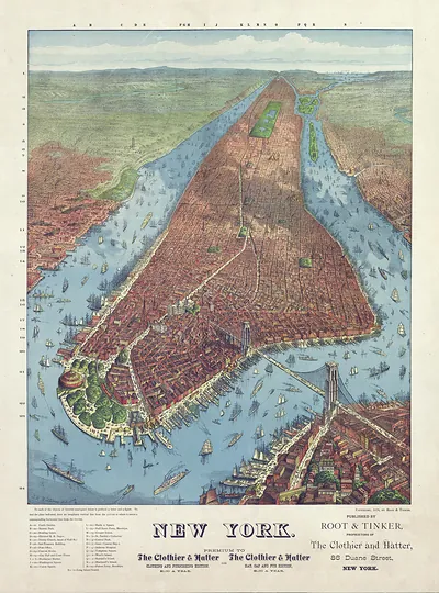
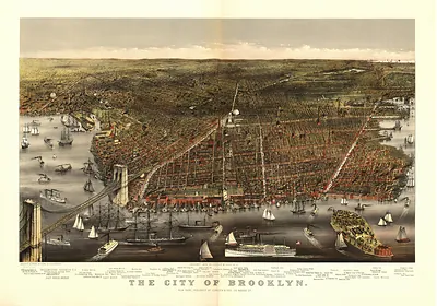
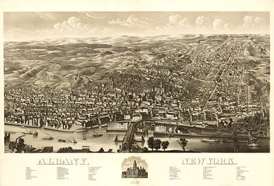
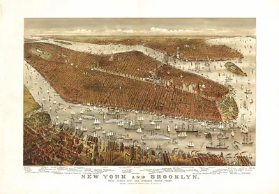
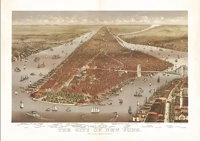
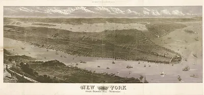
New York, New York, 1879 – Antique Wall Map

(Each image is professionally and digitally cleaned of artifacts such as color bars and extra borders prior to printing.)
Description
New York, New York, 1879 comes to life in this antique map, reproduced from the original with every detail intact. It is part of the Snapshots of the Past archive, gathered over 25 years of research.
Framed, it is ready for the wall; unframed, it is ready for the frame you choose. A fine choice for anyone who loves history, and a gift that gets noticed. Free shipping in the lower 48 states. Snapshots of the Past has been bringing history to the wall since 2001, for tens of thousands of customers worldwide.
New York, New York, 1879
Order a print
Thank you. Your order went through, and a receipt is on its way by email.
Secure checkout · SSL encryptedPowered by Stripe and PayPal
Free shipping in the lower 48 states. The checkout page shows the picture, size and price before you pay.
New York in 1879 was a port of more than a million people, and the national money question was settled that January, when the United States resumed specie payments and greenbacks could again be redeemed in gold. Wall Street and the Gold Room on Broad Street kept close watch on the price of gold, and merchants on the piers and in the counting houses had reason to care. Breweries in Yorkville and along the east side, sugar refineries on the waterfront, and the garment trade in the downtown tenements gave the city much of its work. In September, the city gave former President Ulysses S. Grant a large public welcome on his return from a long journey abroad, a display that showed how much New Yorkers still prized national celebrity. Residents knew the city by its crowded wards and its noise, and by the sound of elevated trains overhead.
| Created / published | 1879 |
|---|---|
| Notes | Bird's-eye view map. |
| Subjects | Panoramic maps--New York |
| Original scan | 5,776 × 7,792 px · prints to 19 × 26 in at 300 dpi |
| Reference | NY New York 1879 |
More from the Panoramic Maps collection
Snapshots of the Past helps heritage brands, museums, historians and storytellers tell stories with history: historic prints, image licensing and historical storytelling drawn from more than 25 years of research and curation.