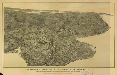
Brooklyn, New York, 1879 – Vintage Map Wall Art

(Each image is professionally and digitally cleaned of artifacts such as color bars and extra borders prior to printing.)
Description
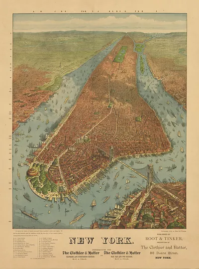
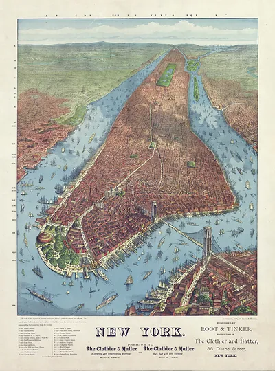
A window into the past: Brooklyn, New York, 1879, preserved in this antique map. Drawn from the Snapshots of the Past archive, it is an authentic piece of documented history.
Order it framed and ready to hang, or unframed to match a frame you already love. A conversation-starting piece for home, office, or as a meaningful gift. Free shipping in the lower 48 states. Snapshots of the Past has been bringing history to the wall since 2001, for tens of thousands of customers worldwide.
Brooklyn, New York, 1879
Order a print
Thank you. Your order went through, and a receipt is on its way by email.
Secure checkout · SSL encryptedPowered by Stripe and PayPal
Free shipping in the lower 48 states. The checkout page shows the picture, size and price before you pay.
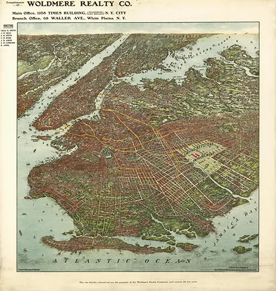
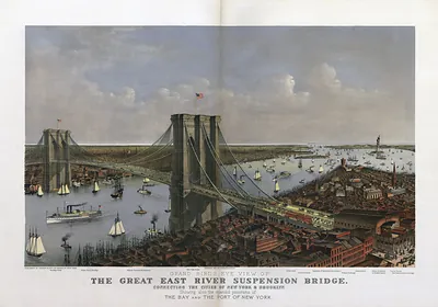
Brooklyn in 1879 was still a separate city across the East River from Manhattan, and it was one of the largest cities in the country, with a population approaching half a million. Its economy rested on the waterfront, where sugar refineries, breweries, and shipyards ran alongside the Brooklyn Navy Yard on the Wallabout. Ferries carried workers and goods across to Manhattan every day, and the great suspension bridge being built between the two shores was still years from completion, so residents of the city were watching its towers rise above the river. Brooklyn's parks, including Prospect Park laid out by Frederick Law Olmsted and Calvert Vaux, gave the growing city a green counterweight to its crowded neighborhoods. Brooklyn would not lose its separate identity until it was merged into the City of New York in 1898.
| Created / published | 1879 |
|---|---|
| Notes | Bird's-eye view map. |
| Subjects | Panoramic maps--New York |
| Original scan | 11,136 × 7,792 px · prints to 37 × 26 in at 300 dpi |
| Reference | NY Brooklyn 1879 |
More from the Panoramic Maps collection
Snapshots of the Past helps heritage brands, museums, historians and storytellers tell stories with history: historic prints, image licensing and historical storytelling drawn from more than 25 years of research and curation.