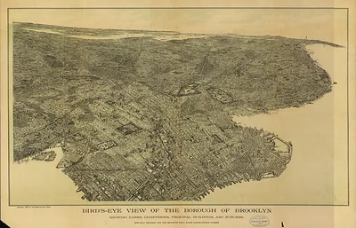
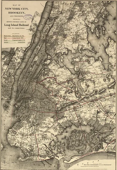
Brooklyn, New York, 1908 – Antique Wall Map

(Originally scanned by the Library of Congress. Each image is professionally and digitally cleaned of artifacts such as color bars and extra borders prior to printing.)
Description
This rare antique map captures Brooklyn, New York, 1908 in remarkable detail. It comes from the collections of the Library of Congress, scanned from the original and carefully restored.
Library of Congress record: [Bird's-eye-view of Brooklyn]
The framed print arrives ready to hang; the unframed option suits custom framing. A conversation-starting piece for home, office, or as a meaningful gift. Free shipping in the lower 48 states. Snapshots of the Past, founded in 2001, has served tens of thousands of customers worldwide.
Brooklyn, New York, 1908
Order a print
Thank you. Your order went through, and a receipt is on its way by email.
Secure checkout · SSL encryptedPowered by Stripe and PayPal
Free shipping in the lower 48 states. The checkout page shows the picture, size and price before you pay.
Brooklyn in 1908 had been part of the City of New York for ten years, and its separate identity survived mainly in local pride and in the borough's newspapers, including the Brooklyn Eagle. The Navy Yard on the Wallabout still employed a large force of machinists and shipwrights, and the neighborhoods of Flatbush, Bay Ridge, and Williamsburg kept their own shopping streets and churches. That summer the Interborough subway pushed under the East River through the Joralemon Street tunnel, tying the borough more closely to Manhattan's offices and stores. Baseball drew crowds to Washington Park near Gowanus, where the Superbas played through a close pennant race that kept the borough talking.
| Created / published | 1908 |
|---|---|
| Creator | august r. ohman & co |
| Notes | Bird's-eye view map. |
| Subjects | Panoramic maps--New York |
| Source | Library of Congress, Panoramic Maps |
| Original scan | 6,606 × 6,968 px · prints to 22 × 23 in at 300 dpi |
| Library of Congress title | [Bird's-eye-view of Brooklyn] |
| Reference | NY Brooklyn 1908 |
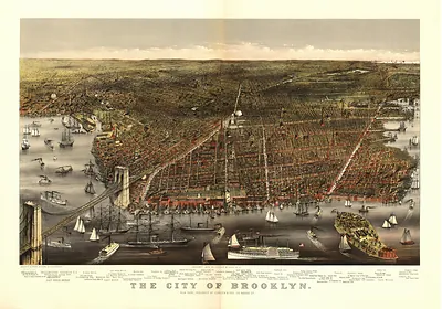
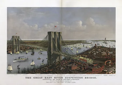
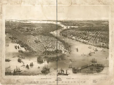
More from the Panoramic Maps collection
Snapshots of the Past helps heritage brands, museums, historians and storytellers tell stories with history: historic prints, image licensing and historical storytelling drawn from more than 25 years of research and curation.