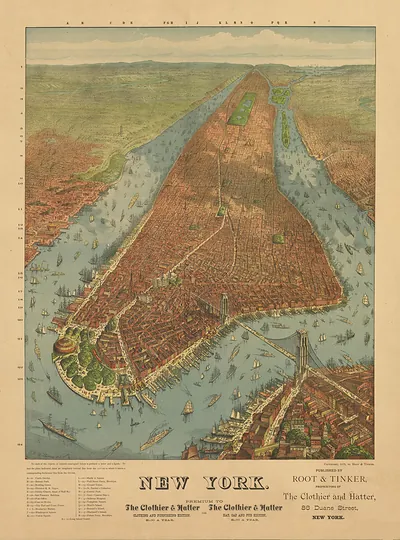
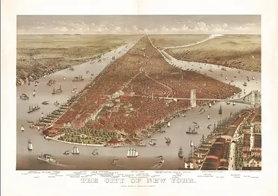
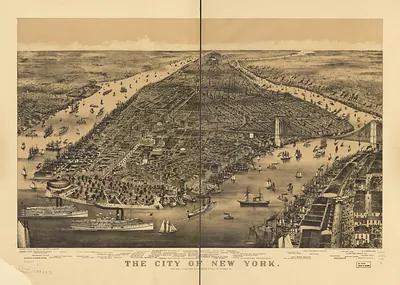
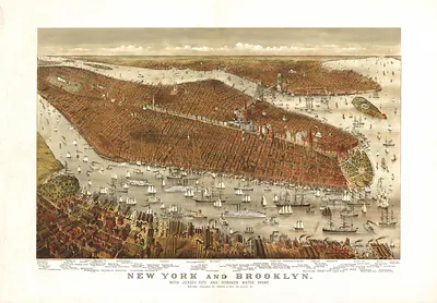
New York, New York, 1879 – Historic Map Reproduction

(Each image is professionally and digitally cleaned of artifacts such as color bars and extra borders prior to printing.)
Description
A window into the past: New York, New York, 1879, preserved in this antique map. Drawn from the Snapshots of the Past archive, it is an authentic piece of documented history.
Framed, it is ready for the wall; unframed, it is ready for the frame you choose. It brings character to any room and makes a memorable gift. Free shipping in the lower 48 states. Snapshots of the Past, founded in 2001, has served tens of thousands of customers worldwide.
New York, New York, 1879
Order a print
Thank you. Your order went through, and a receipt is on its way by email.
Secure checkout · SSL encryptedPowered by Stripe and PayPal
Free shipping in the lower 48 states. The checkout page shows the picture, size and price before you pay.
New York in 1879 was a port of more than a million people, and this bird's-eye view shows the island's street grid already reaching well above Central Park. Across the East River, the granite towers of the Brooklyn Bridge were rising under Washington Roebling, who had taken over the project after his father, John A. Roebling, died in 1869 from an accident during the survey work. Lower Manhattan's merchants, ship chandlers and ferry operators followed the progress closely, since a fixed crossing would tie Brooklyn's workers and goods more firmly to the city's markets. Brownstone and cast-iron commercial blocks crowded the avenues below Fourteenth Street, and the Croton water system, opened in 1842, supplied the growing population. Many residents measured the city's progress less by the grid on the page than by the scaffolding going up over the river.
| Created / published | 1879 |
|---|---|
| Notes | Bird's-eye view map. |
| Subjects | Panoramic maps--New York |
| Original scan | 5,776 × 7,792 px · prints to 19 × 26 in at 300 dpi |
| Reference | NY New York 1879a |
More from the Panoramic Maps collection
Snapshots of the Past helps heritage brands, museums, historians and storytellers tell stories with history: historic prints, image licensing and historical storytelling drawn from more than 25 years of research and curation.