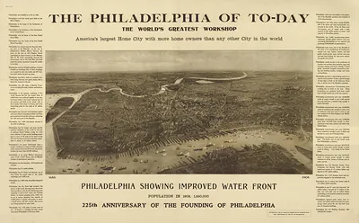
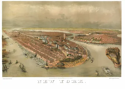
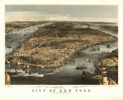
Birds Eye View of Philadelphia and Vicinity, showing Philadelphia & Reading Railroad – Antique Wall Map

(Each image is professionally and digitally cleaned of artifacts such as color bars and extra borders prior to printing.)
Description
A window into the past: Birds Eye View of Philadelphia and Vicinity, showing Philadelphia & Reading Railroad, preserved in this antique map. Drawn from the Snapshots of the Past archive, it is an authentic piece of documented history.
The framed print arrives ready to hang; the unframed option suits custom framing. A conversation-starting piece for home, office, or as a meaningful gift. Free shipping in the lower 48 states. Snapshots of the Past has been bringing history to the wall since 2001, for tens of thousands of customers worldwide.
Birds Eye View of Philadelphia and Vicinity, showing Philadelphia & Reading Railroad
Order a print
Thank you. Your order went through, and a receipt is on its way by email.
Secure checkout · SSL encryptedPowered by Stripe and PayPal
Free shipping in the lower 48 states. The checkout page shows the picture, size and price before you pay.
This view gives the Philadelphia & Reading Railroad a prominent place among the city's streets and waterways, tracing the line that carried anthracite coal from the Schuylkill valley to Philadelphia's wharves and factories. The railroad was chartered in 1833 and grew into one of the region's most important carriers, so a map that highlights it reflects how central rail had become to the city's growth. In 1870 Philadelphia ranked as the second-largest city in the country, and bird's-eye views like this one, drawn from an elevated vantage point, let viewers take in its streets, rivers and rail lines at a glance.
| Created / published | 1870 |
|---|---|
| Original scan | 5,152 × 7,040 px · prints to 17 × 23 in at 300 dpi |
| Reference | PA Philadelphia 1870 |
More from the Bird's Eye View Maps collection
Snapshots of the Past helps heritage brands, museums, historians and storytellers tell stories with history: historic prints, image licensing and historical storytelling drawn from more than 25 years of research and curation.