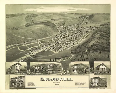
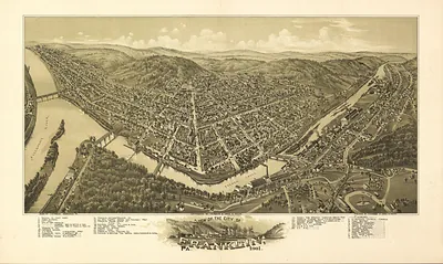
Gettysburg, Pennsylvania, 1863 – Historic Map Reproduction

(Each image is professionally and digitally cleaned of artifacts such as color bars and extra borders prior to printing.)
Description
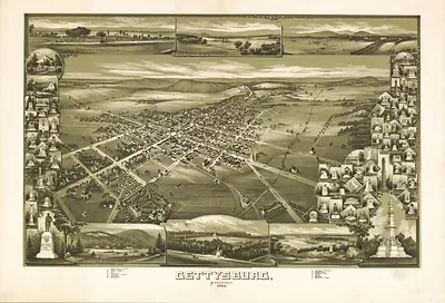
Step back in time with Gettysburg, Pennsylvania, 1863, an antique map rich in period detail. It comes from the Snapshots of the Past collection, curated over 25 years for its historical value.
The framed print arrives ready to hang; the unframed option suits custom framing. A fine choice for anyone who loves history, and a gift that gets noticed. Free shipping in the lower 48 states. Snapshots of the Past, founded in 2001, has served tens of thousands of customers worldwide.
Gettysburg, Pennsylvania, 1863
Order a print
Thank you. Your order went through, and a receipt is on its way by email.
Secure checkout · SSL encryptedPowered by Stripe and PayPal
Free shipping in the lower 48 states. The checkout page shows the picture, size and price before you pay.
Gettysburg in 1863 was a county seat of about 2,400 people, a farm town whose grain mills, tanneries, and market square served the surrounding countryside. A rail spur from Hanover Junction had reached it only a few years earlier, and Pennsylvania College and the Lutheran Theological Seminary gave the town a scholarly reputation. In the first days of July, Union and Confederate armies collided on the roads and ridges nearby, and the fighting filled its streets and houses with wounded men. Within months the dead were buried in a new national cemetery, and that November Abraham Lincoln came to dedicate it with a short address that made the town known far beyond Pennsylvania.
| Created / published | 1863 |
|---|---|
| Notes | Bird's-eye view map. |
| Subjects | Panoramic maps--Pennsylvania |
| Original scan | 5,772 × 4,058 px · prints to 19 × 14 in at 300 dpi |
| Reference | PA-Gettysburg 1863 |
More from the Panoramic Maps collection
Snapshots of the Past helps heritage brands, museums, historians and storytellers tell stories with history: historic prints, image licensing and historical storytelling drawn from more than 25 years of research and curation.