Minneapolis 1879 (listed as 1873), Minnesota – Historic Map Reproduction

(Originally scanned by the Library of Congress. Each image is professionally and digitally cleaned of artifacts such as color bars and extra borders prior to printing.)
Description
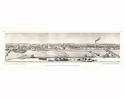
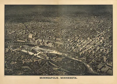
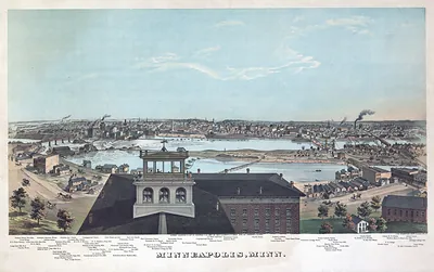
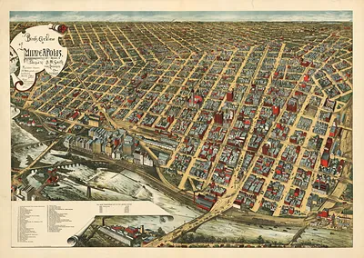
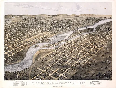
Step back in time with Minneapolis 1879 (listed as 1873), Minnesota, an antique map rich in period detail. An authentic image from the Library of Congress, it carries the weight of the real historical record.
Library of Congress record: Panoramic view of the city of Minneapolis, Minnesota, 1879
Order it framed and ready to hang, or unframed to match a frame you already love. It makes a striking addition to a living room, study or office, and a thoughtful gift. Free shipping in the lower 48 states. Since 2001, Snapshots of the Past has shipped historic prints to tens of thousands of customers around the world.
Minneapolis 1879 (listed as 1873), Minnesota
Order a print
Thank you. Your order went through, and a receipt is on its way by email.
Secure checkout · SSL encryptedPowered by Stripe and PayPal
Free shipping in the lower 48 states. The checkout page shows the picture, size and price before you pay.
Minneapolis in 1879 was a booming flour-milling city on the Mississippi, where water power from St. Anthony Falls drove a cluster of mills that made the town the leading flour producer in the country. The Washburn "A" Mill, completed in 1880 but under construction then, reflected the scale of the industry, and the city's lumber mills on the riverfront processed pine floated down from northern Minnesota. Railroads radiated from the city, tying its grain and timber to eastern markets, and the population had climbed rapidly through the 1870s. Minneapolis and neighboring St. Paul were rivals for trade and state influence, and residents of the twin cities took pride in the rising skyline of mills, churches, and commercial blocks along the river.
| Created / published | 1879 |
|---|---|
| Creator | ruger, a., beck & pauli, stoner, j. j. |
| Notes | Bird's-eye view map. |
| Subjects | Panoramic maps--Minnesota |
| Source | Library of Congress, Panoramic Maps |
| Original scan | 10,352 × 6,512 px · prints to 35 × 22 in at 300 dpi |
| Library of Congress title | Panoramic view of the city of Minneapolis, Minnesota, 1879 |
| Reference | MN-Minneapolis-1879 (listed as 1873) |
More from the Panoramic Maps collection
Snapshots of the Past helps heritage brands, museums, historians and storytellers tell stories with history: historic prints, image licensing and historical storytelling drawn from more than 25 years of research and curation.