Blue Ridge Parkway
92 historic pictures in the Blue Ridge Parkway collection, in 4 sections, part of Landmarks. Each one can be ordered as a print or licensed, and the collection is a starting point for telling stories about the past.
Open the interactive boardThe Blue Ridge Parkway was built to be driven slowly. It runs 469 miles along the crest of the Appalachians, from Shenandoah National Park in Virginia to Great Smoky Mountains National Park in North Carolina, and it was designed so that the view, not the destination, was the point of the trip.
Construction began in 1935, in the middle of the Depression. It was a public works project as much as a road, and it put thousands of people to work. Crews from the Civilian Conservation Corps built trails, planted slopes and cleared overlooks. The work went on in pieces for more than 50 years. The last section, the Linn Cove Viaduct curving around the side of Grandfather Mountain, was finished in 1987.
The parkway's designers were landscape architects, and they treated the whole thing like a long, narrow park. There are no billboards and no trucks hauling freight. Curves follow the shape of the land. Overlooks were placed where the view opens. Along the way they kept and restored pieces of mountain life, such as old farms, split-rail fences and Mabry Mill in Virginia, so visitors would see how people lived on that land before the road came.
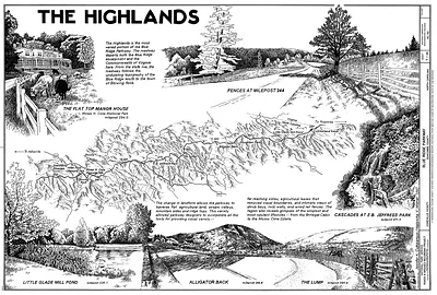
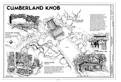
This board leans toward artwork and illustrated material more than old photographs. Bird's-eye views show long stretches of ridge, valley and road at a glance, the way a map can't. Drawings pick out single scenes, such as a mill, a bridge, a cabin, a bend in the road. Cards and bookmarks carry the same scenes in a smaller size.
When you look at the bird's-eye views, follow the road itself. It rarely goes straight for long, and it almost never cuts across the grain of the mountains. It rides the ridgeline, dropping into gaps and climbing back out. That was a deliberate choice. Another thing to notice is how much forest there is. Much of these mountains had been logged hard before the parkway, and the trees you see in later views are, in many places, second growth.
Blue Ridge Parkway
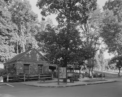 345702pu
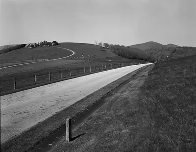 Blue Ridge Parkway curving road past farm and pasture
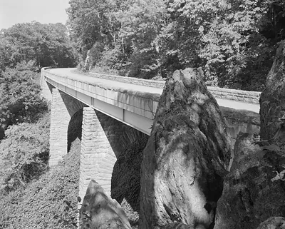 Stone-faced bridge over rock outcrops, wooded gorge, black and white photograph
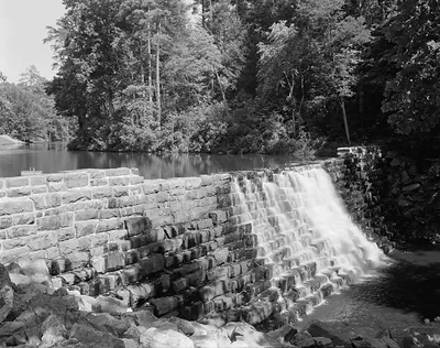 Stone dam with waterfall spillway in wooded setting
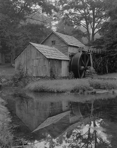 Old wooden mill with waterwheel above a reflecting pond
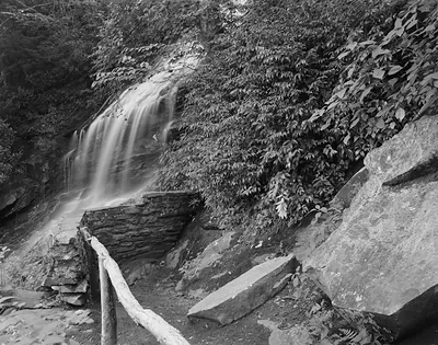 Waterfall over stone ledge beside log railing
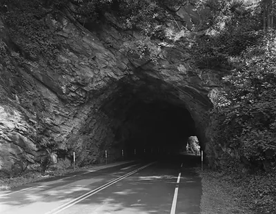 Two-lane road through a rock tunnel, black and white photograph
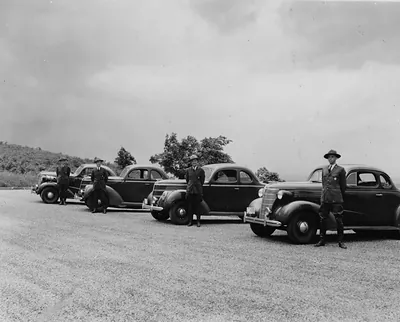 Four uniformed men beside parked 1930s sedans on a gravel overlook
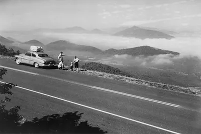 Travelers beside a parked car at a misty mountain overlook
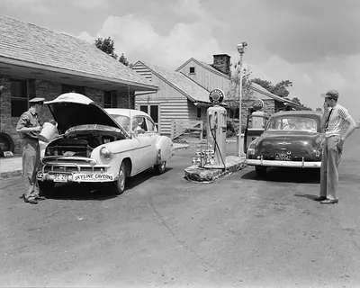 Attendant pouring oil into a white car at a roadside gas station
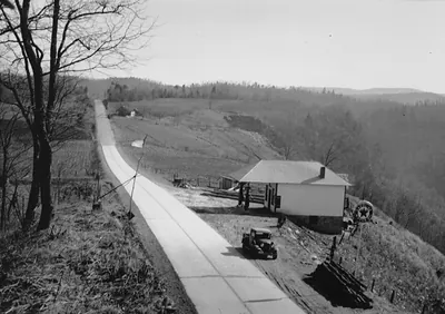 Concrete mountain road with roadside station and parked car
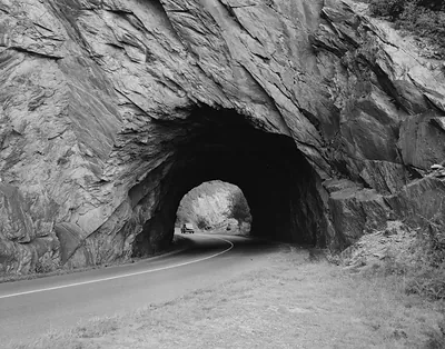 Rock tunnel through cliff on a curving road
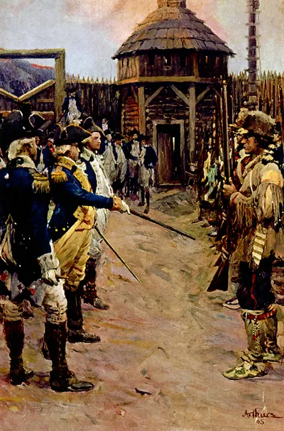 Drilling new recruits / Arthurs. (c1910.)
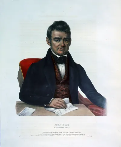 John Ross, a Cherokee chief / drawn, printed & coloured at the Lithographic & Print Colour (Philada. : published)
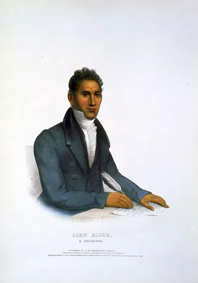 John Ridge, a Cherokee / drawn, printed & coloured at I.T. Bowen's Lithographic Establishm (Philada. : published)
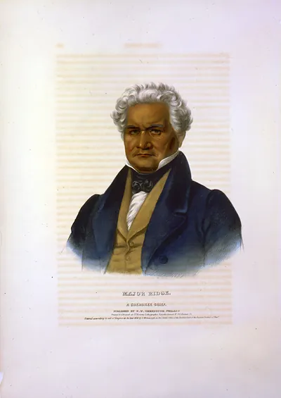 Major Ridge, a Cherokee chief / printed & coloured at I.T. Bowen's Lithographic Establishm (Philada. : published)
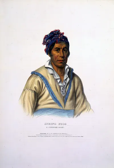 Spring Frog, a Cherokee chief / drawn, printed & coloured at I.T. Bowens Lithographic Esta (Philada. : published)
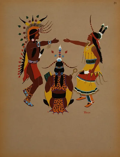 Wedding ceremony / Mopope. ([1929])
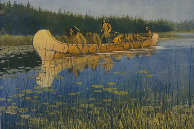 The great explorers / Frederic Remington. ([between 1890 and 19)
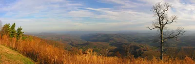 Panoramic view of Blue Ridge valleys with bare tree
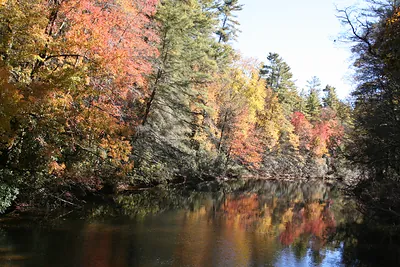 Autumn foliage reflected on a calm river
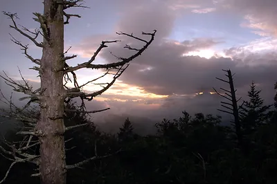 Dead tree silhouetted against sunset clouds over mountain ridge
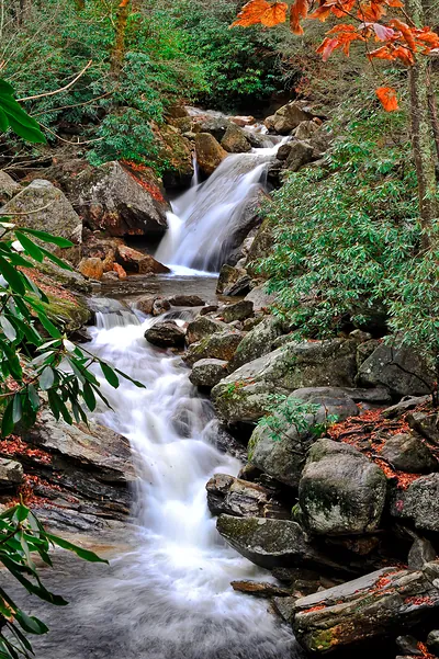 Waterfall cascading over mossy rocks with autumn leaves
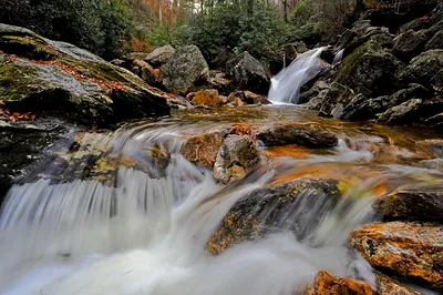 Waterfall cascading over rocks in a forest stream
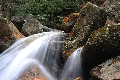 Long-exposure waterfall over mossy boulders
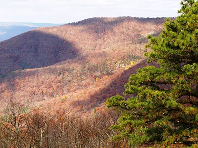 Autumn forested mountain ridge with a pine tree
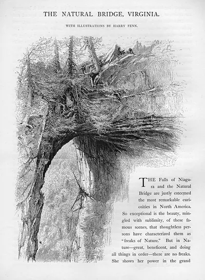 The Natural Bridge, Virginia, with illustrations by Harry Fenn
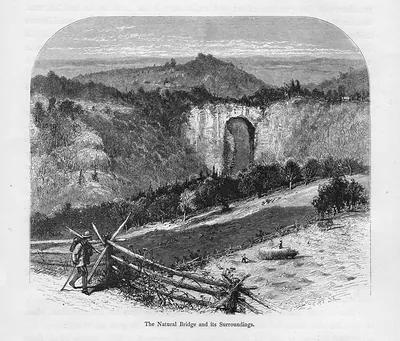 The Natural Bridge and its Surroundings
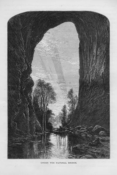 Under the Natural Bridge
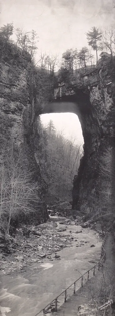 VA Natural Bridge 1909 PHOTO (1909)
Bird's Eye Views
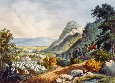 The valley of the Shenandoah (New York : Published)
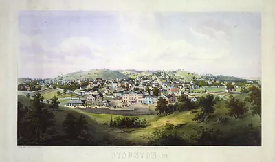 Staunton, Va. / drawn from nature by Ed. Beyer ; W. Rau. (c1857.)
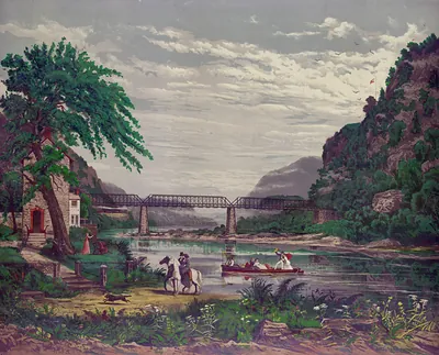 Morning on the Shenandoah ([no date recorded on)
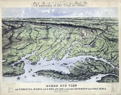 Bird's Eye View of Virginia, Maryland, Delaware, DC
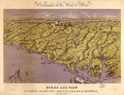 Birds Eye View of North and South Carolina and Part of Georgia
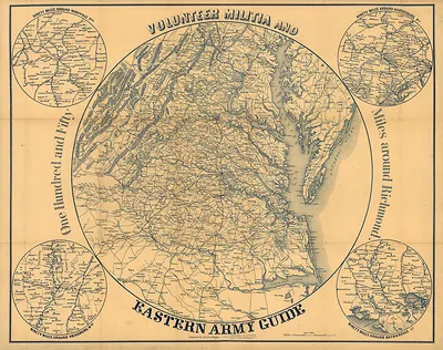 Volunteer Militia and Eastern Army Guide, map with circular insets
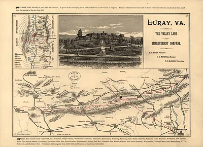 Map of the Valley of Virginia with Luray Inn view
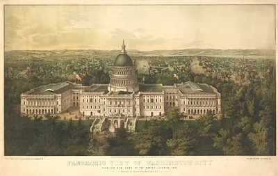
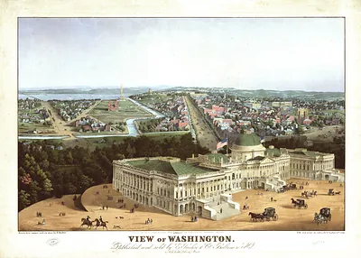 DC Washington 1852 MAP
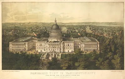 DC Washington 1857a MAP
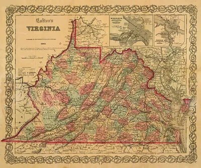 Colton's Virginia map, 1862
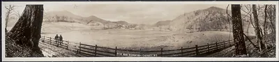 NC 1909 Indian reservation, Cherokee PHOTO (1909)
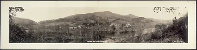 NC 1909 Indian School 1 Cherokee PHOTO (1909)
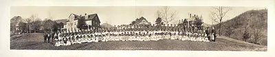 NC 1909 Indian School Cherokee PHOTO (1909)
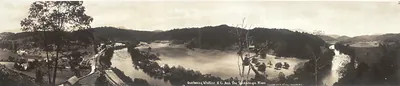 NC 1913 Whittier and Tuckasegee River PHOTO (1913)
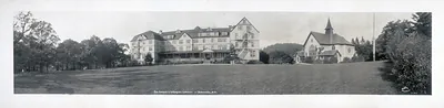 NC 1914 Normal-Collegiate Institute, Asheville PHOTO (1914)
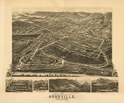 NC Asheville 1891 MAP (1891)
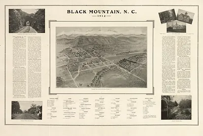 NC Black Mountain 1912 MAP (1912)
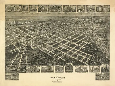 NC Rocky Mount 1907 MAP (1907)
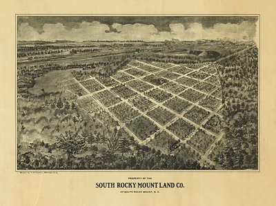 NC South Rocky Mount 1900 MAP (1900)
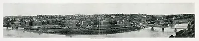 VA 1908 Bird's eye view of Lynchburg PHOTO (1908)
 VA Panoramic view of Lynchburg 1915 PHOTO (1915)
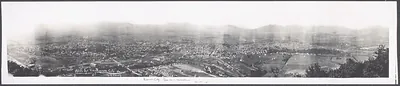 VA Roanoke City 1915 PHOTO (1915)
 VA Roanoke from Mill Mountain 1931 PHOTO (1931)
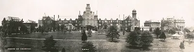 Panoramic photograph of R.M.W.C. campus buildings and lawns, Lynchburg
 VA Y.M.C.A. Island Lynchburg 1920 PHOTO (1920)
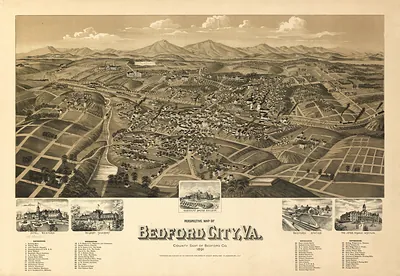 VA Bedford City 1891 MAP (1891)
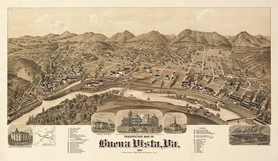 VA Buena Vista 1891 MAP (1891)
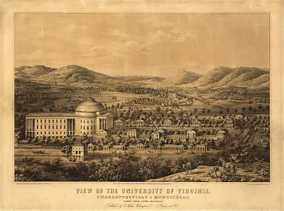 VA Charlottesville 1856 MAP (1856)
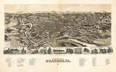 VA Roanoke 1891 MAP (1891)
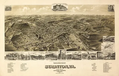 Perspective Map of the City of Staunton, Va., 1891
Drawings
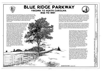 Blue Ridge Parkway, Virginia to North Carolina, 1935 to 1987
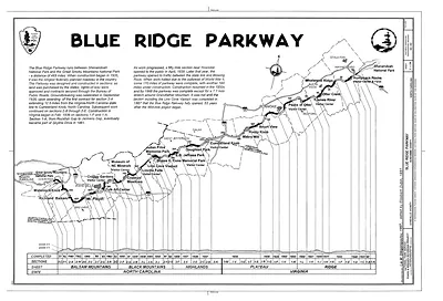 Blue Ridge Parkway route map and profile drawing
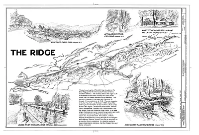 The Ridge: Blue Ridge Parkway map with sketched vignettes
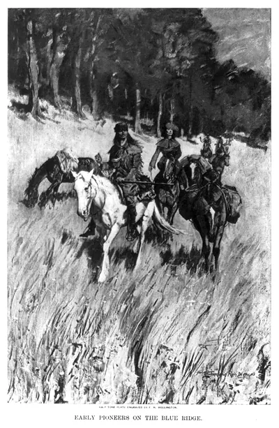 Early Pioneers on the Blue Ridge (1photomechanical pri)
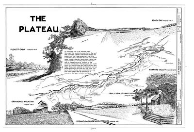 The Plateau: Blue Ridge Parkway pen-and-ink illustrated map
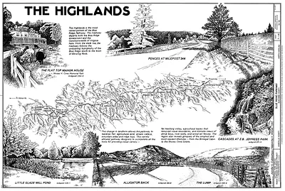 The Highlands: Blue Ridge Parkway illustrated map with vignettes
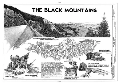 The Black Mountains: Blue Ridge Parkway drawing with map and vignettes
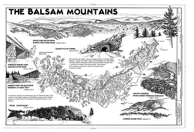 The Balsam Mountains
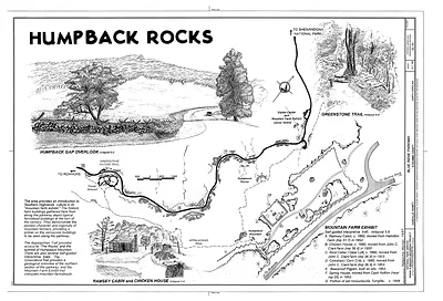 Humpback Rocks, Blue Ridge Parkway, drawn visitor map
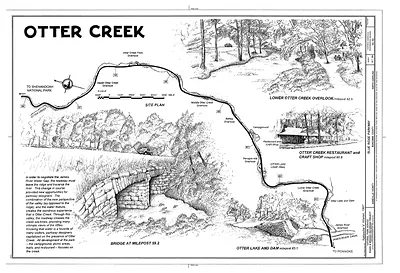 Otter Creek site plan, Blue Ridge Parkway
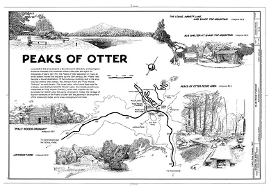 Peaks of Otter map and sketches, Blue Ridge Parkway
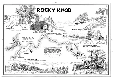 Rocky Knob, Blue Ridge Parkway site plan drawing
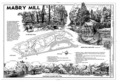 Mabry Mill site plan and pond drawing sheet
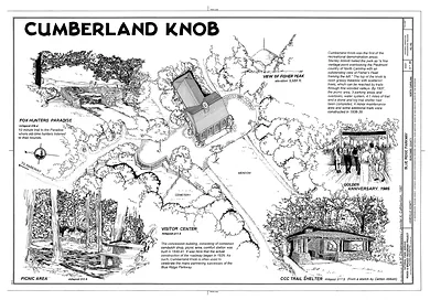 Cumberland Knob: pen-and-ink site plan of Blue Ridge Parkway area
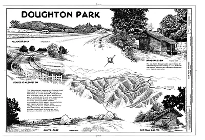 Doughton Park, Blue Ridge Parkway, pen-and-ink map drawing
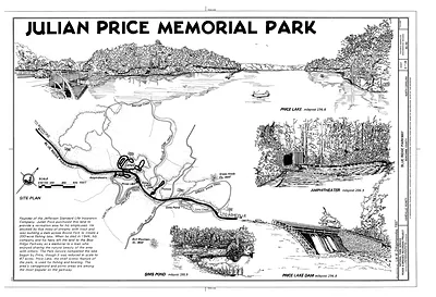 Julian Price Memorial Park
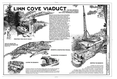 Linn Cove Viaduct, the first segmental structure in North America
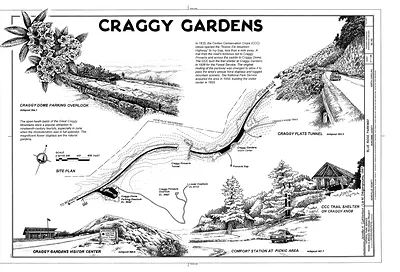 Craggy Gardens: Blue Ridge Parkway site drawings
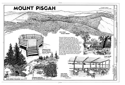 Mount Pisgah: Blue Ridge Parkway pictorial drawing sheet
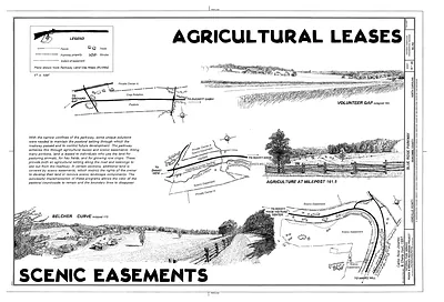 Agricultural Leases and Scenic Easements, Blue Ridge Parkway drawing sheet
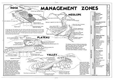 Management Zones diagram, Blue Ridge Parkway
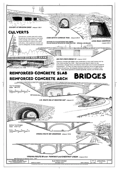 Culverts and Reinforced Concrete Bridges, Blue Ridge Parkway
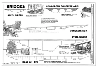 Bridges: steel girder, reinforced concrete arch and concrete box types
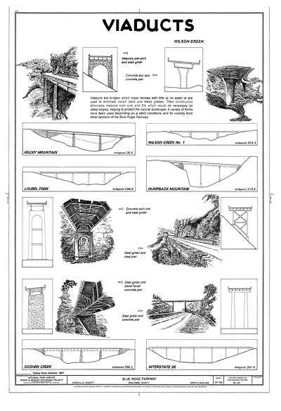 Viaducts: Blue Ridge Parkway bridge types drawing sheet
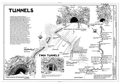 Tunnels: Blue Ridge Parkway drawing sheet with plans and portals
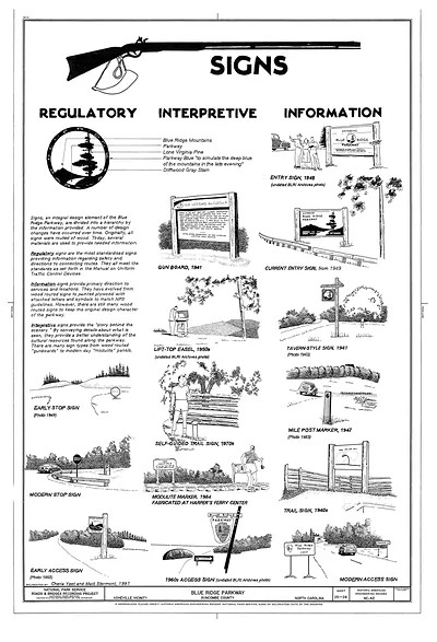 Signs of the Blue Ridge Parkway, regulatory, interpretive, information
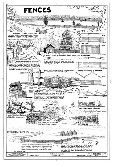 Fences, Blue Ridge Parkway fence types drawing
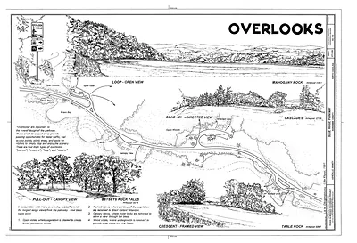 Overlooks on the Blue Ridge Parkway, technical drawing sheet
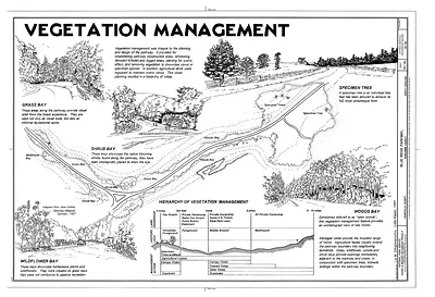 Vegetation Management