Birds Eye View of North and South Carolina and Part of Georgia – Antique Map Print

(Each image is professionally and digitally cleaned of artifacts such as color bars and extra borders prior to printing.)
Description
Few images capture their era like this historic image of Birds Eye View of North and South Carolina and Part of Georgia. It comes from the Snapshots of the Past collection, curated over 25 years for its historical value.
Framed, it is ready for the wall; unframed, it is ready for the frame you choose. Perfect for a home, office, library or classroom wall, and a gift with a story behind it. Free shipping in the lower 48 states. Snapshots of the Past, founded in 2001, has served tens of thousands of customers worldwide.
Birds Eye View of North and South Carolina and Part of Georgia
Order a print
Thank you. Your order went through, and a receipt is on its way by email.
Secure checkout · SSL encryptedPowered by Stripe and PayPal
Free shipping in the lower 48 states. The checkout page shows the picture, size and price before you pay.
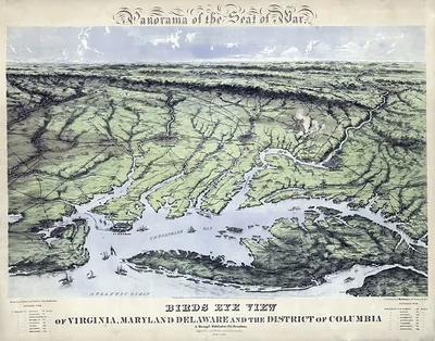
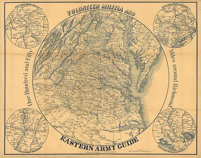
Rather than a flat survey, this picture shows North and South Carolina and part of Georgia as if seen from a high vantage point, with mountains, rivers, and towns spread across the page. Pictorial bird's-eye views like this were popular in the late 19th and early 20th centuries, when artists drew landscapes in oblique perspective so viewers could recognize places at a glance. The southern Appalachian country it covers is the same landscape the Blue Ridge Parkway would later follow, which makes the map useful for seeing how the region was imagined before modern roads reshaped it.
| Original scan | 8,941 × 6,867 px · prints to 30 × 23 in at 300 dpi |
|---|---|
| Reference | cw0304600 |
More from the Blue Ridge Parkway collection
Snapshots of the Past helps heritage brands, museums, historians and storytellers tell stories with history: historic prints, image licensing and historical storytelling drawn from more than 25 years of research and curation.