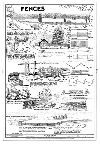
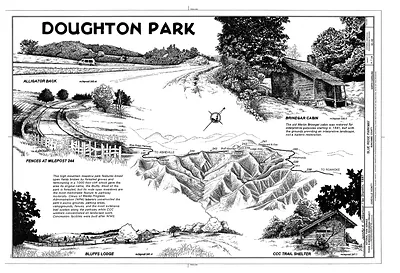
Tunnels: Blue Ridge Parkway drawing sheet with plans and portals – Vintage Print

(Each image is professionally and digitally cleaned of artifacts such as color bars and extra borders prior to printing.)
Description
Few images capture their era like this historic drawing of Tunnels: Blue Ridge Parkway drawing sheet with plans and portals. It comes from the Snapshots of the Past collection, curated over 25 years for its historical value.
Order it framed and ready to hang, or unframed to match a frame you already love. It brings character to any room and makes a memorable gift. Free shipping in the lower 48 states. Snapshots of the Past has been bringing history to the wall since 2001, for tens of thousands of customers worldwide.
Tunnels: Blue Ridge Parkway drawing sheet with plans and portals
Order a print
Thank you. Your order went through, and a receipt is on its way by email.
Secure checkout · SSL encryptedPowered by Stripe and PayPal
Free shipping in the lower 48 states. The checkout page shows the picture, size and price before you pay.
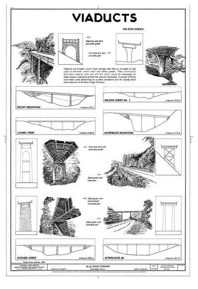
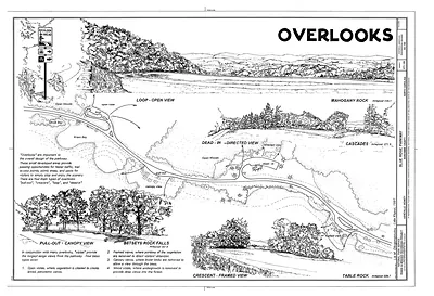
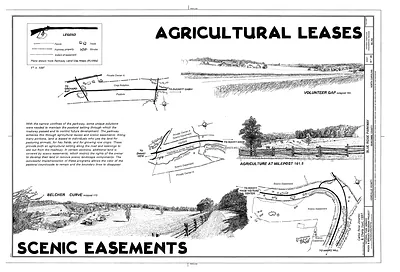
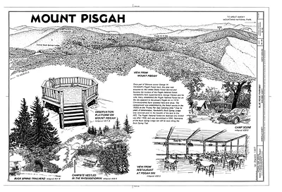
The Blue Ridge Parkway, a scenic road that winds along the crest of the Appalachians for more than 470 miles, required a long series of tunnels cut through mountain spurs and ridges. This drawing sheet collects the plans and portal elevations for those bores, showing how engineers laid out the openings at each end of the cut. Work on the parkway began in the 1930s as a New Deal era project, and its tunnels were among the most demanding engineering tasks along the route. The sheet is useful for understanding how the road's builders balanced grade, rock conditions, and the view framed at each portal.
| Original scan | 14,418 × 9,820 px · prints to 48 × 33 in at 300 dpi |
|---|---|
| Reference | 00024a |
More from the Blue Ridge Parkway collection
Snapshots of the Past helps heritage brands, museums, historians and storytellers tell stories with history: historic prints, image licensing and historical storytelling drawn from more than 25 years of research and curation.