The Black Mountains: Blue Ridge Parkway drawing with map and vignettes – Historic Map Reproduction

(Each image is professionally and digitally cleaned of artifacts such as color bars and extra borders prior to printing.)
Description
This antique map of The Black Mountains: Blue Ridge Parkway drawing with map and vignettes brings a moment of history to your wall. It is part of the Snapshots of the Past archive, gathered over 25 years of research.
The framed print arrives ready to hang; the unframed option suits custom framing. A fine choice for anyone who loves history, and a gift that gets noticed. Free shipping in the lower 48 states. Snapshots of the Past has been bringing history to the wall since 2001, for tens of thousands of customers worldwide.
The Black Mountains: Blue Ridge Parkway drawing with map and vignettes
Order a print
Thank you. Your order went through, and a receipt is on its way by email.
Secure checkout · SSL encryptedPowered by Stripe and PayPal
Free shipping in the lower 48 states. The checkout page shows the picture, size and price before you pay.
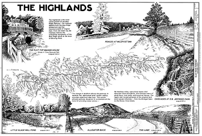
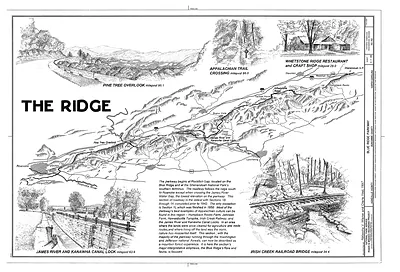
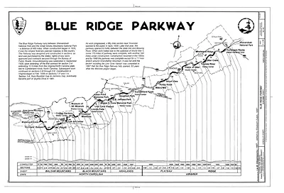
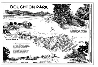
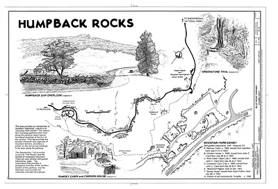
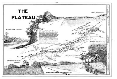
The Blue Ridge Parkway, which runs roughly 469 miles along the crest of the southern Appalachians, was conceived in the 1930s as a scenic road tying Shenandoah National Park to the Great Smoky Mountains. This drawing sets its stretch through the Black Mountains, the highest range east of the Mississippi, and pairs a map with small vignettes of scenes along the route. The combination reflects how the parkway was promoted as a destination in its own right, with views and overlooks presented as the attraction rather than just the path between cities.
| Original scan | 14,446 × 9,832 px · prints to 48 × 33 in at 300 dpi |
|---|---|
| Reference | 00006a |
More from the Blue Ridge Parkway collection
Snapshots of the Past helps heritage brands, museums, historians and storytellers tell stories with history: historic prints, image licensing and historical storytelling drawn from more than 25 years of research and curation.