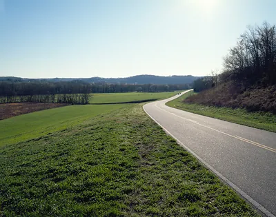
Natchez Trace Parkway
69 historic pictures in the Natchez Trace Parkway collection, in 6 sections, part of Landmarks. Each one can be ordered as a print or licensed, and the collection is a starting point for telling stories about the past.
Open the interactive boardThe Natchez Trace was a footpath before it was a road, and a road long before it was a parkway. It runs about 440 miles from Natchez, Mississippi, to near Nashville, Tennessee, through country the Choctaw and Chickasaw had crossed for centuries.
In the late 1700s and early 1800s, the Trace became one of the busiest routes in the young country, and almost all the traffic went one way on foot. Farmers and boatmen from the Ohio Valley floated their goods down the Mississippi on flatboats to Natchez and New Orleans. They sold the cargo, broke up the boats for lumber, and walked or rode home up the Trace. They were known as Kaintucks, whatever state they came from.
The Trace was rough and dangerous. Travelers worried about robbers, swamps and fever. Inns called stands grew up along the route to feed and house them. Then the steamboat changed everything. Once boats could travel upriver under power, there was no reason to walk home, and by the 1820s and 1830s the Trace went quiet.
Meriwether Lewis, of the Lewis and Clark Expedition, died at one of those stands in October 1809, while traveling the Trace toward Washington. Whether he took his own life or was murdered has been argued ever since. He is buried near the spot, and a broken stone column marks the grave. He has his own section on this board.
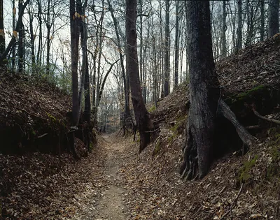
The parkway was authorized by Congress in 1938 and built in stages by the National Park Service over many decades. It was finished in 2005. Like the Blue Ridge Parkway, it is a slow road with no commercial traffic, made for looking. This board has black-and-white photographs, drawings, maps and views of the Trace and its sites. When you look at the pictures, keep an eye out for the sunken sections of the old Trace. In places, the feet of travelers and their animals wore the path down into the soft soil, leaving a trail sunk well below the forest floor. Those stretches are the oldest thing on the route.
Natchez Trace Parkway
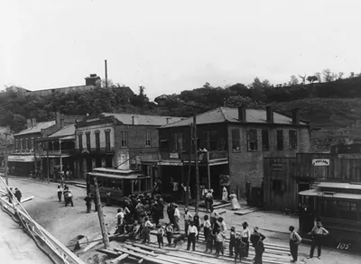 The landing at Natchez, Miss. ([1912])
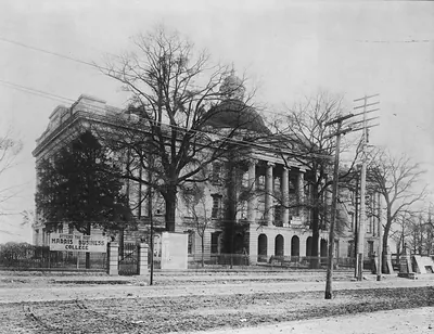 Old Capitol, Jackson, Mississippi ([between 1900 and 19)
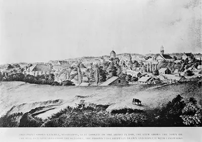 This print shows Natchez, Mississippi, as it looked to the artist in 1840 ([between 1900 and 19)
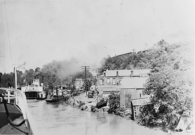 Natchez, Miss. - Ferry landing (1927 April 27.)
 MS Memorial Reunion Vicksburg 1917 PHOTO (1917)
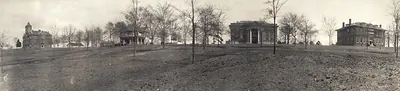 MS Millsaps College, Jackson 1910 PHOTO (1910)
 MS Panoram of Vicksburg (1910)
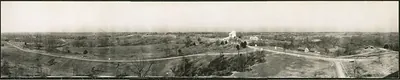 MS Panorama 1, battlefield, Vicksburg 1910 PHOTO (1910)
 MS Panoramic view of Jackson 1910 PHOTO (1910)
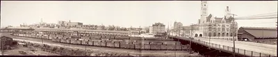 TN 1905 Panorama of Nashville terminal PHOTO (1905)
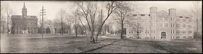 TN 1909 Vanderbilt University, Nashville PHOTO (1909)
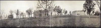 TN 1916 Roger Williams University, Nashville PHOTO (1916)
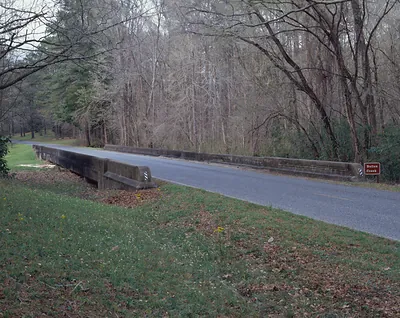 Bullen Creek bridge on the Natchez Trace Parkway
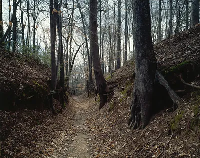 Sunken forest trail with bare trees and fallen leaves
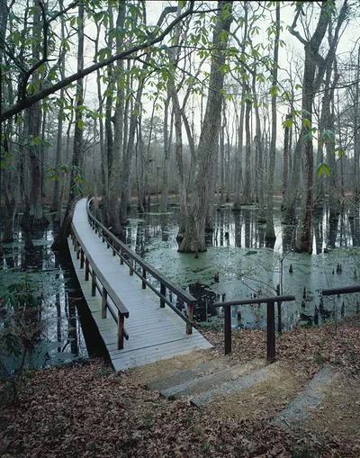 Wooden boardwalk through cypress swamp with water and trees
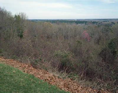 Wooded valley view from grassy overlook, late winter
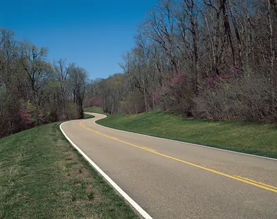 Winding road through spring woodland with redbuds
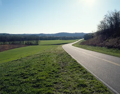 Curving two-lane road through green fields and hills
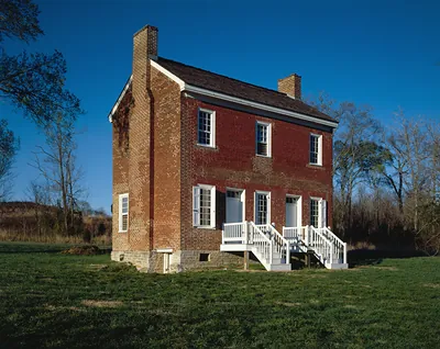 Two-story brick house with white porch and steps
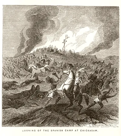 Burning of the Spanish camp at Chickasaw / J.W. Orr, N.Y. ([published 1858])
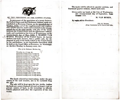 Proclamation of Chickasaw land sale signed by Martin Van Buren
 Olde Yankee decorative lettering with engraved mustache ornament
B-W Natr
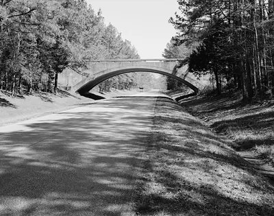 Concrete arch bridge over a parkway road
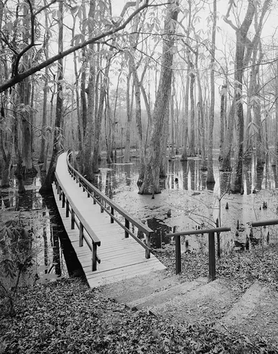 Wooden boardwalk through a cypress swamp, black and white photograph
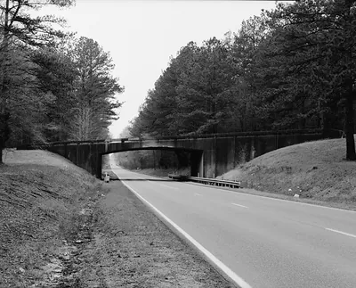 Parkway road passing under a concrete bridge through pines
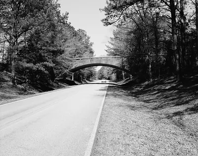 Black and white view of parkway road under concrete arch bridge
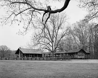 Log buildings with split-rail fence under bare trees
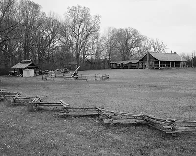 Log house and farm buildings in open field
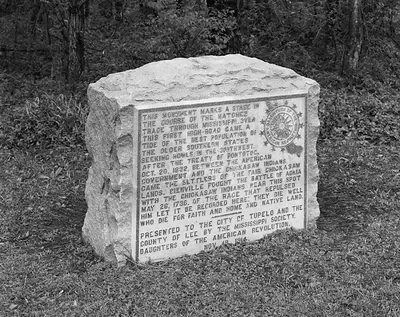 Stone monument marking the Natchez Trace and Chickasaw history
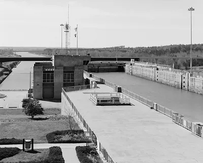 Lock and control building on a waterway, black and white photograph
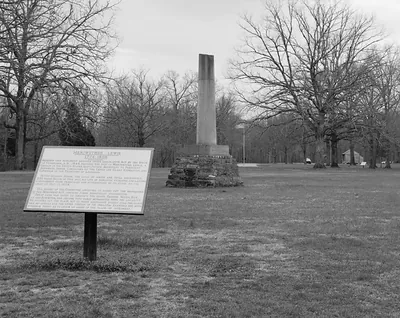 Meriwether Lewis 1774-1809 monument and interpretive sign
Drawings
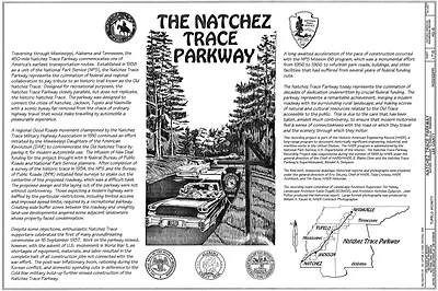 The Natchez Trace Parkway
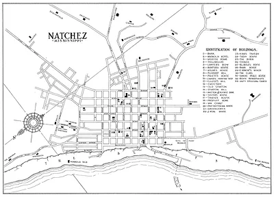 Map of Natchez, Mississippi, with identification of buildings
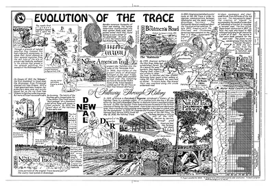
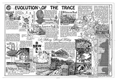 Evolution of the Trace: A Pathway Through History
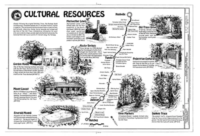
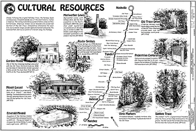 Cultural Resources of the Natchez Trace Parkway, illustrated map
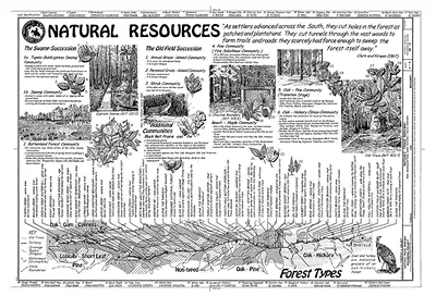
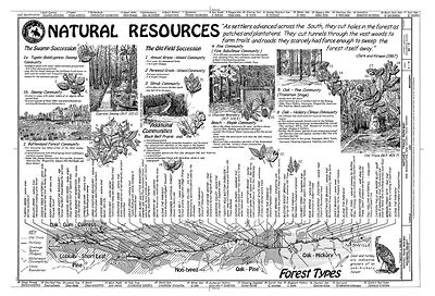 Natural Resources: Forest Types Along the Natchez Trace
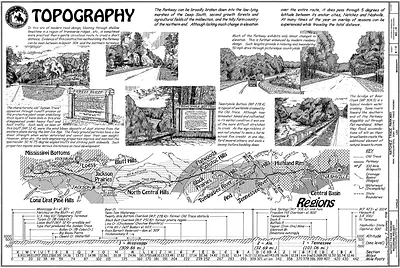 Topography: Natchez Trace Parkway regions and road scenes drawing
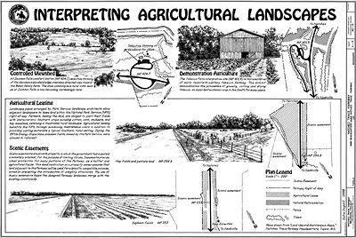 Interpreting Agricultural Landscapes, Natchez Trace Parkway board
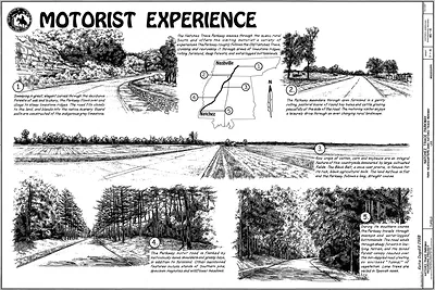 Motorist Experience: Natchez Trace Parkway pen-and-ink panel sheet
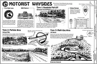 Motorist Waysides: Natchez Trace Parkway schematic drawings
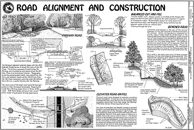 Road Alignment and Construction
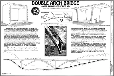 Double Arch Bridge over Tennessee Route 96, measured drawing sheet
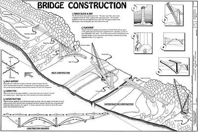 Bridge Construction
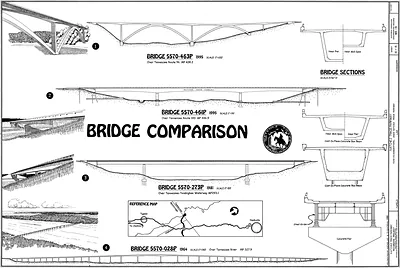 Bridge Comparison drawing of Natchez Trace Parkway bridges
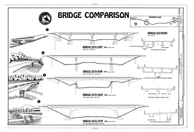 Bridge Comparison: elevations and bridge sections drawing
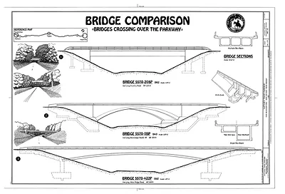 Bridge Comparison: Bridges Crossing Over the Parkway
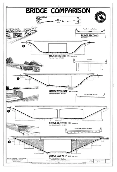 Natchez Trace Parkway · Drawings
Maps Views
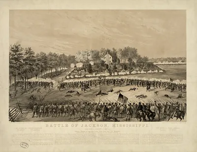 Battle of Jackson, Mississippi--Gallant charge of the 17th Iowa, 80th Ohio and 10th Missou (Middleton, Strobridg)
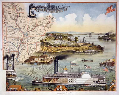 Mississippi river steamboat / executed by the Heliotype Printing Co., Boston, Mass. U.S.A. (c1895.)
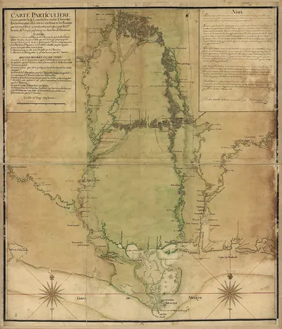 Carte particulière d'une partie de la Louisiane
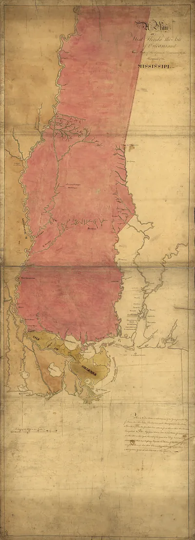 Plan of West Florida, the Isle of Orleans and Spanish Dominions
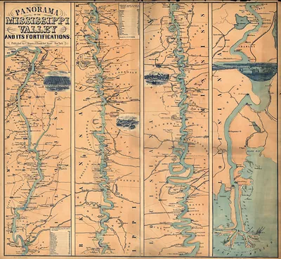 Panorama of the Mississippi Valley and its fortifications eng. by F.W. Boell
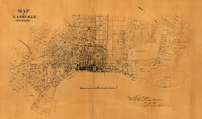 Map of Nashville, Tennessee. 1860s
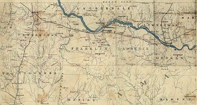 cws 00014 [Map of northwest Alabama and northeast Mississippi]
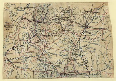 Hand-drawn map of the Vicksburg and Jackson environs, Mississippi
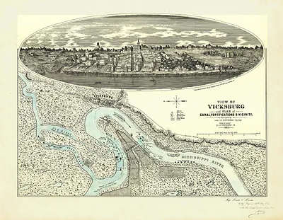 MS Vicksburg 1863 MAP (1863)
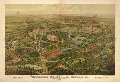 TN Nashville 1897 MAP (1897)
Meriwether Lewis
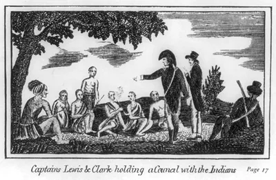 Captain Lewis & Clark holding a council with the Indians (Philadelphia : Print)
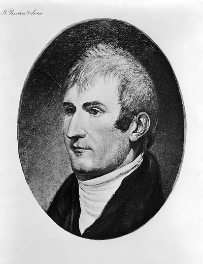 Meriwether Lewis (c1903.)
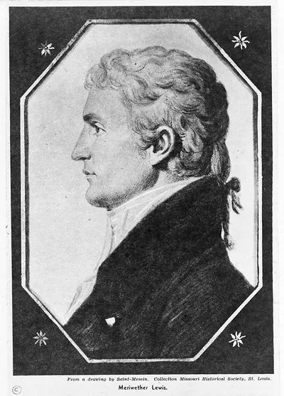 Meriwether Lewis ([between 1890 and 19)
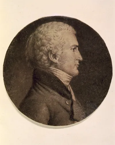 [Meriwether Lewis, head-and-shoulders portrait, facing right] ([Washington, D.C. : )
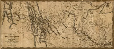 A Map of Lewis and Clark's Track, Across the Western Portion of North America
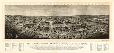 Panorama of the World's Fair, St. Louis, 1904
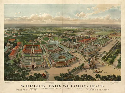 World's Fair, St. Louis, 1904, bird's-eye view