Panorama of the Mississippi Valley and its fortifications eng. by F.W. Boell – Antique Photo Print

(Each image is professionally and digitally cleaned of artifacts such as color bars and extra borders prior to printing.)
Description
A window into the past: Panorama of the Mississippi Valley and its fortifications eng. by F.W. Boell, preserved in this historic image. It is part of the Snapshots of the Past archive, gathered over 25 years of research.
Order it framed and ready to hang, or unframed to match a frame you already love. It brings character to any room and makes a memorable gift. Free shipping in the lower 48 states. Snapshots of the Past has been bringing history to the wall since 2001, for tens of thousands of customers worldwide.
Panorama of the Mississippi Valley and its fortifications eng. by F.W. Boell
Order a print
Thank you. Your order went through, and a receipt is on its way by email.
Secure checkout · SSL encryptedPowered by Stripe and PayPal
Free shipping in the lower 48 states. The checkout page shows the picture, size and price before you pay.
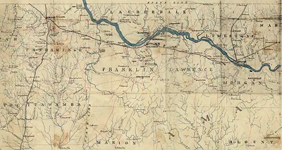
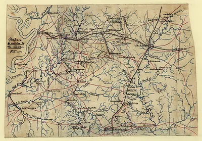
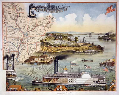
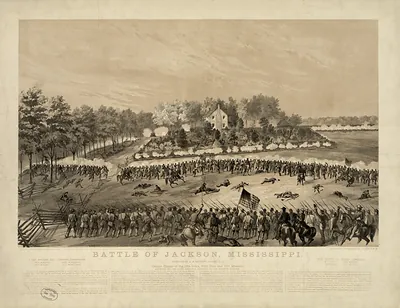
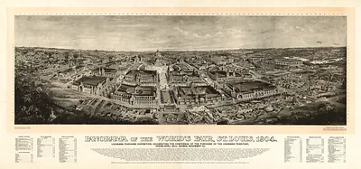
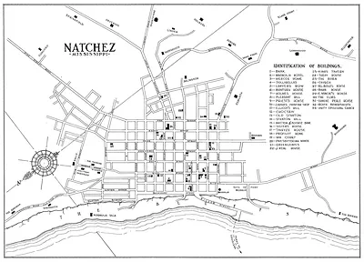
This engraving does not show one site. It sweeps across the Mississippi Valley and marks the fortifications that guarded its waterways, treating the river as a line to be defended. Panoramic views like this one combined surveyed detail with a bird's-eye perspective, a format that let readers grasp strategic terrain they would never see in person. The Natchez Trace Parkway, the board's related landmark, follows an older overland route linking river towns such as Natchez with the interior, which helps explain why control of the river and its approaches mattered so much.
| Original scan | 7,728 × 7,120 px · prints to 26 × 24 in at 300 dpi |
|---|---|
| Reference | cw0042500 Panorama of the Mississippi Valley and its fortifications eng. by F.W. Boell |
More from the Natchez Trace Parkway collection
Snapshots of the Past helps heritage brands, museums, historians and storytellers tell stories with history: historic prints, image licensing and historical storytelling drawn from more than 25 years of research and curation.