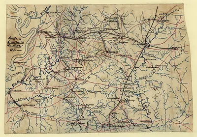
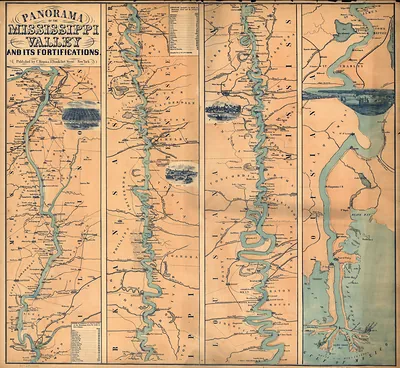
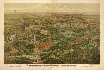
cws 00014 [Map of northwest Alabama and northeast Mississippi] – Antique Wall Map

(Each image is professionally and digitally cleaned of artifacts such as color bars and extra borders prior to printing.)
Description
Cws 00014 [Map of northwest Alabama and northeast Mississippi] comes to life in this antique map, reproduced from the original with every detail intact. Drawn from the Snapshots of the Past archive, it is an authentic piece of documented history.
The framed print arrives ready to hang; the unframed option suits custom framing. A conversation-starting piece for home, office, or as a meaningful gift. Free shipping in the lower 48 states. Snapshots of the Past has been bringing history to the wall since 2001, for tens of thousands of customers worldwide.
cws 00014 [Map of northwest Alabama and northeast Mississippi]
Order a print
Thank you. Your order went through, and a receipt is on its way by email.
Secure checkout · SSL encryptedPowered by Stripe and PayPal
Free shipping in the lower 48 states. The checkout page shows the picture, size and price before you pay.
This map covers the border country where northwest Alabama meets northeast Mississippi, a region of farms, river valleys, and small market towns. Its bird's-eye view draws the land as if seen from above at an angle, a style that panoramic maps used to show roads, communities, and terrain in a single image that a reader could take in at a glance. Maps of this kind were popular in the late 1800s and early 1900s, when they served as promotional and planning tools for towns and regions. Because the area sits close to the Natchez Trace corridor, the map offers a useful view of how the land looked when the old trail's surrounding communities were taking shape.
| Notes | Bird's-eye view map. |
|---|---|
| Subjects | Panoramic maps-- |
| Original scan | 5,671 × 3,019 px · prints to 19 × 10 in at 300 dpi |
| Reference | cws00014 [Map of northwest Alabama and northeast Mississippi] |
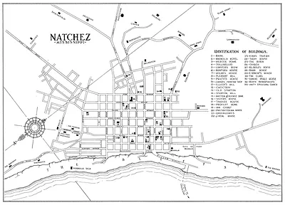
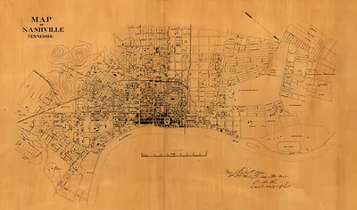
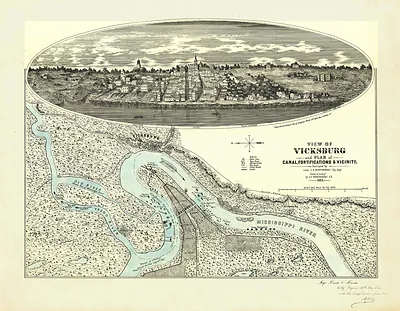
More from the Natchez Trace Parkway collection
Snapshots of the Past helps heritage brands, museums, historians and storytellers tell stories with history: historic prints, image licensing and historical storytelling drawn from more than 25 years of research and curation.