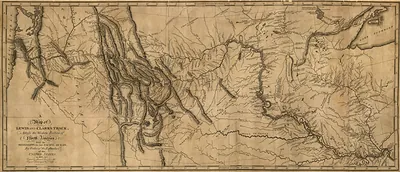
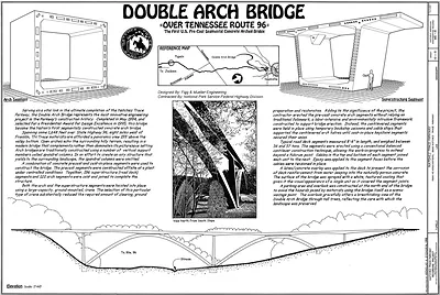
Map of Nashville, Tennessee. 1860s – Antique Map Print

(Each image is professionally and digitally cleaned of artifacts such as color bars and extra borders prior to printing.)
Description
This antique map of Map of Nashville, Tennessee. 1860s brings a moment of history to your wall. It comes from the Snapshots of the Past collection, curated over 25 years for its historical value.
The framed print arrives ready to hang; the unframed option suits custom framing. A fine choice for anyone who loves history, and a gift that gets noticed. Free shipping in the lower 48 states. Since 2001, Snapshots of the Past has shipped historic prints to tens of thousands of customers around the world.
Map of Nashville, Tennessee. 1860s
Order a print
Thank you. Your order went through, and a receipt is on its way by email.
Secure checkout · SSL encryptedPowered by Stripe and PayPal
Free shipping in the lower 48 states. The checkout page shows the picture, size and price before you pay.
This map centers on Nashville itself, the Cumberland River city that the Natchez Trace Parkway's old route once led toward. Its 1860s date places it in a turbulent decade, when Nashville was a rail and river hub and was occupied by Union forces from 1862 after the fall of Fort Donelson. Maps from this period were often drawn to show streets, waterways, and military positions, so they reveal how the city was laid out and how it was understood during the Civil War. The Trace itself, a footpath and later a road linking Nashville with Natchez on the Mississippi River, is worth keeping in mind as you read the city's connections to the wider region.
| Original scan | 3,000 × 1,769 px · prints to 10 × 6 in at 300 dpi |
|---|---|
| Reference | cw0433200 Map of Nashville, Tennessee. 1860s |
More from the Natchez Trace Parkway collection
Snapshots of the Past helps heritage brands, museums, historians and storytellers tell stories with history: historic prints, image licensing and historical storytelling drawn from more than 25 years of research and curation.