Natchez Trace Parkway Cultural Resources map – Vintage Map Wall Art

(Each image is professionally and digitally cleaned of artifacts such as color bars and extra borders prior to printing.)
Description
This antique map of Natchez Trace Parkway Cultural Resources map brings a moment of history to your wall. It is part of the Snapshots of the Past archive, gathered over 25 years of research.
Order it framed and ready to hang, or unframed to match a frame you already love. A fine choice for anyone who loves history, and a gift that gets noticed. Free shipping in the lower 48 states. Snapshots of the Past, founded in 2001, has served tens of thousands of customers worldwide.
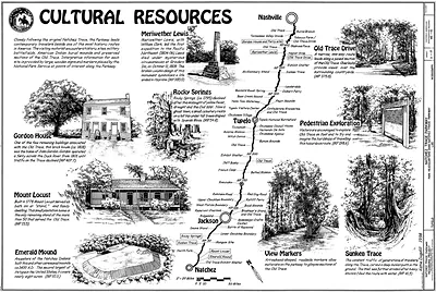
Natchez Trace Parkway Cultural Resources map
Order a print
Thank you. Your order went through, and a receipt is on its way by email.
Secure checkout · SSL encryptedPowered by Stripe and PayPal
Free shipping in the lower 48 states. The checkout page shows the picture, size and price before you pay.
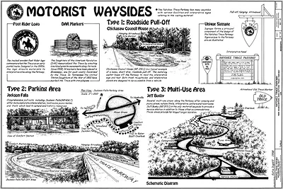
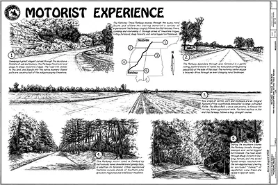
Rather than showing the road itself, this item is a map of the cultural resources along the Natchez Trace Parkway, the scenic route that follows an old travel corridor from Natchez, Mississippi, toward Nashville, Tennessee. The Trace was used for generations by Native American travelers, and later by farmers, traders and drovers moving goods and livestock along it. Maps like this help visitors find the mounds, old homesites, inns and other places tied to that long history. The parkway was authorized by Congress in 1938 and is managed by the National Park Service.
| Original scan | 900 × 611 px |
|---|---|
| Reference | 00003a |
More from the Natchez Trace Parkway collection
Snapshots of the Past helps heritage brands, museums, historians and storytellers tell stories with history: historic prints, image licensing and historical storytelling drawn from more than 25 years of research and curation.