The South
45 historic pictures in the The South collection, in 8 sections, part of Cities. Each one can be ordered as a print or licensed, and the collection is a starting point for telling stories about the past.
Open the interactive boardThe South was photographed by 2 very different groups of people. Around 1900, commercial photographers made handsome views of New Orleans balconies, Charleston mansions and Mississippi steamboats to sell as prints and postcards. In the 1930s, government photographers came to record poverty, and the South they found was the one the postcards had left out.
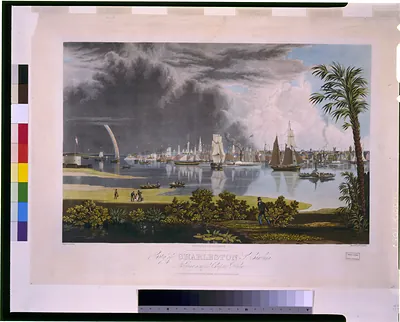
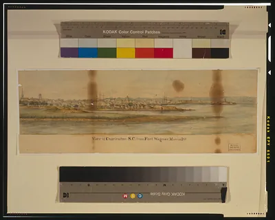
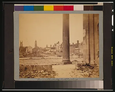
Charleston is a good place to start. It was one of the richest cities in colonial America, built on rice, indigo and the labor of enslaved people. The Civil War began in its harbor, when Confederate guns fired on Fort Sumter in April 1861. The city was shelled during the war and badly damaged by an earthquake in 1886. Much of the old town survived because Charleston was too poor for decades afterward to tear it down and rebuild.
The river runs through the rest. Pictures from Louisiana and Mississippi show cotton bales stacked on levees, steamboats at the landing and the long, flat country of the Delta. Alabama and South Carolina bring cotton mills and small market towns. Kentucky adds horse country and the hills. Texas, which joined the Union in 1845 after a decade as an independent republic, brings the Alamo in San Antonio, cattle, and later oil.
The New Deal photographers of the Farm Security Administration made some of the best-known pictures of the region. Walker Evans and the writer James Agee spent part of 1936 with tenant farm families in Alabama, work that became the book Let Us Now Praise Famous Men. Dorothea Lange, Marion Post Wolcott and others photographed sharecroppers, cotton pickers and roadside stores across the Delta and beyond.
In the older views, look at what the camera leaves out and who is standing in the background. Black Southerners often appear at the edges of pictures made for white buyers, working on the wharves or walking past on the street. They were the majority of the population in parts of the region, and the pictures rarely put them in the center.
Alabama
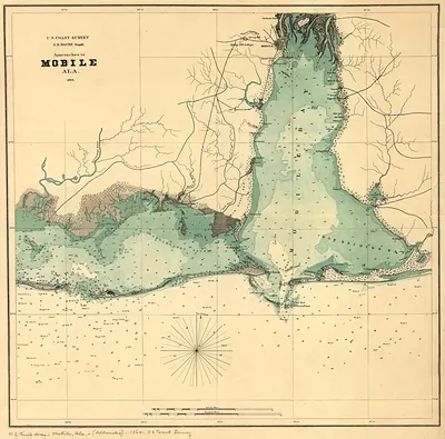 Approaches to Mobile Ala (1864)
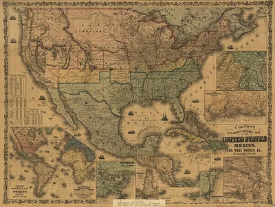 Colton's rail-road and military map of the United States, Mexico, the West Indies, (1862)
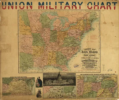 Union Military Chart with railroad map and inset views
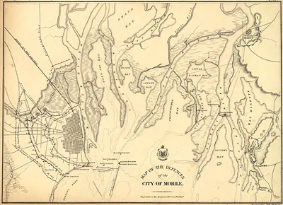 Map of the defences of the city of Mobile 1862 64, Alabama
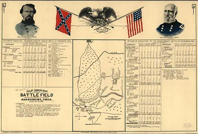 Map showing the battle field at Harrisburg, Miss., 1864 (1864)
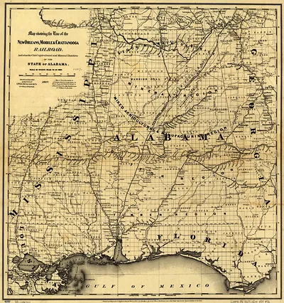 Map showing the line of the New Orleans, Mobile & Chattanooga Railroad, and also the chief (1867)
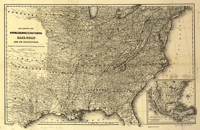 Map showing the New Orleans Mobile Chattanooga Railroad and its connections c 1865 x, Alab
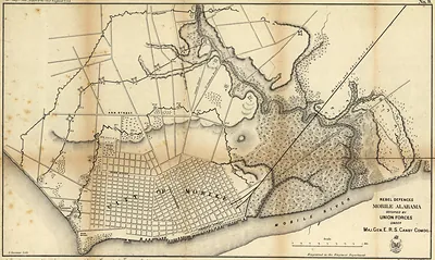 Rebel defences Mobile Alabama occupied by Union forces under Maj Gen ERS Canby, Alabama
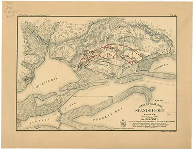 Siege operations at Spanish Fort, Mobile Bay, by the U.S. forces under Maj. Gen. Canby cap (1865)
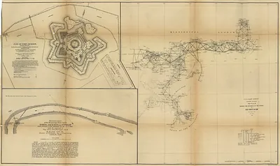 triangulation network from Mobile Bay by the Mississippi River delta.1862
Arkansas
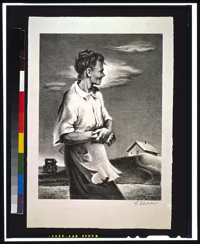
Kentucky
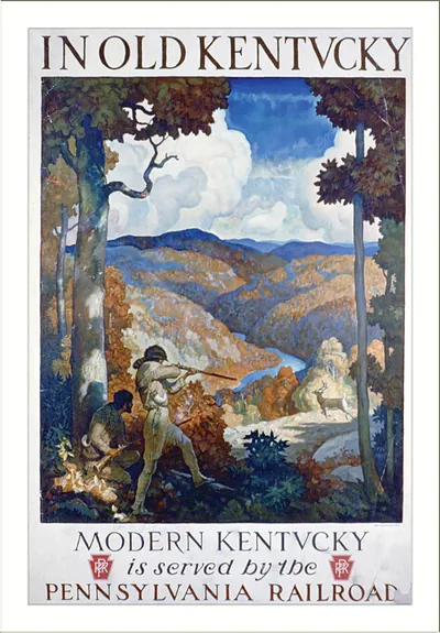 In old Kentucky. Modern Kentucky is served by the Pennsylvania Railroad (c1931.)
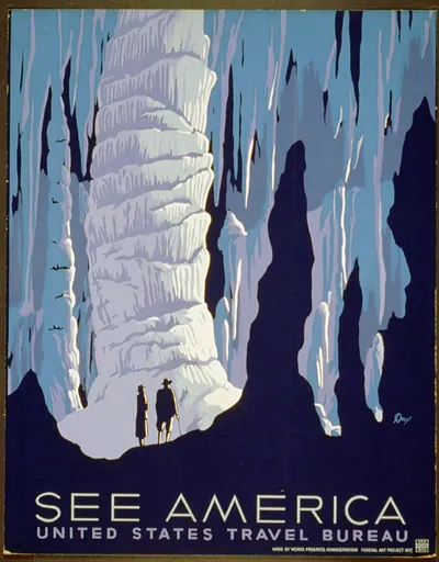 See America / Dux. (1936)
Louisiana
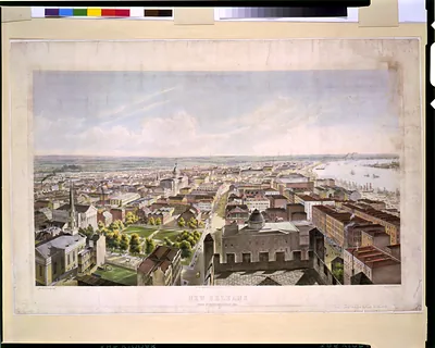 New Orleans from St. Patrick's Church 1852 / J.W. Hill & Smith, del. ; lith. par B.F. Smit (New York : Published)
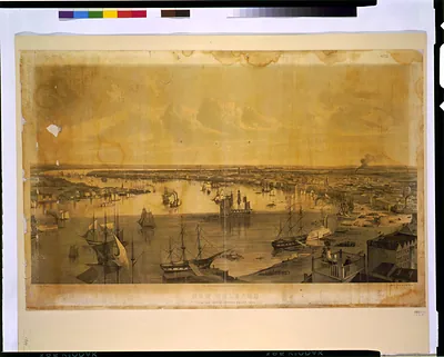 New Orleans from the lower cotton press 1852 / J.W. Hill & Smith, del. ; drawn on stone by (New York : Published)
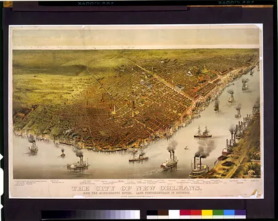 The city of New Orleans, and the Mississippi River Lake Pontchartrain in distance. (New York : Published)
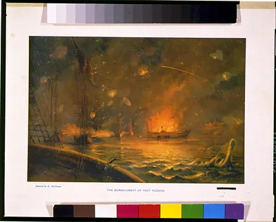 The bombardment of Port Hudson / painted by E. Packbauer. (c1902 Mar. 3.)
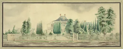 Watercolor of a large house behind a white picket fence
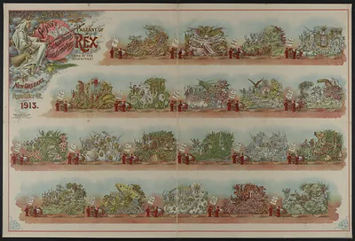 Carnival Edition Pageant of Rex, New Orleans 1913
Mississippi
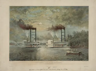 A steamboat race on the Mississippi, (between the Baltic & Diana) (c1859 May 21.)
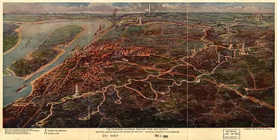 1925 The Vicksburg National Military Park and vicinity showing lines of siege and defense
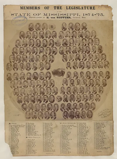 Members of the Legislature of the State of Mississippi, 1874-'75
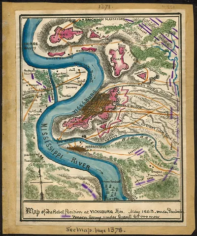 Map of the rebel position at Vicksburg, Miss., May 1863
South Carolina
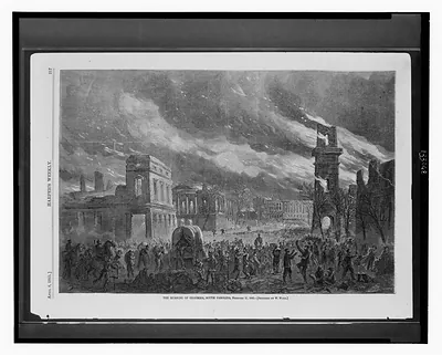 The burning of Columbia, South Carolina, February 17, 1865 / sketched by W. Waud. (1865 April 8.)
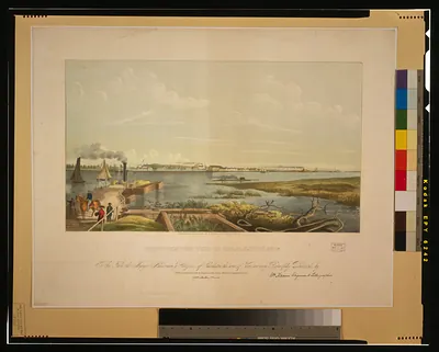 North-western view of Charleston, So. Ca. / lithographed & published by W. Keenan ; Wm. Ke ([Charleston] W. Keen)
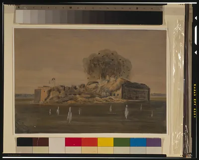 Fort Sumter, Charleston Harbor[sic] (1863 [ca. August 17 )
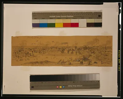 Columbia the morning after the fire ([1865 February 18])
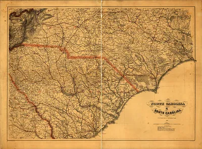 Map of North Carolina and South Carolina
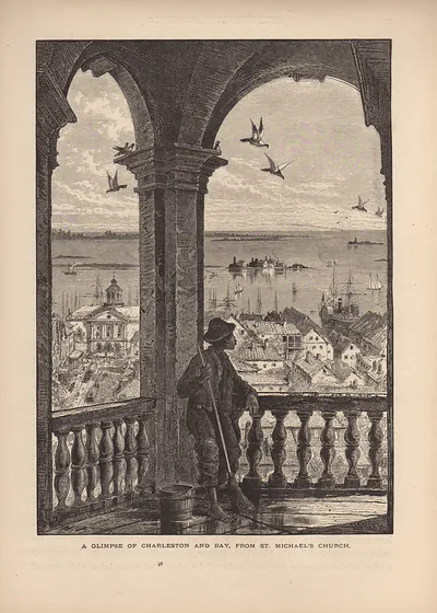 A Glimpse of Charleston and Bay, from St. Michael's Church
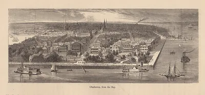 Charleston, from the Bay
Texas
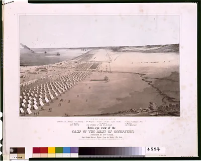 Birds-eye view of the camp of the army of occupation, commanded by Genl. Taylor, near Corp (N. York : G. & W. En)
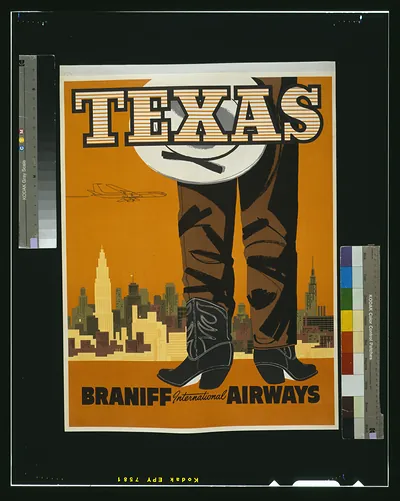 Texas. Braniff International Airways ([S.l. : s.n., ca. 19)
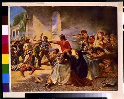 Battle of the Alamo / Percy Moran. (c1912.)
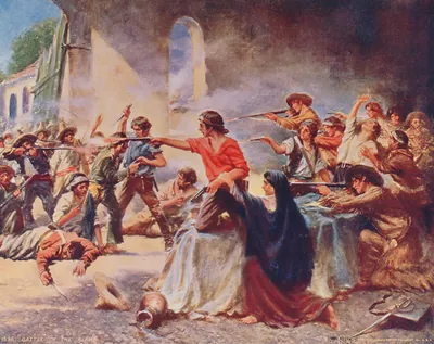 Battle of the Alamo / Percy Moran. (c1912.)
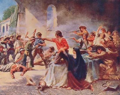 Battle of the Alamo
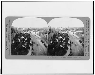 General view of the Alamo Plaza, San Antonio, Texas (Meadville, Pa. : Key)
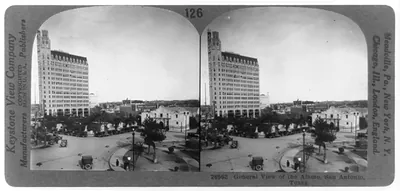 General view of the Alamo, San Antonio, Texas (Meadville, Pa. : Key)
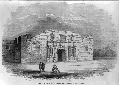 Texas: Church of Alamo, San Antonio de Bexar (1844)
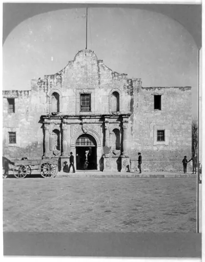 The Alamo facade with figures and a cart, San Antonio, Texas (1909)
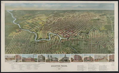 Houston, Texas, Birdseye View, 1891
 Elderly man in frock coat with cane and top hat