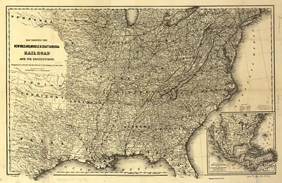
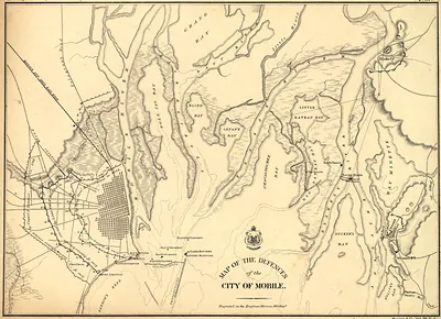
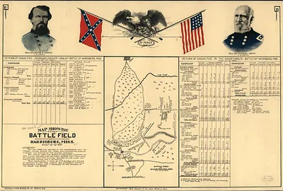
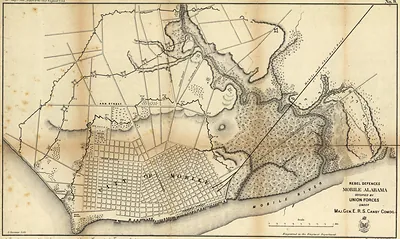
Map showing the line of the New Orleans, Mobile & Chattanooga Railroad, and also the chief agricultural and mineral districts of the state of Alabama – Historic Map Reproduction

(Each image is professionally and digitally cleaned of artifacts such as color bars and extra borders prior to printing.)
Description
This antique map of Map showing the line of the New Orleans, Mobile & Chattanooga Railroad, and also the chief agricultural and mineral districts of the state of Alabama brings a moment of history to your wall. Drawn from the Snapshots of the Past archive, it is an authentic piece of documented history.
Order it framed and ready to hang, or unframed to match a frame you already love. It brings character to any room and makes a memorable gift. Free shipping in the lower 48 states. Snapshots of the Past has been bringing history to the wall since 2001, for tens of thousands of customers worldwide.
Map showing the line of the New Orleans, Mobile & Chattanooga Railroad, and also the chief agricultural and mineral districts of the state of Alabama
Order a print
Thank you. Your order went through, and a receipt is on its way by email.
Secure checkout · SSL encryptedPowered by Stripe and PayPal
Free shipping in the lower 48 states. The checkout page shows the picture, size and price before you pay.
Few maps from 1867 pair a railway route with a state's resources as directly as this one does. It traces the New Orleans, Mobile & Chattanooga Railroad while marking Alabama's farming regions and mineral deposits, so it reads as both a transportation plan and an economic survey. The years just after the Civil War were a time when Southern rail lines were being rebuilt or reorganized, and promoters used maps like this to show investors which towns and resources a line could reach. Its attention to the state's coal and iron areas is worth noting, since those deposits would later drive much of Alabama's industrial growth.
| Created / published | 1867 |
|---|---|
| Original scan | 5,914 × 6,305 px · prints to 20 × 21 in at 300 dpi |
| Reference | Map showing the line of the New Orleans, Mobile & Chattanooga Railroad, and also the chief agricultural and mineral districts of the state of Alabama. 1867 |
More from the The South collection
Snapshots of the Past helps heritage brands, museums, historians and storytellers tell stories with history: historic prints, image licensing and historical storytelling drawn from more than 25 years of research and curation.