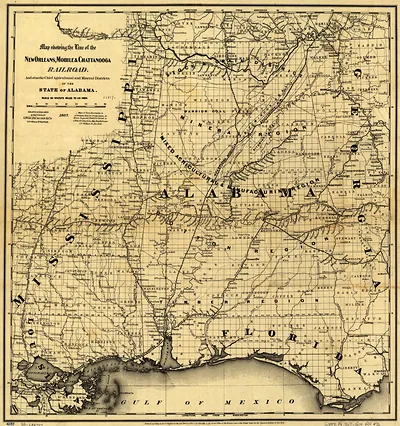
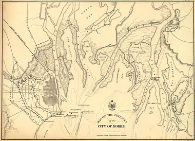
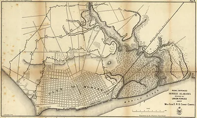
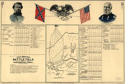
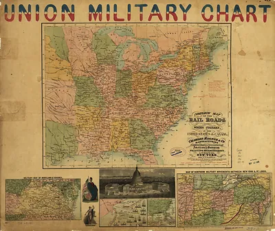
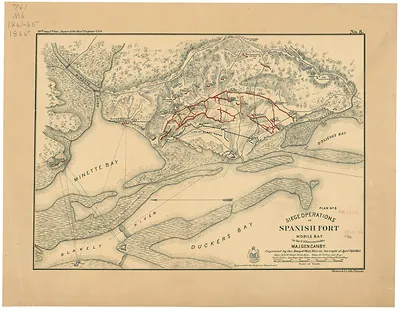
Map showing the New Orleans Mobile Chattanooga Railroad and its connections c 1865 x, Alabama – Antique Wall Map

(Each image is professionally and digitally cleaned of artifacts such as color bars and extra borders prior to printing.)
Description
This antique map of Map showing the New Orleans Mobile Chattanooga Railroad and its connections c 1865 x, Alabama brings a moment of history to your wall. It is part of the Snapshots of the Past archive, gathered over 25 years of research.
Order it framed and ready to hang, or unframed to match a frame you already love. Perfect for a home, office, library or classroom wall, and a gift with a story behind it. Free shipping in the lower 48 states. Snapshots of the Past, founded in 2001, has served tens of thousands of customers worldwide.
Map showing the New Orleans Mobile Chattanooga Railroad and its connections c 1865 x, Alabama
Order a print
Thank you. Your order went through, and a receipt is on its way by email.
Secure checkout · SSL encryptedPowered by Stripe and PayPal
Free shipping in the lower 48 states. The checkout page shows the picture, size and price before you pay.
The line on this bird's-eye view is the New Orleans, Mobile and Chattanooga Railroad, a Southern route that tied the Gulf port cities to the mountain country of Tennessee. Its tracks ran through the Civil War years, when rail lines carried troops and supplies and were often damaged or seized as the fighting moved across Alabama. Panoramic maps like this one drew towns and their rail connections in an angled, aerial style that made them easy to read, and they were popular with railroad companies and investors. The map captures a region just as its transportation network was being rebuilt after the war.
| Notes | Bird's-eye view map. |
|---|---|
| Subjects | Panoramic maps--Alabama |
| Original scan | 10,241 × 6,642 px · prints to 34 × 22 in at 300 dpi |
| Reference | Map showing the New Orleans, Mobile & Chattanooga Railroad and its connections. c1865 |
More from the The South collection
Snapshots of the Past helps heritage brands, museums, historians and storytellers tell stories with history: historic prints, image licensing and historical storytelling drawn from more than 25 years of research and curation.