New England
35 historic pictures in the New England collection, in 4 sections, part of Cities. Each one can be ordered as a print or licensed, and the collection is a starting point for telling stories about the past.
Open the interactive boardThe American industrial revolution started in a small wooden building beside a waterfall in Pawtucket, Rhode Island. In 1793, Samuel Slater, an English mechanic who had memorized the design of British spinning machinery, helped build a water-powered cotton mill there. Within a few decades, mills lined nearly every fast river in southern New England.
Rhode Island is a small state with 2 very different faces in the pictures. One is the mill village, with rows of worker housing built by the company next to the mill it served. The other is Newport, where the richest families of the Gilded Age built summer houses they called cottages. The Breakers, finished for Cornelius Vanderbilt II in 1895, has about 70 rooms.
Connecticut was a state of makers. Its towns turned out clocks, firearms, brass goods, hats and silverware. Hartford became the insurance capital of the country, and Mark Twain built his house there in the 1870s. Along the shore, New London and Mystic sent ships out whaling and sealing, and Mystic's shipyards built clipper ships in the 1850s.
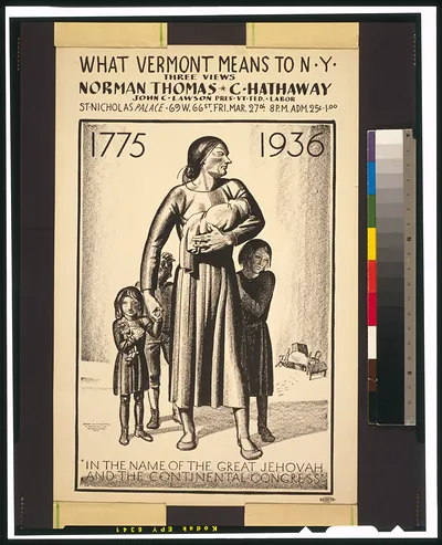
Vermont looks the way many people imagine all of New England looked. Dairy farms. Covered bridges. White churches on the green. The state also had real industry. Marble was quarried around Proctor, and granite around Barre, and stone from both went into buildings and monuments all over the country. In late winter, farm families tapped their maple trees and boiled the sap down in sugarhouses, and that annual work shows up often in old photographs.
A good thing to look for in New England pictures is the stone wall. Farmers cleared millions of rocks from their fields in the 1700s and 1800s and piled them along the edges. Many of those farms were later abandoned for better land in the West, and the forest grew back. Old photographs show the walls running across open pasture. Today many of them run through the middle of the woods.
New England
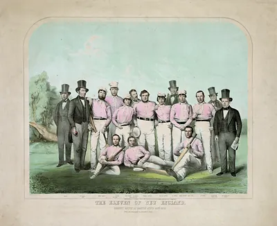 The Eleven Of New England Cricket Match At Boston, 1859
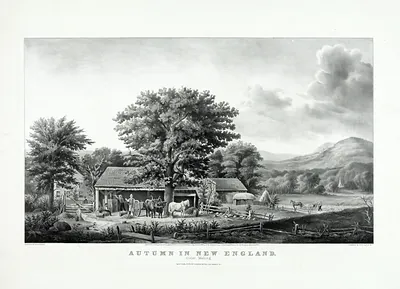 Autumn in New England: Cider Making lithograph
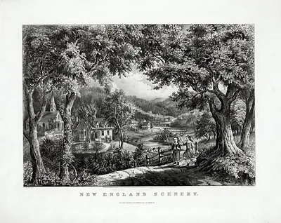 New England Scenery
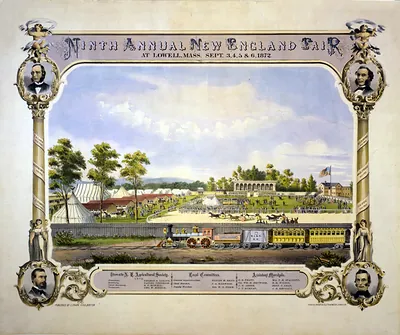 Ninth annual New England Fair, at Lowell, Mass., Sept. 3, 4, 5 & 6 1872 / D. Drummond ; Ch (Boston : C. Frank Ki)
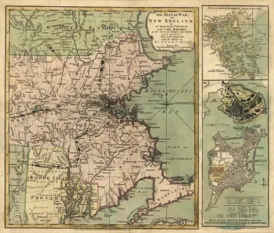 The Seat of war in New England, by an American volunteer, with the marches of the several (1775)
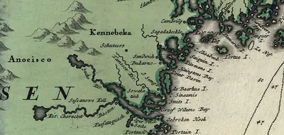 Historic map of the New England coast with place names
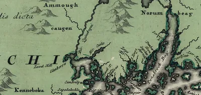 Antique map of New England coast with place names
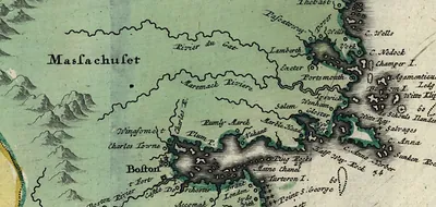 Engraved map of the New England coast and Massachusetts Bay
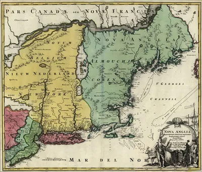 Map titled Nova Anglia showing New England and surrounding regions
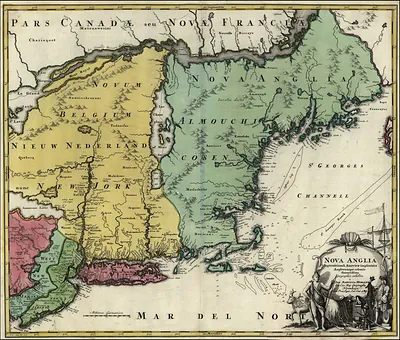 New England 1700 s
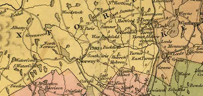 Hand-colored map of central Maine towns, roads and rivers
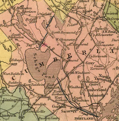 Map of Sebago Pond and Cumberland County, Maine
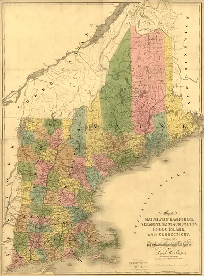 Map of Maine, New Hampshire, Vermont, Massachusetts, Rhode Island, and Connecticut
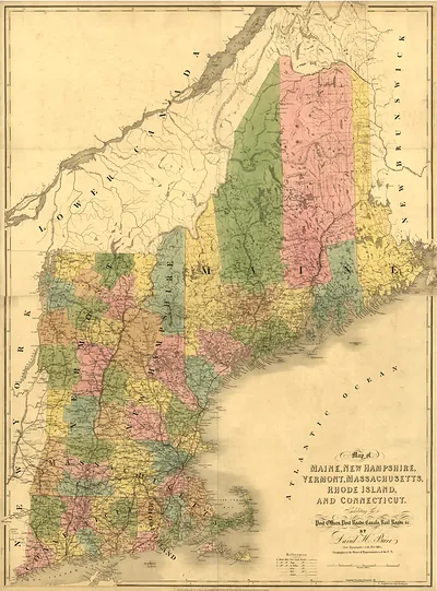 Map of Maine, New Hampshire, Vermont, Massachusetts, Rhode Island, and Connecticut (1839)
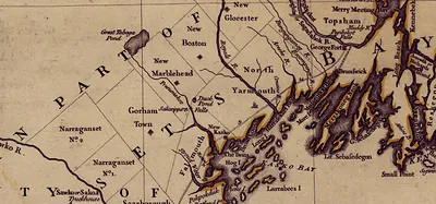 Detail of a 1755 map of Massachusetts Bay and the New England coast
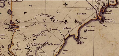 Map of the New England coast showing Kennebunk, Biddeford and Wells
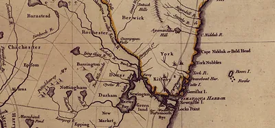 Map of the New England coast around Piscataqua Harbor
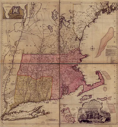 A Map of the Most Inhabited Part of New England
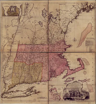 A Map of the Most Inhabited Part of New England
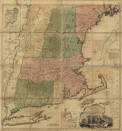 New England Thos. Jefferys 1774, Massachusetts
Connecticut
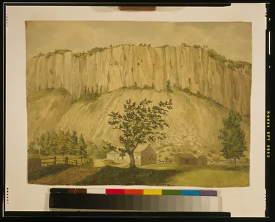 Paper mill at Hodgskintown near New Haven ([182-])
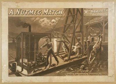 A Nutmeg Match: Perilous Plight Beneath the Ponderous Pile Driver
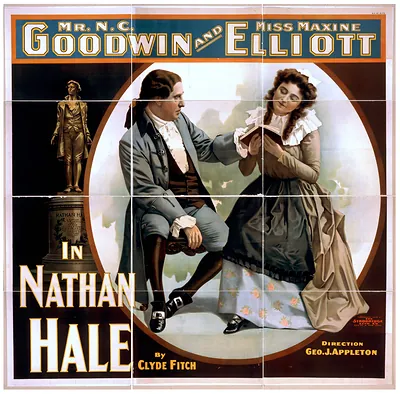 Theatre poster for Nathan Hale starring Goodwin and Elliott
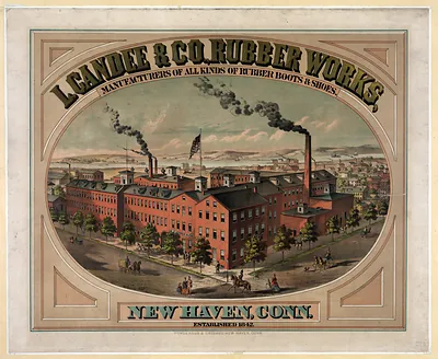 L. Candee & Co., Rubber Works, manufacturers of all kinds of rubber boots & shoes. New Hav ([no date recorded on)
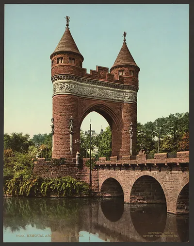 Memorial Arch, Hartford, Conn. (c1905.)
Rhode Island
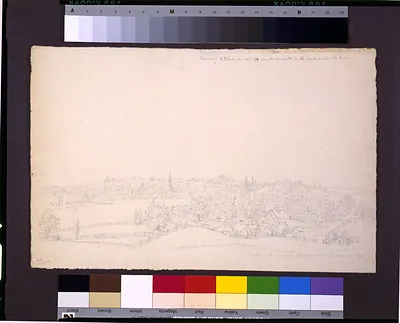 View of Providence, Rhode Island (1809 June 29.)
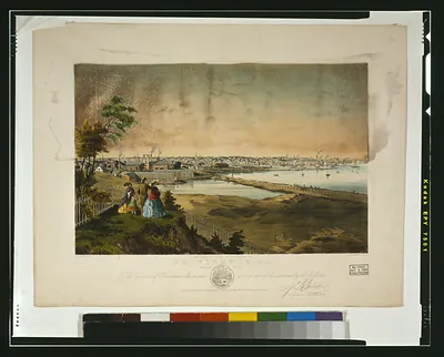 Providence, R.I., harbor view, taken from the grounds of Geo. W. Rhodes, Esq. / J.B. Bache (N[ew] Y[ork] : Endic)
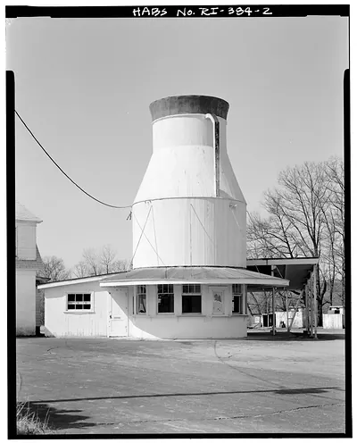 Milk can-shaped roadside building with attached white annex
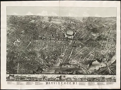 Bird's-eye view map of Providence, R.I.
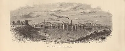 City of Providence, from Southern Suburbs
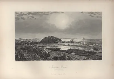 Indian Rock, Narragansett
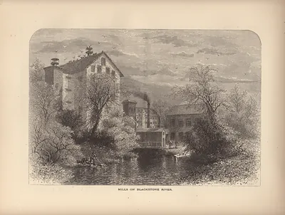 Mills on Blackstone River
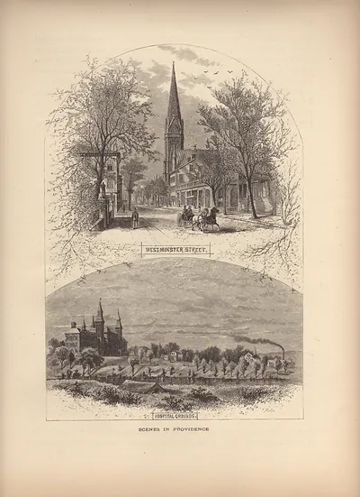 Scenes in Providence: Westminster Street and Hospital Grounds
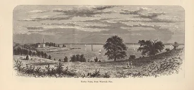 Rocky Point, from Warwick Pier