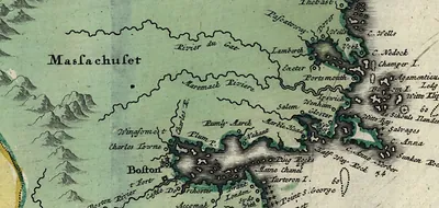
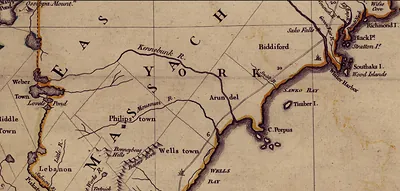
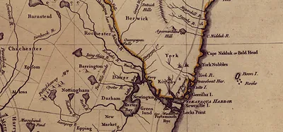
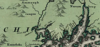
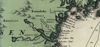
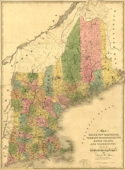
Detail of a 1755 map of Massachusetts Bay and the New England coast – Historic Map Reproduction

(Each image is professionally and digitally cleaned of artifacts such as color bars and extra borders prior to printing.)
Description
Step back in time with Detail of a 1755 map of Massachusetts Bay and the New England coast, an antique map rich in period detail. Drawn from the Snapshots of the Past archive, it is an authentic piece of documented history.
Choose the framed print, ready to hang the day it arrives, or the unframed print for a frame of your own. It brings character to any room and makes a memorable gift. Free shipping in the lower 48 states. Snapshots of the Past, founded in 2001, has served tens of thousands of customers worldwide.
Detail of a 1755 map of Massachusetts Bay and the New England coast
Order a print
Thank you. Your order went through, and a receipt is on its way by email.
Secure checkout · SSL encryptedPowered by Stripe and PayPal
Free shipping in the lower 48 states. The checkout page shows the picture, size and price before you pay.
A 1755 map of Massachusetts Bay and the New England coast shows a region that was then one of the most closely watched parts of British North America. Mapmakers of the period relied on surveys by naval officers and coastal pilots, so the shoreline, harbors, and sounding depths often carry more care than the interior, which was still thinly charted. The year 1755 falls early in the French and Indian War, when accurate charts of the coast were practical necessities for British shipping and military planning. Looking closely at the bay's islands and inlets reveals how much of colonial navigation depended on hand-drawn knowledge of these waters.
| Original scan | 1,897 × 888 px · prints to 6 × 3 in at 300 dpi |
|---|---|
| Reference | New England Thos Jefferys, 1755 1 |
More from the New England collection
Snapshots of the Past helps heritage brands, museums, historians and storytellers tell stories with history: historic prints, image licensing and historical storytelling drawn from more than 25 years of research and curation.