Historic map of the New England coast with place names – Antique Map Print

(Each image is professionally and digitally cleaned of artifacts such as color bars and extra borders prior to printing.)
Description
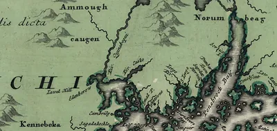
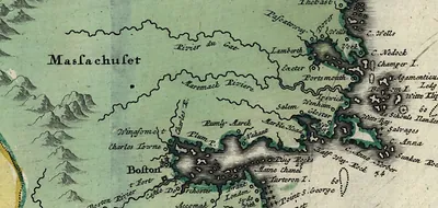
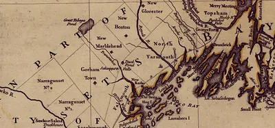
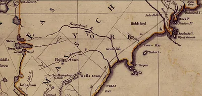
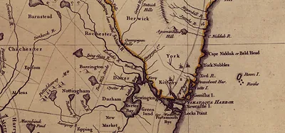
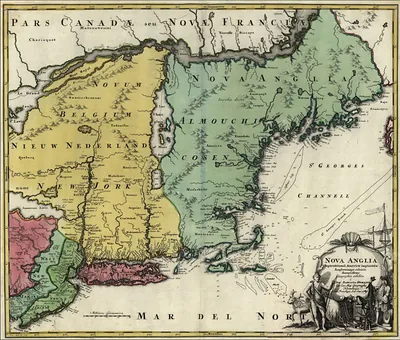
A window into the past: Historic map of the New England coast with place names, preserved in this antique map. It comes from the Snapshots of the Past collection, curated over 25 years for its historical value.
Order it framed and ready to hang, or unframed to match a frame you already love. It brings character to any room and makes a memorable gift. Free shipping in the lower 48 states. Since 2001, Snapshots of the Past has shipped historic prints to tens of thousands of customers around the world.
Historic map of the New England coast with place names
Order a print
Thank you. Your order went through, and a receipt is on its way by email.
Secure checkout · SSL encryptedPowered by Stripe and PayPal
Free shipping in the lower 48 states. The checkout page shows the picture, size and price before you pay.
Rather than a view of a single town, this map traces the shoreline itself, with bays, harbors and headlands labeled along the coast. Maps of this kind grew out of English exploration after Captain John Smith sailed the coast in 1614 and gave the region its name. Later surveyors and printers refined those early outlines, and many coastal names record who settled a site or how it was used. Look closely at the lettering and any depth markings, which show how mapmakers balanced the needs of sailors against the appeal of new settlements.
| Original scan | 1,886 × 897 px · prints to 6 × 3 in at 300 dpi |
|---|---|
| Reference | New England 1700s Zoom 1 |
More from the New England collection
Snapshots of the Past helps heritage brands, museums, historians and storytellers tell stories with history: historic prints, image licensing and historical storytelling drawn from more than 25 years of research and curation.