Antique map of New England coast with place names – Historic Map Reproduction

(Each image is professionally and digitally cleaned of artifacts such as color bars and extra borders prior to printing.)
Description
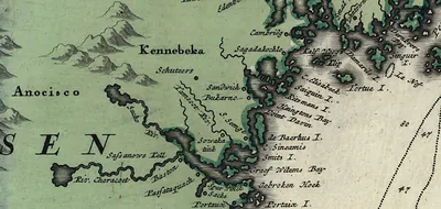
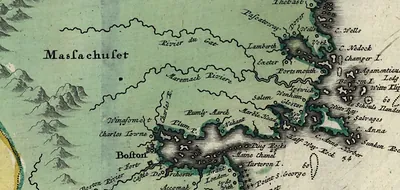
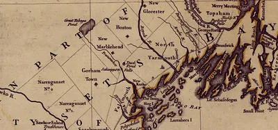
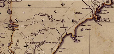
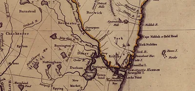
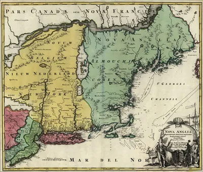
This rare antique map captures Antique map of New England coast with place names in remarkable detail. It is part of the Snapshots of the Past archive, gathered over 25 years of research.
Framed, it is ready for the wall; unframed, it is ready for the frame you choose. A conversation-starting piece for home, office, or as a meaningful gift. Free shipping in the lower 48 states. Snapshots of the Past, founded in 2001, has served tens of thousands of customers worldwide.
Antique map of New England coast with place names
Order a print
Thank you. Your order went through, and a receipt is on its way by email.
Secure checkout · SSL encryptedPowered by Stripe and PayPal
Free shipping in the lower 48 states. The checkout page shows the picture, size and price before you pay.
Its interest lies in the coastline itself, a chart of the New England shore with towns, harbors and headlands labeled along the water's edge. Coastal maps like this were practical tools for mariners, fishermen and merchants who relied on soundings and landmarks to find safe anchorage. Many of the names on such sheets record English settlement, borrowed from home towns and Old World places, and the outlines were often copied and revised from earlier surveys. Looking closely at the labels shows how Europeans claimed, named and understood the region during the colonial era.
| Original scan | 1,897 × 895 px · prints to 6 × 3 in at 300 dpi |
|---|---|
| Reference | New England 1700s Zoom 2 |
More from the New England collection
Snapshots of the Past helps heritage brands, museums, historians and storytellers tell stories with history: historic prints, image licensing and historical storytelling drawn from more than 25 years of research and curation.