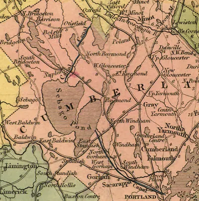
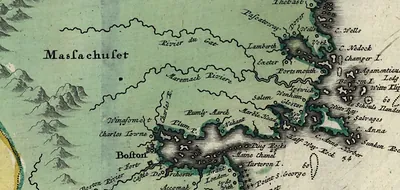
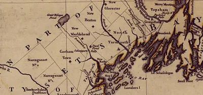
Hand-colored map of central Maine towns, roads and rivers – Antique Map Print

(Each image is professionally and digitally cleaned of artifacts such as color bars and extra borders prior to printing.)
Description
Hand-colored map of central Maine towns, roads and rivers comes to life in this antique map, reproduced from the original with every detail intact. It is part of the Snapshots of the Past archive, gathered over 25 years of research.
The framed print arrives ready to hang; the unframed option suits custom framing. It brings character to any room and makes a memorable gift. Free shipping in the lower 48 states. Snapshots of the Past, founded in 2001, has served tens of thousands of customers worldwide.
Hand-colored map of central Maine towns, roads and rivers
Order a print
Thank you. Your order went through, and a receipt is on its way by email.
Secure checkout · SSL encryptedPowered by Stripe and PayPal
Free shipping in the lower 48 states. The checkout page shows the picture, size and price before you pay.
Rather than a city portrait, this piece is a hand-colored map of towns, roads and rivers in central Maine, a region that was still being mapped and settled in the early nineteenth century. Maps of this kind were often colored by hand to tell apart counties, waterways and transport routes, which mattered to surveyors, land agents and travelers who relied on them to find their way through thinly settled country. Rivers such as the Kennebec and its tributaries shaped where towns grew, since mills and ferries clustered along the water, so the map records the geography that determined how the region developed. Look closely at the road lines and town names to see how a working document of the period doubled as a record of settlement.
| Original scan | 1,905 × 901 px · prints to 6 × 3 in at 300 dpi |
|---|---|
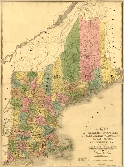
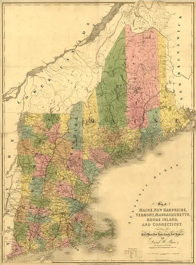
| Reference | New England 1839 1 |
More from the New England collection
Snapshots of the Past helps heritage brands, museums, historians and storytellers tell stories with history: historic prints, image licensing and historical storytelling drawn from more than 25 years of research and curation.