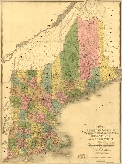
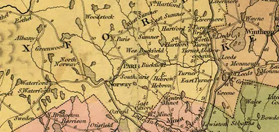
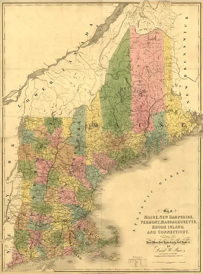
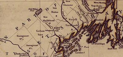
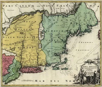
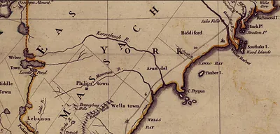
Map of Sebago Pond and Cumberland County, Maine – Vintage Map Wall Art

(Each image is professionally and digitally cleaned of artifacts such as color bars and extra borders prior to printing.)
Description
Few images capture their era like this antique map of Map of Sebago Pond and Cumberland County, Maine. It is part of the Snapshots of the Past archive, gathered over 25 years of research.
The framed print arrives ready to hang; the unframed option suits custom framing. Perfect for a home, office, library or classroom wall, and a gift with a story behind it. Free shipping in the lower 48 states. Snapshots of the Past has been bringing history to the wall since 2001, for tens of thousands of customers worldwide.
Map of Sebago Pond and Cumberland County, Maine
Order a print
Thank you. Your order went through, and a receipt is on its way by email.
Secure checkout · SSL encryptedPowered by Stripe and PayPal
Free shipping in the lower 48 states. The checkout page shows the picture, size and price before you pay.
Sebago Pond, the second-largest lake in Maine, is the focus of this map, which places it within the wider boundaries of Cumberland County in the state's southwestern corner. Maps of this kind were prized in the nineteenth century, when they were used by surveyors, land speculators, and travelers seeking routes to the lakes and rivers that drew early summer visitors. Look closely at how the township lines and roads are drawn, since they reveal how settlement was laid out across the region long before the lake became a popular resort destination.
| Original scan | 872 × 883 px |
|---|---|
| Reference | New England 1839 2 |
More from the New England collection
Snapshots of the Past helps heritage brands, museums, historians and storytellers tell stories with history: historic prints, image licensing and historical storytelling drawn from more than 25 years of research and curation.