Gateway National Recreation Area
27 historic pictures in the Gateway National Recreation Area collection, part of Landmarks. Each one can be ordered as a print or licensed, and the collection is a starting point for telling stories about the past.
Open the interactive boardGateway National Recreation Area takes its name from its location. Its pieces sit on both sides of the entrance to New York Harbor, the gateway that ships have used for centuries to reach one of the busiest ports in the world.
Congress created Gateway in 1972. It is made up of 3 separate areas: Sandy Hook in New Jersey, Jamaica Bay in Brooklyn and Queens, and a string of sites on Staten Island. It was one of the first national parks built inside a big city, meant to give city people beaches, marshes and open water within reach of a subway or a bus.
Staten Island is the focus of this board. For most of its history it was the rural part of New York, a place of farms, villages, oyster beds and summer homes, even after it became part of the city in 1898. For a long time the main way across was by ferry, and the Staten Island Ferry turns up in many pictures. Things changed fast after the Verrazzano-Narrows Bridge opened in 1964 and connected the island to Brooklyn by road.
The Gateway sites on Staten Island include Fort Wadsworth, which overlooks the Narrows, the tight passage between Staten Island and Brooklyn. There have been forts on that spot since colonial times, built to guard the harbor from attack by sea. Great Kills Park and Miller Field, once an Army airfield, add beaches and open land along the shore.
Across the harbor, Sandy Hook has the oldest working lighthouse in the United States, first lit in 1764. Jamaica Bay holds a large wildlife refuge, and Floyd Bennett Field, New York City's first municipal airport. When you look at harbor views from the Staten Island side, notice the shipping. In the early 1900s, the Narrows were crowded with steamships, sailing ships, tugs and ferries. Every one of them coming into New York passed right under the guns of the forts. That was the whole point of putting the forts there.
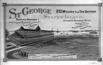 St George Staten Island 20 minutes from the Battery (N.Y. : The Hatch Lit)
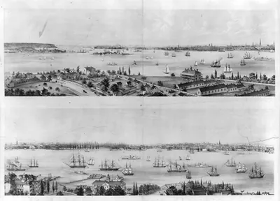 New York from Staten Island Brooklyn City Jersey City New York from Staten Island / sketch (New York : C.W. Burt)
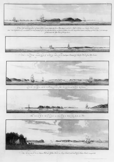 [Views of the coastline of New York, Long Island, Staten Island, and the lighthouse on San ([London] : Publish'd)
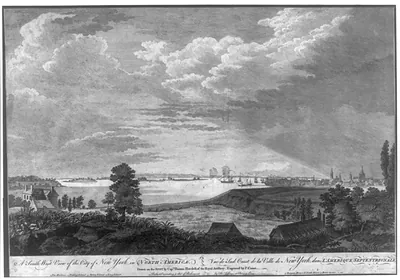 A south west view of the city of New York, in North America Vue de sud ouest de la ville d ([London] : Publish'd)
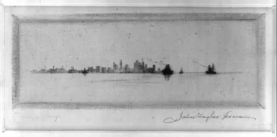 [New York from the Staten Island Ferry] ([1917])
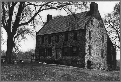 New York, Staten Island, Tottenville. Conference House" of Captain Christopher Billopp bui ([no date recorded on)
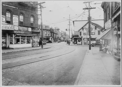 Port Richmond Square, Staten Island, New York City ([no date recorded on)
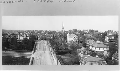 New Brighton, Staten Island, N.Y. [Bird's-eye view]: Looking west from St. George (c1905.)
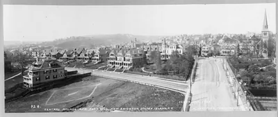 New Brighton, Staten Island, N.Y. [Bird's-eye view]: Central Avenue and Fort Hill (c1905.)
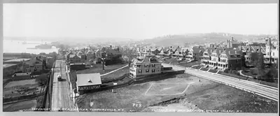 New Brighton, Staten Island, N.Y. [Bird's-eye view]: Central Ave. (c1905.)
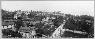 New Brighton, Staten Island, N.Y. [Bird's-eye view] (c1905.)
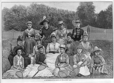 [Staten Island ladies lawn tennis club] (1887)
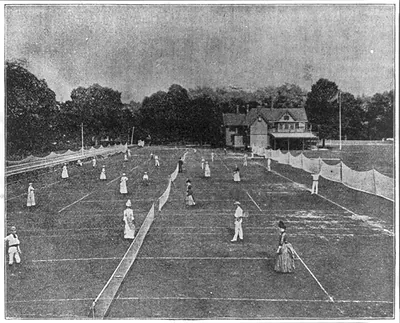 [Staten Island ladies lawn tennis club] (1887)
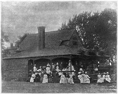 [Staten Island ladies lawn tennis club] (1887)
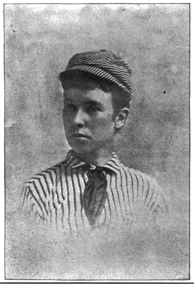 [Staten Island ladies lawn tennis club] (1887)
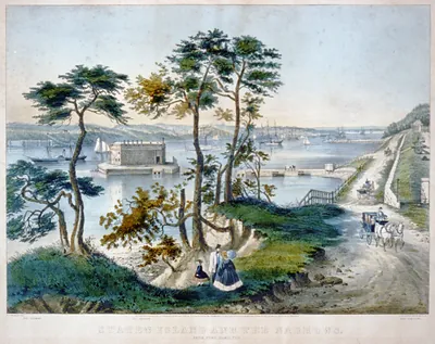 Staten Island and the Narrows: from Fort Hamilton (New York : Published)
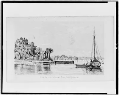 View on Staten Island - near Fort Richmond ([1880(?)])
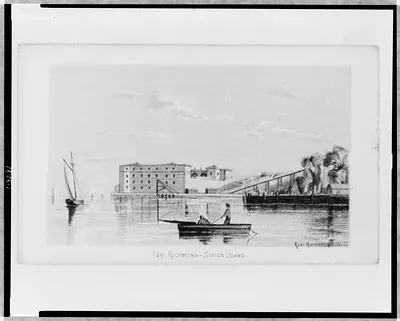 Fort Richmond - Staten Island ([1880(?)])
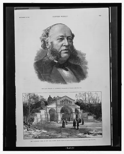 The late William H. Vanderbilt / T.A. Butler sc. ; photographed by Bogardus. The Vanderbil (1885 December 19.)
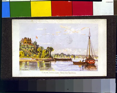 View on Staten Island - near Fort Richmond ([1880(?)])
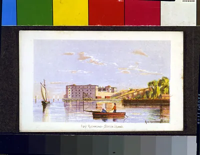 Fort Richmond - Staten Island ([1880(?)])
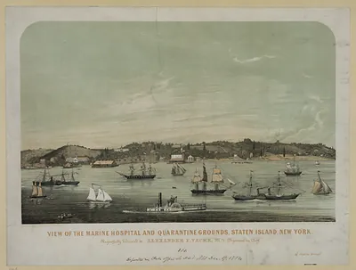 View of the Marine Hospital and Quarantine Grounds, Staten Island, New York
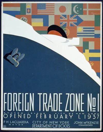 Foreign trade zone no. 1 Staten Island City of New York opened February 1 1937 / M. W (1937)
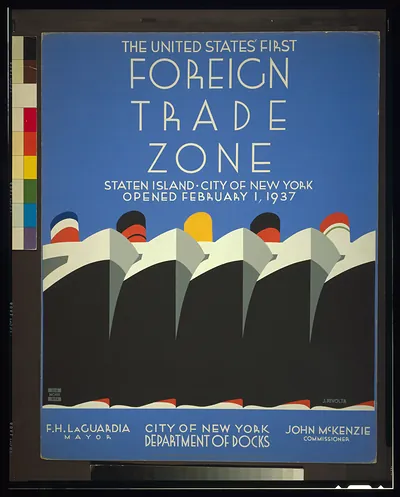 The United States first foreign trade zone Staten Island City of New York opened Febr (1937)
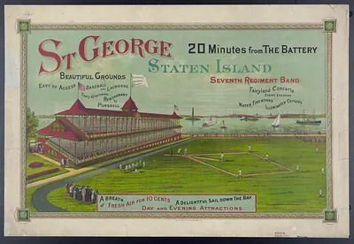 St George, Staten Island: 20 Minutes from The Battery, baseball grounds poster
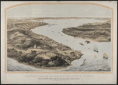 Panorama of the Harbor of New York, Staten Island and the Narrows
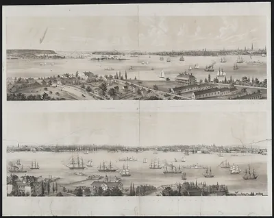 new york from staten island