North Carolina
31 historic pictures in the North Carolina collection, part of Cities. Each one can be ordered as a print or licensed, and the collection is a starting point for telling stories about the past.
Open the interactive boardOn December 17, 1903, on a sand hill near Kitty Hawk on the Outer Banks, Orville Wright flew a powered airplane for 12 seconds while his brother Wilbur ran alongside. The Wrights were bicycle makers from Dayton, Ohio. They picked North Carolina because the weather bureau told them the Outer Banks had strong, steady winds and soft sand to land on. A photograph of that first flight, taken by a local lifesaving station man using the Wrights' own camera, is one of the most famous pictures in American history.
The Outer Banks were known for other things first. Ships wrecked there so often that the waters off Cape Hatteras were called the Graveyard of the Atlantic, and lighthouses and lifesaving stations dotted the shore. The Cape Hatteras Lighthouse, with its black and white spiral, is the tallest brick lighthouse in the country.
The other end of the state is mountains. George Vanderbilt built Biltmore near Asheville in the 1890s, a French chateau of about 250 rooms, still the largest private house in America. He hired Frederick Law Olmsted to plan the grounds and brought in Gifford Pinchot to manage the forest, work that helped start professional forestry in the United States. The Blue Ridge Parkway, begun in 1935, later carried visitors along the crest.
Between the coast and the mountains, North Carolina was tobacco and textiles. Durham and Winston grew into tobacco cities, and the Duke family built a fortune on cigarettes. Cotton mills spread across the Piedmont, and Lewis Hine photographed child workers in them in the early 1900s. His pictures of small children tending spinning frames were made to change the law, and over time they helped do it.
In the coastal pictures, notice how empty the beaches are. Before bridges and paved roads reached the Outer Banks in the 1930s, the islands were mostly fishing villages, lifesaving crews and dunes. The beach towns came later.
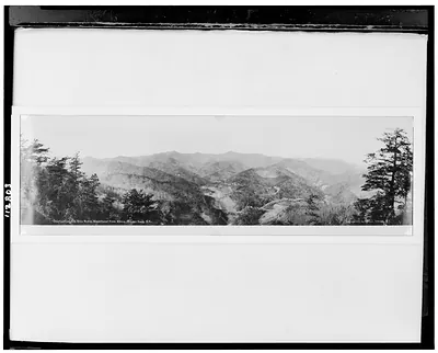 Overlooking the Blue Ridge Mountains from above Round Knob, N.C. (1911, c1912.)
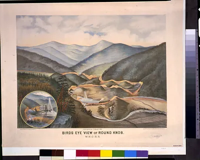 Bird's-eye view of Round Knob. W.N.C.R.R. / sketched by Horace Bradly; engd. & printed. by (c1884.)
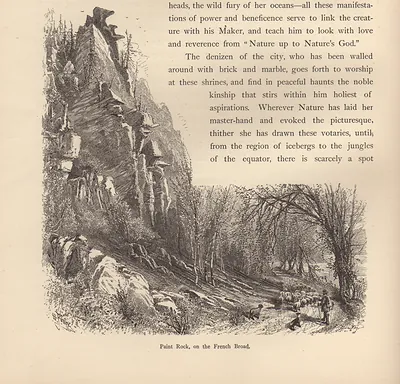 Paint Rock, on the French Broad
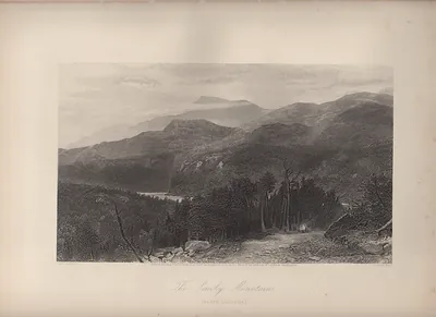 The Smoky Mountains, North Carolina
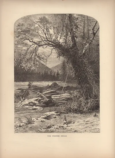 The French Broad
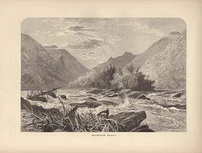 Mountain Island: rapids past a wooded island in a valley
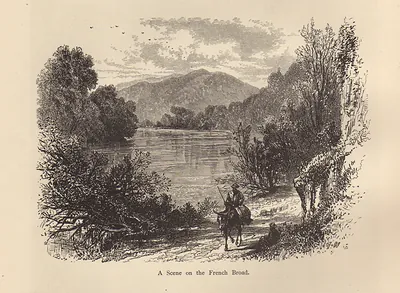 A Scene on the French Broad
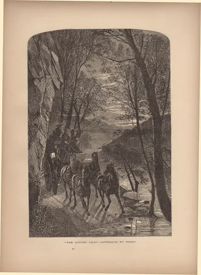 The Lovers' Leap—Approach by Night
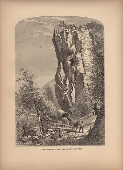 The Lovers' Leap, at Early Sunrise
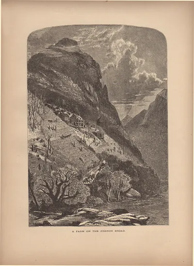 A Farm on the French Broad
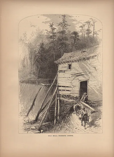 Old Mill - Reems's Creek
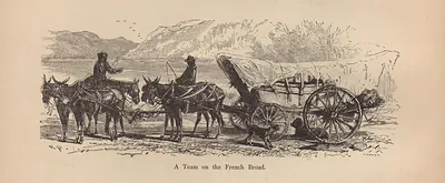 A Team on the French Broad
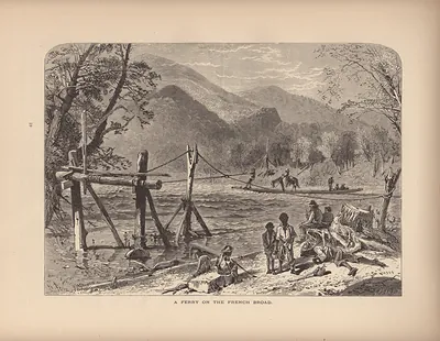 A Ferry on the French Broad
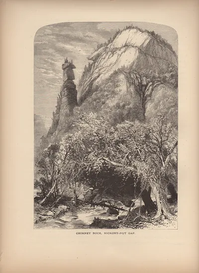 Chimney Rock, Hickory-Nut Gap
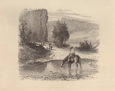 Horseman watering his horse at a rocky river ford
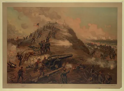 Capture of Fort Fisher, chromolithograph published by L. Prang & Co.
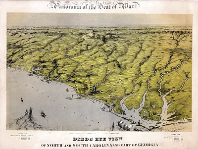 Panorama of the Seat of War: Birds Eye View of North and South Carolina and Part of Georgi
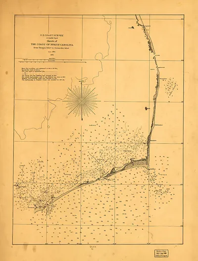 U.S. Coast Survey Sketch of the Coast of North Carolina, 1861
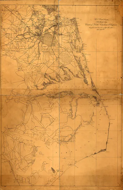 Map North Carolina Virginia
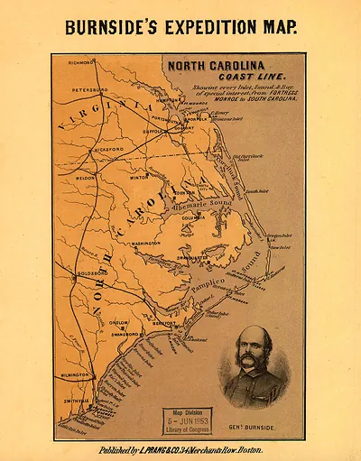 Burnside's Expedition Map: North Carolina Coast Line
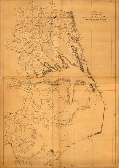 U.S. Coast Survey map, Coast of North Carolina and Virginia
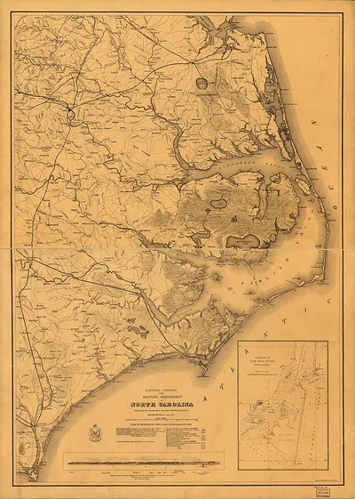 MAP North Carolina
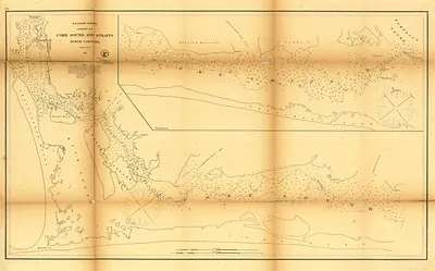 U.S. Coast Survey Map of Core Sound and Straits, North Carolina
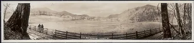 NC 1909 Indian reservation, Cherokee PHOTO (1909)
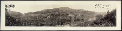 NC 1909 Indian School 1 Cherokee PHOTO (1909)
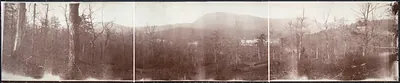 NC 1909 Toxaway Inn and mountains PHOTO (1909)
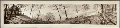 NC 1910 Eagles Nest Haywood Cty PHOTO (1910)
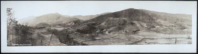 NC 1911 Eagles Nest from Plotts Creek PHOTO (1911)
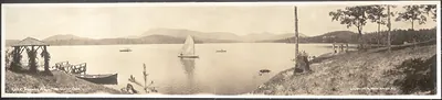 NC 1911 Lake Toxaway from Shelter Oaks PHOTO (1911)
 NC 1911 Lake Toxaway Hotel PHOTO (1911)
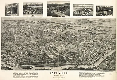 NC Asheville 1912 MAP (1912)