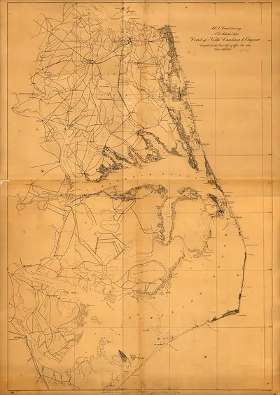
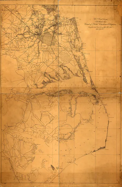
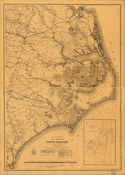
U.S. Coast Survey Sketch of the Coast of North Carolina, 1861 – Vintage Wall Art

(Each image is professionally and digitally cleaned of artifacts such as color bars and extra borders prior to printing.)
Description
Step back in time with U.S. Coast Survey Sketch of the Coast of North Carolina, 1861, a historic image rich in period detail. Drawn from the Snapshots of the Past archive, it is an authentic piece of documented history.
The framed print arrives ready to hang; the unframed option suits custom framing. It makes a striking addition to a living room, study or office, and a thoughtful gift. Free shipping in the lower 48 states. Since 2001, Snapshots of the Past has shipped historic prints to tens of thousands of customers around the world.
U.S. Coast Survey Sketch of the Coast of North Carolina, 1861
Order a print
Thank you. Your order went through, and a receipt is on its way by email.
Secure checkout · SSL encryptedPowered by Stripe and PayPal
Free shipping in the lower 48 states. The checkout page shows the picture, size and price before you pay.
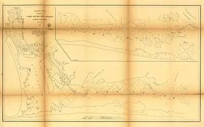
A coastal survey sketch from 1861 makes this item a working chart rather than a view of a town or a person, and that difference matters for how it should be read. The U.S. Coast Survey, founded in 1807 under Thomas Jefferson's administration, mapped the shoals, inlets, and harbors that ships depended on, and its North Carolina sheets were prized for the Outer Banks, a chain of barrier islands notorious for shifting sand and shipwrecks. Drawn in the same year that North Carolina seceded from the Union, the sketch captures a coastline about to become strategically contested, since Union forces would soon seize sections of it. Look closely at the soundings and depth notations, which reveal how surveyors measured a constantly changing shore.
| Original scan | 1,494 × 1,967 px · prints to 5 × 7 in at 300 dpi |
|---|---|
| Reference | 1861 MAP North Carolina |
More from the North Carolina collection
Snapshots of the Past helps heritage brands, museums, historians and storytellers tell stories with history: historic prints, image licensing and historical storytelling drawn from more than 25 years of research and curation.