Burnside's Expedition Map: North Carolina Coast Line – Vintage Map Wall Art

(Each image is professionally and digitally cleaned of artifacts such as color bars and extra borders prior to printing.)
Description
Step back in time with Burnside's Expedition Map: North Carolina Coast Line, an antique map rich in period detail. It is part of the Snapshots of the Past archive, gathered over 25 years of research.
Order it framed and ready to hang, or unframed to match a frame you already love. A fine choice for anyone who loves history, and a gift that gets noticed. Free shipping in the lower 48 states. Since 2001, Snapshots of the Past has shipped historic prints to tens of thousands of customers around the world.
Burnside's Expedition Map: North Carolina Coast Line
Order a print
Thank you. Your order went through, and a receipt is on its way by email.
Secure checkout · SSL encryptedPowered by Stripe and PayPal
Free shipping in the lower 48 states. The checkout page shows the picture, size and price before you pay.
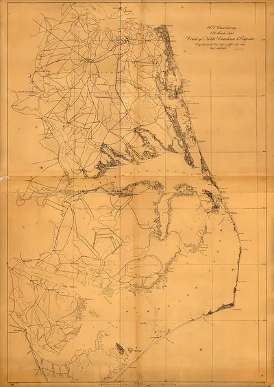
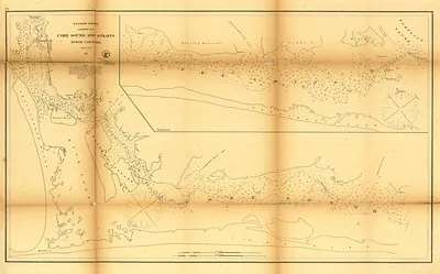
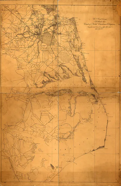
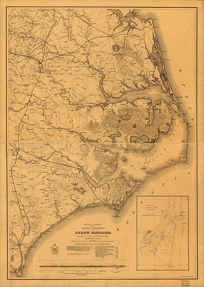
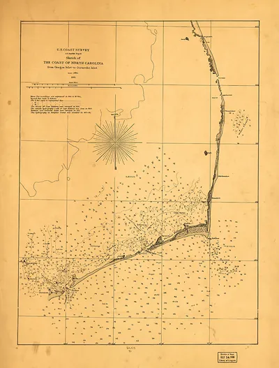
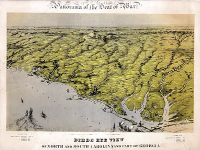
Few parts of the Confederacy's coast were as exposed as the sounds behind North Carolina's barrier islands, and this map shows the terrain Union forces had to navigate in 1861 and 1862. Ambrose Burnside led an amphibious force through shallow inlets and sounds, taking Hatteras Inlet, Roanoke Island, and New Bern. The campaign gave the Union a foothold on the state's coast for the rest of the war, and the map shows why shallow water and narrow channels shaped every move.
| Original scan | 2,184 × 2,791 px · prints to 7 × 9 in at 300 dpi |
|---|---|
| Reference | 1862 MAP North Carolina |
More from the North Carolina collection
Snapshots of the Past helps heritage brands, museums, historians and storytellers tell stories with history: historic prints, image licensing and historical storytelling drawn from more than 25 years of research and curation.