Map North Carolina Virginia – Historic Map Reproduction

(Each image is professionally and digitally cleaned of artifacts such as color bars and extra borders prior to printing.)
Description
This rare antique map captures Map North Carolina Virginia in remarkable detail. It is part of the Snapshots of the Past archive, gathered over 25 years of research.
Framed, it is ready for the wall; unframed, it is ready for the frame you choose. A fine choice for anyone who loves history, and a gift that gets noticed. Free shipping in the lower 48 states. Since 2001, Snapshots of the Past has shipped historic prints to tens of thousands of customers around the world.
Map North Carolina Virginia
Order a print
Thank you. Your order went through, and a receipt is on its way by email.
Secure checkout · SSL encryptedPowered by Stripe and PayPal
Free shipping in the lower 48 states. The checkout page shows the picture, size and price before you pay.
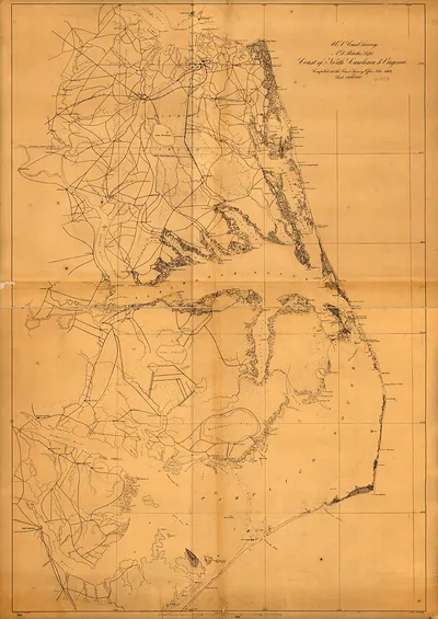
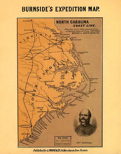
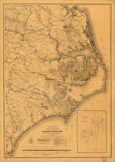
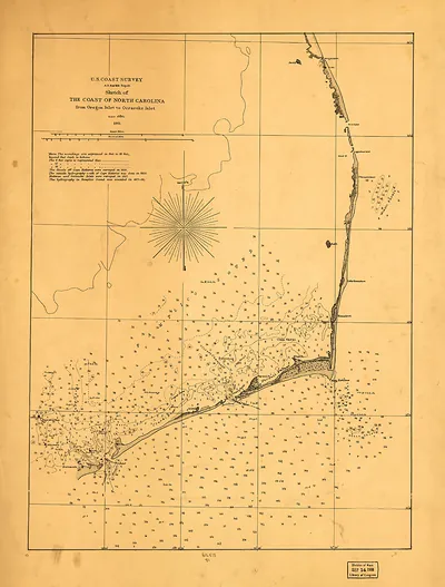
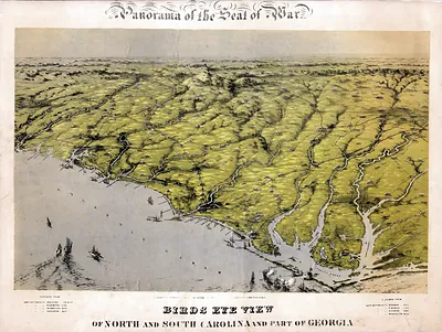
This map covers both North Carolina and Virginia on a single sheet, so it shows the colonial border between the two as well as the interior of each colony. Maps of this kind were often drawn to settle land claims, guide travelers along rivers and roads, and record where settlement had reached. The boundary between the Carolinas and Virginia was a matter of ongoing survey work in the 1700s, and a map like this one reflects how uncertain the interior was to European cartographers. Notice how the coastline and major rivers are drawn with more confidence than the western lands, which were still largely unknown.
| Original scan | 2,960 × 4,554 px · prints to 10 × 15 in at 300 dpi |
|---|---|
| Reference | 1862 Map North Carolina Virginia |
More from the North Carolina collection
Snapshots of the Past helps heritage brands, museums, historians and storytellers tell stories with history: historic prints, image licensing and historical storytelling drawn from more than 25 years of research and curation.