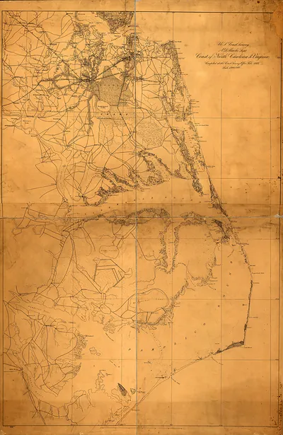
U.S. Coast Survey map, Coast of North Carolina and Virginia – Vintage Map Wall Art

(Each image is professionally and digitally cleaned of artifacts such as color bars and extra borders prior to printing.)
Description
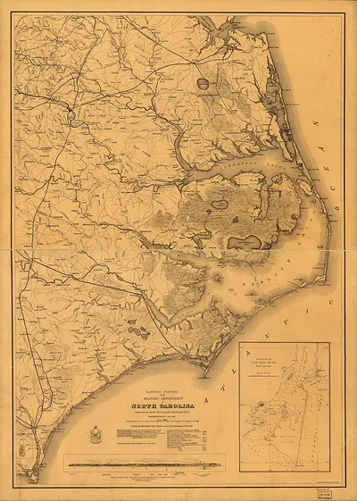
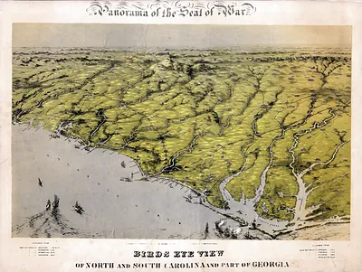
A window into the past: U.S. Coast Survey map, Coast of North Carolina and Virginia, preserved in this antique map. It is part of the Snapshots of the Past archive, gathered over 25 years of research.
Order it framed and ready to hang, or unframed to match a frame you already love. Perfect for a home, office, library or classroom wall, and a gift with a story behind it. Free shipping in the lower 48 states. Since 2001, Snapshots of the Past has shipped historic prints to tens of thousands of customers around the world.
U.S. Coast Survey map, Coast of North Carolina and Virginia
Order a print
Thank you. Your order went through, and a receipt is on its way by email.
Secure checkout · SSL encryptedPowered by Stripe and PayPal
Free shipping in the lower 48 states. The checkout page shows the picture, size and price before you pay.
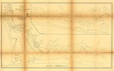
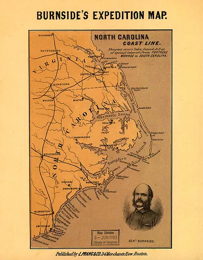
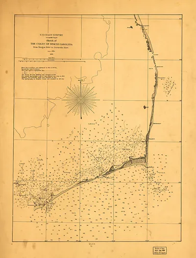
This chart covers the low, shifting barrier islands of the North Carolina coast and the Virginia shore to the north, a stretch that mariners long dreaded for its shoals and sudden storms. The U.S. Coast Survey, founded in 1807 under Ferdinand Hassler, produced such charts to make the Atlantic approaches safer for commercial and naval shipping. Notice how the soundings, depth markings and shoal outlines around Cape Hatteras and Diamond Shoals dominate the sheet, reflecting why the waters off the Outer Banks earned the nickname "Graveyard of the Atlantic.
| Original scan | 3,060 × 4,323 px · prints to 10 × 14 in at 300 dpi |
|---|---|
| Reference | 1862a Map North Carolina Virginia |
More from the North Carolina collection
Snapshots of the Past helps heritage brands, museums, historians and storytellers tell stories with history: historic prints, image licensing and historical storytelling drawn from more than 25 years of research and curation.