Great Smoky Mountains
28 historic pictures in the Great Smoky Mountains collection, part of Landmarks. Each one can be ordered as a print or licensed, and the collection is a starting point for telling stories about the past.
Open the interactive boardGreat Smoky Mountains National Park was not carved from empty land. When it was created, the mountains were home to thousands of people, and much of the forest belonged to timber companies. The park had to be bought, tract by tract. The Smokies run along the border between Tennessee and North Carolina. They are among the oldest mountains on earth, worn down and rounded over millions of years. The blue haze that gives them their name comes from the forest itself. The trees give off natural compounds that hang in the humid air.
For generations, families lived in the coves and hollows, farming small plots, raising cattle and hogs, and building their own cabins, barns and mills. Cades Cove in Tennessee was one of the largest of these communities. Around 1900, logging companies moved in with railroads and sawmills, and they cut much of the old forest within a few decades.
People in both states began pushing for a national park in the 1920s. Since the federal government did not buy land for parks then, the money had to be raised. Schoolchildren gave pennies, the 2 states put up funds, and John D. Rockefeller Jr. gave a large gift in his mother's name. The park was established in 1934, and Franklin Roosevelt dedicated it at Newfound Gap in 1940. Families were moved out, some willingly and some not.
Photographers helped make the case. George Masa, a Japanese-born photographer living in Asheville, spent years hiking and photographing the high country, and his pictures were used to show what was worth saving. Writers and mapmakers did the same.
Pictures of the Smokies tend to show 2 worlds. One is the high country of peaks, ridges and clouds. The other is the life in the coves, with log cabins, churches, mills and split-rail fences. When you look at a farm picture, notice how open the land is. Many of those fields have since grown back into forest, and the cabins left standing now sit in the woods.
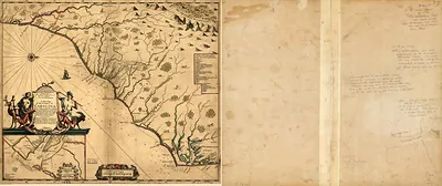 np000146 A new map of the country of Carolina. 1682
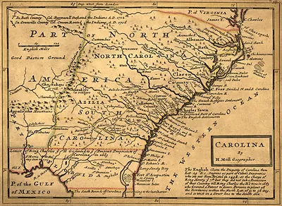 Carolina, by H. Moll Geographer
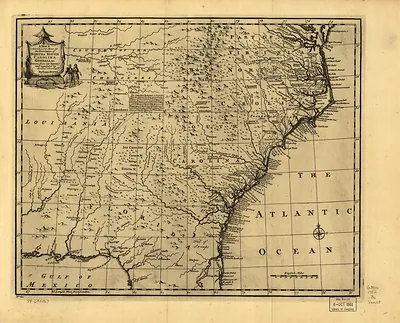 np000148 A new & accurate map of the provinces of North & South Carolina, Georgia 1752
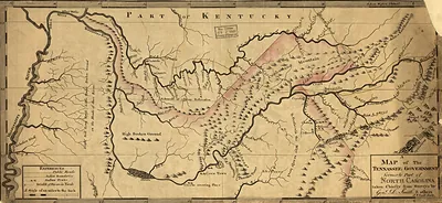 np000149 A map of the Tennessee government, formerly part of North Carolina. 1795
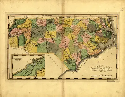 North Carolina, hand-colored map with Western Parts inset (1814)
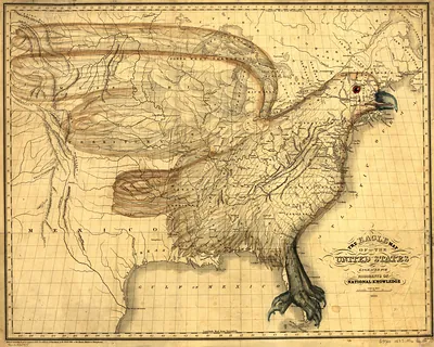 np000151 The eagle map of the United States 1832-3
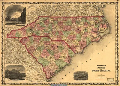 Johnson's North and South Carolina map (1861)
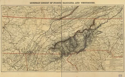 np000153 Mountain region of North Carolina and Tennessee (1864)
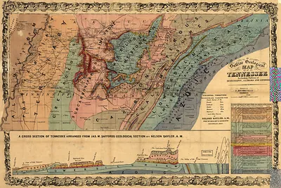 np000154 An outline geological map of Tennessee, including portions of Mississippi, Alabam (1866)
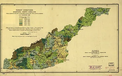 Forest Conditions Western North Carolina (1909)
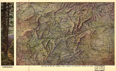 The Land of the Sky: Western North Carolina, Its Mountains, Streams and Lakes
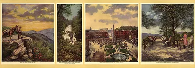 Four color views of Western North Carolina scenery, with printed captions
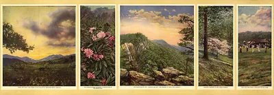 Five painted views of Western North Carolina mountain scenery
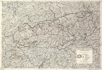 Great Smoky Mountains National Park map (1979)
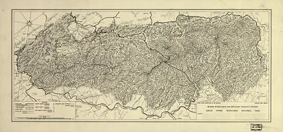 Great Smoky Mountains National Park relief map (1935)
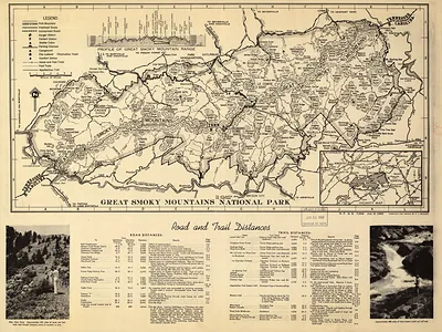 Map of Great Smoky Mountains National Park with road and trail distances (1940)
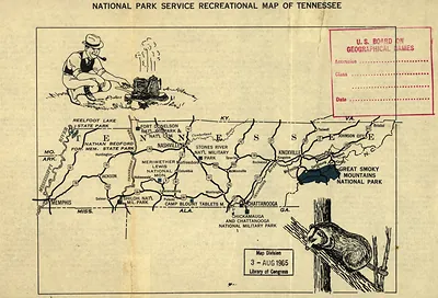 np000245 National Park Service recreational map of Tennessee. 195
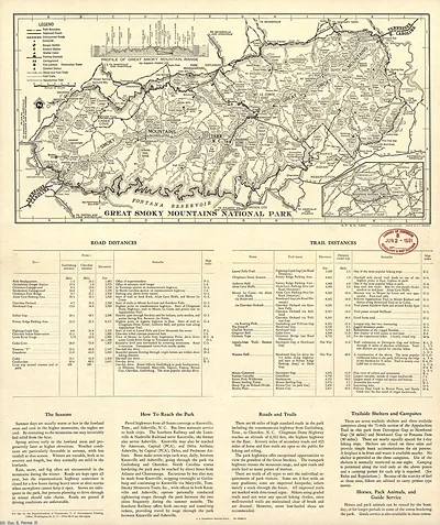 Map of Great Smoky Mountains National Park with road and trail distances (1951)
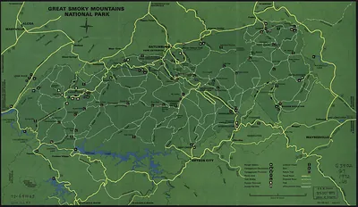 Great Smoky Mountains National Park map
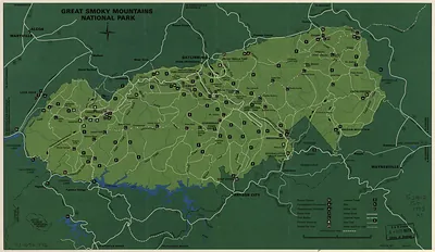 Great Smoky Mountains National Park map (1973)
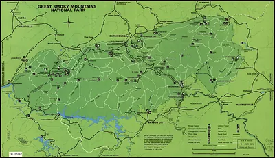 Great Smoky Mountains National Park map (1978)
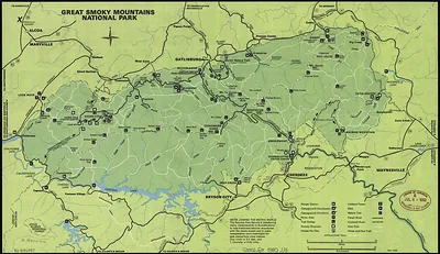 Great Smoky Mountains National Park map, 1980 (1980)
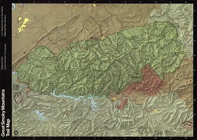 np000251 Great Smoky Mountains National Park, (1981)
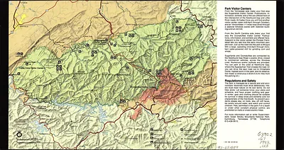 Great Smoky Mountains National Park visitor map, 1982 (1982)
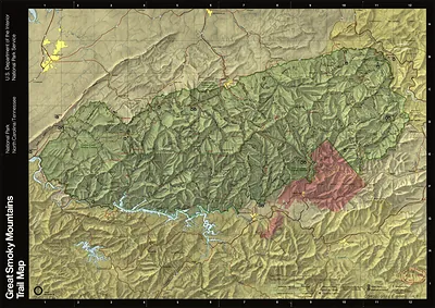 Great Smoky Mountains National Park trail map (1988)
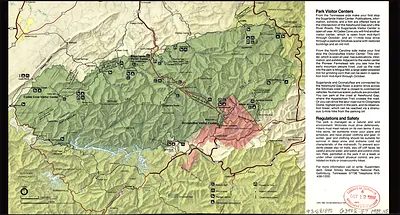 Great Smoky Mountains National Park visitor map (1989)
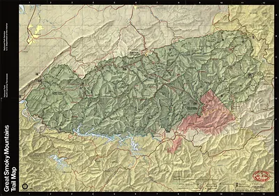 Great Smoky Mountains Trail Map (1990)
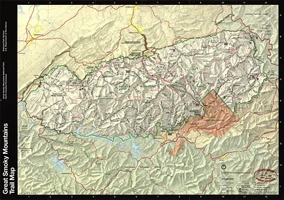 Great Smoky Mountains National Park Trail Map (1997)