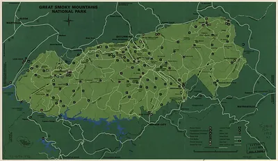
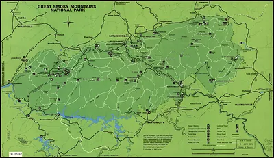
Great Smoky Mountains National Park map – Antique Wall Map

(Each image is professionally and digitally cleaned of artifacts such as color bars and extra borders prior to printing.)
Description
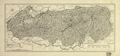
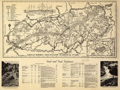
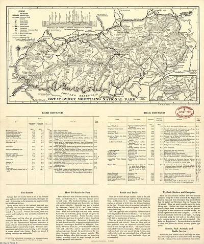
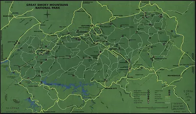
Great Smoky Mountains National Park map comes to life in this antique map, reproduced from the original with every detail intact. Drawn from the Snapshots of the Past archive, it is an authentic piece of documented history.
The framed print arrives ready to hang; the unframed option suits custom framing. It makes a striking addition to a living room, study or office, and a thoughtful gift. Free shipping in the lower 48 states. Since 2001, Snapshots of the Past has shipped historic prints to tens of thousands of customers around the world.
Great Smoky Mountains National Park map
Order a print
Thank you. Your order went through, and a receipt is on its way by email.
Secure checkout · SSL encryptedPowered by Stripe and PayPal
Free shipping in the lower 48 states. The checkout page shows the picture, size and price before you pay.
Rather than a scenic view, this item is a map of the park itself, showing how the Great Smoky Mountains National Park spreads across the Tennessee and North Carolina line. Congress authorized the park in 1934, but land had to be bought from many private owners, and some mountain communities were cleared before it opened. By 1979 the park was already one of the most visited in the country, and the map shows the trails, roads, and backcountry that drew those visitors into the range's wooded ridges.
| Created / published | 1979 |
|---|---|
| Original scan | 8,685 × 5,974 px · prints to 29 × 20 in at 300 dpi |
| Reference | np000183 Great Smoky Mountains National Park. 1979 |
More from the Great Smoky Mountains collection
Snapshots of the Past helps heritage brands, museums, historians and storytellers tell stories with history: historic prints, image licensing and historical storytelling drawn from more than 25 years of research and curation.