Great Smoky Mountains National Park map – Antique Map Print

(Each image is professionally and digitally cleaned of artifacts such as color bars and extra borders prior to printing.)
Description
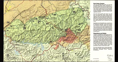
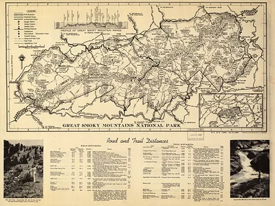
Step back in time with Great Smoky Mountains National Park map, an antique map rich in period detail. Drawn from the Snapshots of the Past archive, it is an authentic piece of documented history.
The framed print arrives ready to hang; the unframed option suits custom framing. A conversation-starting piece for home, office, or as a meaningful gift. Free shipping in the lower 48 states. Snapshots of the Past, founded in 2001, has served tens of thousands of customers worldwide.
Great Smoky Mountains National Park map
Order a print
Thank you. Your order went through, and a receipt is on its way by email.
Secure checkout · SSL encryptedPowered by Stripe and PayPal
Free shipping in the lower 48 states. The checkout page shows the picture, size and price before you pay.
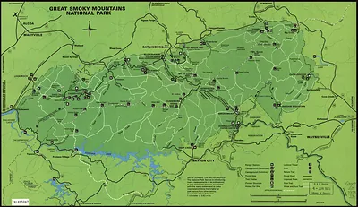
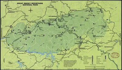
This 1973 map shows the entire Great Smoky Mountains National Park, a single sheet that lays out the park's boundary along the Tennessee and North Carolina state line. Congress authorized the park in 1934, but assembling its land took years, as the federal government bought out many private landholders and the region's mountain communities were displaced. Maps like this one helped visitors find their way along the trails, roads and high ridges that the park protects, including the Appalachian Trail along the crest.
| Created / published | 1973 |
|---|---|
| Original scan | 5,962 × 3,452 px · prints to 20 × 12 in at 300 dpi |
| Reference | np000248 Great Smoky Mountains National Park. 1973 |
More from the Great Smoky Mountains collection
Snapshots of the Past helps heritage brands, museums, historians and storytellers tell stories with history: historic prints, image licensing and historical storytelling drawn from more than 25 years of research and curation.