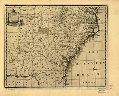
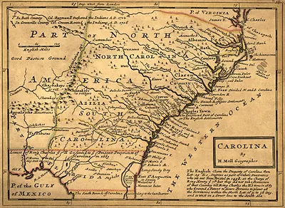
np000146 A new map of the country of Carolina. 1682 – Antique Map Print

(Each image is professionally and digitally cleaned of artifacts such as color bars and extra borders prior to printing.)
Description
A window into the past: np000146 A new map of the country of Carolina. 1682, preserved in this antique map. Drawn from the Snapshots of the Past archive, it is an authentic piece of documented history.
Choose the framed print, ready to hang the day it arrives, or the unframed print for a frame of your own. Perfect for a home, office, library or classroom wall, and a gift with a story behind it. Free shipping in the lower 48 states. Snapshots of the Past, founded in 2001, has served tens of thousands of customers worldwide.
np000146 A new map of the country of Carolina. 1682
Order a print
Thank you. Your order went through, and a receipt is on its way by email.
Secure checkout · SSL encryptedPowered by Stripe and PayPal
Free shipping in the lower 48 states. The checkout page shows the picture, size and price before you pay.
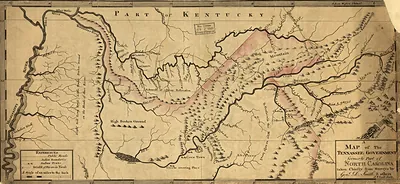
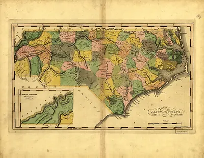
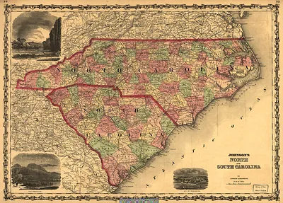
This is a 1682 map titled *A New Map of the Country of Carolina*, made when the English colony was still young. King Charles II had granted the territory in 1663 to eight Lords Proprietors, and maps of the period mixed surveyed coastline with a great deal of guesswork about the interior. The Great Smoky Mountains lie far inland, so they may appear only as vague ranges, if at all, which reflects how little European settlers had explored there. Its value today lies in showing what colonial officials and investors believed the land contained.
| Original scan | 13,870 × 5,824 px · prints to 46 × 19 in at 300 dpi |
|---|---|
| Reference | np000146 A new map of the country of Carolina. 1682 |
More from the Great Smoky Mountains collection
Snapshots of the Past helps heritage brands, museums, historians and storytellers tell stories with history: historic prints, image licensing and historical storytelling drawn from more than 25 years of research and curation.