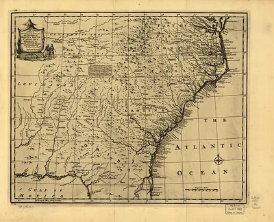
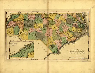
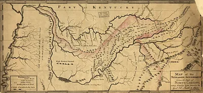
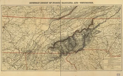
Johnson's North and South Carolina map – Historic Map Reproduction

(Each image is professionally and digitally cleaned of artifacts such as color bars and extra borders prior to printing.)
Description
This antique map of Johnson's North and South Carolina map brings a moment of history to your wall. It is part of the Snapshots of the Past archive, gathered over 25 years of research.
Choose the framed print, ready to hang the day it arrives, or the unframed print for a frame of your own. It brings character to any room and makes a memorable gift. Free shipping in the lower 48 states. Snapshots of the Past has been bringing history to the wall since 2001, for tens of thousands of customers worldwide.
Johnson's North and South Carolina map
Order a print
Thank you. Your order went through, and a receipt is on its way by email.
Secure checkout · SSL encryptedPowered by Stripe and PayPal
Free shipping in the lower 48 states. The checkout page shows the picture, size and price before you pay.
Drawn in 1861, as the Carolinas were leaving the Union, this Johnson map shows a region whose western edge rises into the Great Smoky Mountains, the range that forms much of the North Carolina and Tennessee border. Maps of this period were often assembled from older surveys and rough reports, so the high country appears in far less detail than the coast and the river valleys. It is worth reading for its political boundaries and the routes between towns, as well as for what it reveals about how little of the mountain interior was mapped with precision at the time.
| Created / published | 1861 |
|---|---|
| Original scan | 7,296 × 5,236 px · prints to 24 × 17 in at 300 dpi |
| Reference | np000152 Johnson's North and South Carolina. 1861 |
More from the Great Smoky Mountains collection
Snapshots of the Past helps heritage brands, museums, historians and storytellers tell stories with history: historic prints, image licensing and historical storytelling drawn from more than 25 years of research and curation.