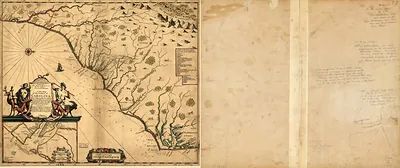
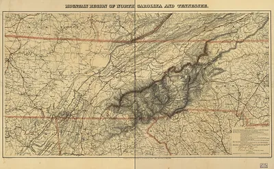
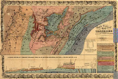
np000148 A new & accurate map of the provinces of North & South Carolina, Georgia 1752 – Historic Map Reproduction

(Each image is professionally and digitally cleaned of artifacts such as color bars and extra borders prior to printing.)
Description
Few images capture their era like this antique map of np000148 A new & accurate map of the provinces of North & South Carolina, Georgia 1752. Drawn from the Snapshots of the Past archive, it is an authentic piece of documented history.
Order it framed and ready to hang, or unframed to match a frame you already love. A fine choice for anyone who loves history, and a gift that gets noticed. Free shipping in the lower 48 states. Snapshots of the Past, founded in 2001, has served tens of thousands of customers worldwide.
np000148 A new & accurate map of the provinces of North & South Carolina, Georgia 1752
Order a print
Thank you. Your order went through, and a receipt is on its way by email.
Secure checkout · SSL encryptedPowered by Stripe and PayPal
Free shipping in the lower 48 states. The checkout page shows the picture, size and price before you pay.
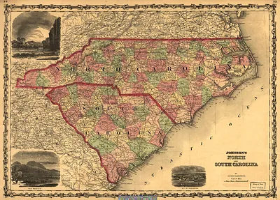
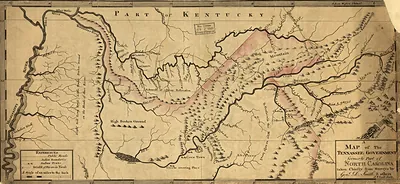
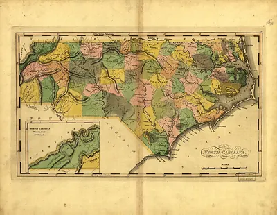
This 1752 map shows North Carolina, South Carolina, and Georgia as separate provinces, a useful reminder that the three colonies were still being sorted into their final boundaries. The title's promise of a "new & accurate" survey was a common sales claim, since mapmakers of the period often relied on earlier surveys and on reports from traders and explorers. The southern Appalachians, which later became the Great Smoky Mountains, lay far inland and were known to colonial mapmakers only in rough outline. The mountains came under national park protection nearly two centuries after this map was drawn.
| Original scan | 5,867 × 4,734 px · prints to 20 × 16 in at 300 dpi |
|---|---|
| Reference | np000148 A new & accurate map of the provinces of North & South Carolina, Georgia 1752 |
More from the Great Smoky Mountains collection
Snapshots of the Past helps heritage brands, museums, historians and storytellers tell stories with history: historic prints, image licensing and historical storytelling drawn from more than 25 years of research and curation.