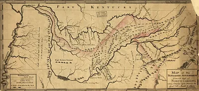
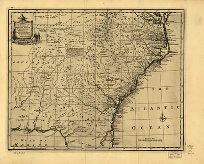
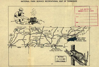
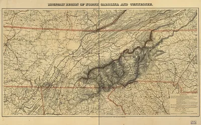
np000154 An outline geological map of Tennessee, including portions of Mississippi, Alabama, and Georgia – Vintage Map Wall Art

(Each image is professionally and digitally cleaned of artifacts such as color bars and extra borders prior to printing.)
Description
Np000154 An outline geological map of Tennessee, including portions of Mississippi, Alabama, and Georgia comes to life in this antique map, reproduced from the original with every detail intact. It is part of the Snapshots of the Past archive, gathered over 25 years of research.
Choose the framed print, ready to hang the day it arrives, or the unframed print for a frame of your own. It makes a striking addition to a living room, study or office, and a thoughtful gift. Free shipping in the lower 48 states. Since 2001, Snapshots of the Past has shipped historic prints to tens of thousands of customers around the world.
np000154 An outline geological map of Tennessee, including portions of Mississippi, Alabama, and Georgia
Order a print
Thank you. Your order went through, and a receipt is on its way by email.
Secure checkout · SSL encryptedPowered by Stripe and PayPal
Free shipping in the lower 48 states. The checkout page shows the picture, size and price before you pay.
This 1866 outline map charts the geology of Tennessee and sections of Mississippi, Alabama, and Georgia, so it covers far more ground than the mountains that give the gallery board its name. Tennessee's early state geological work, begun in the 1830s, produced maps like this one to show where coal, iron, and limestone lay beneath the surface. Its outline style reflects the period's practice of drawing rock formations onto a plain regional base, and the Appalachian rocks along the Tennessee-North Carolina line show how the Smokies fit into the state's larger geological structure.
| Created / published | 1866 |
|---|---|
| Original scan | 8,534 × 5,697 px · prints to 28 × 19 in at 300 dpi |
| Reference | np000154 An outline geological map of Tennessee, including portions of Mississippi, Alabama, and Georgia. 1866 |
More from the Great Smoky Mountains collection
Snapshots of the Past helps heritage brands, museums, historians and storytellers tell stories with history: historic prints, image licensing and historical storytelling drawn from more than 25 years of research and curation.