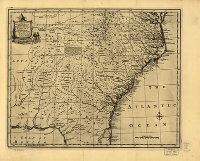
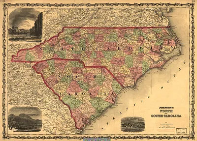
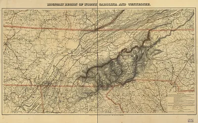
Carolina, by H. Moll Geographer – Historic Print

(Each image is professionally and digitally cleaned of artifacts such as color bars and extra borders prior to printing.)
Description
This rare historic image captures Carolina, by H. Moll Geographer in remarkable detail. It is part of the Snapshots of the Past archive, gathered over 25 years of research.
Order it framed and ready to hang, or unframed to match a frame you already love. A conversation-starting piece for home, office, or as a meaningful gift. Free shipping in the lower 48 states. Snapshots of the Past has been bringing history to the wall since 2001, for tens of thousands of customers worldwide.
Carolina, by H. Moll Geographer
Order a print
Thank you. Your order went through, and a receipt is on its way by email.
Secure checkout · SSL encryptedPowered by Stripe and PayPal
Free shipping in the lower 48 states. The checkout page shows the picture, size and price before you pay.
Herman Moll, a London map engraver who styled himself "geographer" on his title pages, produced this map of Carolina for an English readership eager for news of its colonies. Its western edge is where the Great Smoky Mountains would lie, though the range appears only as a rough band of ridges, sketched from traders' reports rather than systematic surveys. Maps like this show how little of the interior Europeans actually knew at the time, and they are worth studying for their place names and boundary claims as much as for their outlines.
| Original scan | 3,315 × 2,417 px · prints to 11 × 8 in at 300 dpi |
|---|---|
| Reference | np000147 Carolina. 1732 |
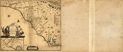
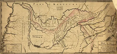
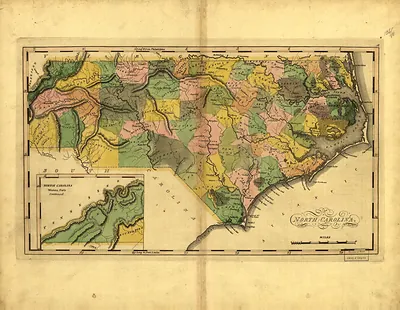
More from the Great Smoky Mountains collection
Snapshots of the Past helps heritage brands, museums, historians and storytellers tell stories with history: historic prints, image licensing and historical storytelling drawn from more than 25 years of research and curation.