Great Smoky Mountains Trail Map – Historic Map Reproduction

(Each image is professionally and digitally cleaned of artifacts such as color bars and extra borders prior to printing.)
Description
Few images capture their era like this antique map of Great Smoky Mountains Trail Map. It comes from the Snapshots of the Past collection, curated over 25 years for its historical value.
The framed print arrives ready to hang; the unframed option suits custom framing. It brings character to any room and makes a memorable gift. Free shipping in the lower 48 states. Snapshots of the Past, founded in 2001, has served tens of thousands of customers worldwide.
Great Smoky Mountains Trail Map
Order a print
Thank you. Your order went through, and a receipt is on its way by email.
Secure checkout · SSL encryptedPowered by Stripe and PayPal
Free shipping in the lower 48 states. The checkout page shows the picture, size and price before you pay.
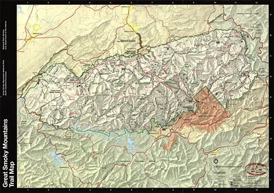
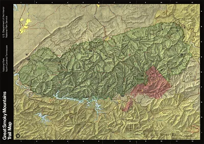
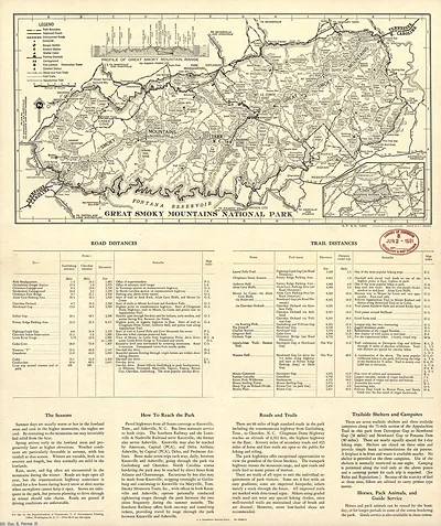
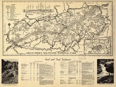
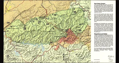
Rather than a view of the land, this 1990 trail map charts the network of paths crossing Great Smoky Mountains National Park, which straddles the North Carolina and Tennessee border. Congress authorized the park in 1934, and it was formally dedicated in 1940, protecting some of the oldest mountains in the Appalachians. The park maintains roughly 800 miles of trails, and maps like this one helped hikers plan routes to backcountry campsites, waterfalls, and the crest of the Appalachian Trail, which follows the ridgeline through the park. Notice how the symbols for elevation and trail junctions do the work that scenery does in other pictures.
| Created / published | 1990 |
|---|---|
| Original scan | 7,096 × 4,986 px · prints to 24 × 17 in at 300 dpi |
| Reference | np000255 Great Smoky Mountains National Park, 1990 |
More from the Great Smoky Mountains collection
Snapshots of the Past helps heritage brands, museums, historians and storytellers tell stories with history: historic prints, image licensing and historical storytelling drawn from more than 25 years of research and curation.