Across America
33 historic pictures in the Across America collection, in 2 sections, part of Cities. Each one can be ordered as a print or licensed, and the collection is a starting point for telling stories about the past.
Open the interactive boardMost American towns were photographed the same way, and for the same reasons. Around 1900 a town that wanted to be taken seriously needed a few things to show off. A courthouse with a dome or a clock tower. A main street with brick blocks and electric streetcars. A railroad depot, a bank, a high school and a public park with a bandstand. Photographers and postcard publishers made a living recording exactly those things.
The pictures in a board like this one come from that habit. Commercial firms such as the Detroit Publishing Company sent photographers around the country making views of streets, hotels and public buildings to sell as prints and postcards. The postcard craze of the early 1900s spread those views by the millions. Even small towns had local photographers who made panoramic pictures of a street parade or a new factory.
Bird's-eye view maps are another source. From the 1860s into the early 1900s, artists drew whole towns as if seen from a hot air balloon, every house, church and smokestack in place. They were sold door to door by subscription, partly as civic boosterism. Many towns were drawn this way at least once.
There is a section on Columbus here. The name says something about how Americans thought about their past. Towns in Ohio, Georgia, Indiana, Mississippi and elsewhere took the explorer's name in the 1800s, and the 400th anniversary of his voyage in 1892 brought a wave of celebrations, statues and parades across the country.
The thing to notice in pictures of ordinary towns is how alike they look, and then how they differ. The same storefront cornices, cast-iron columns and plate-glass windows were sold from catalogs and shipped by rail, so Main Street in Kansas can look a lot like Main Street in Pennsylvania. The differences are in the details. Look at what the stores are selling, what people are wearing, whether the street is paved, and whether there is a horse or a car at the curb.
Across America
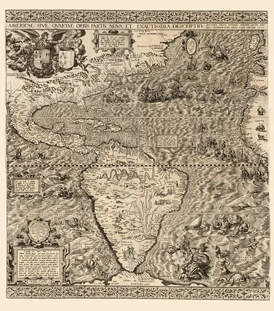 Map of the Americas with Latin title
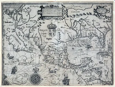 Old map of Florida, Cuba and the Sinus Mexicanus
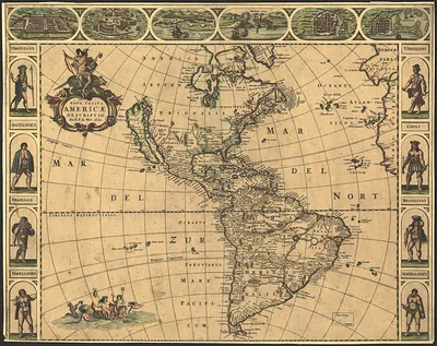 Nova Totius Americae Descriptio: 1660 map of the Americas
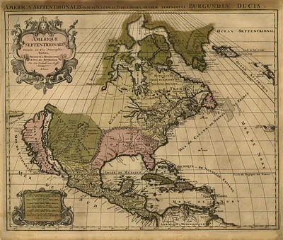 Amerique Septentrionale divisée en ses principales parties
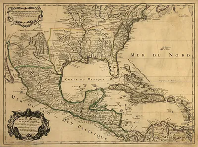 Carte du Mexique et de la Floride, 1703 map
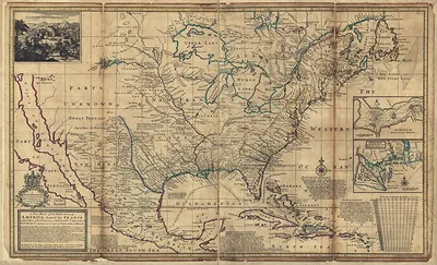 Map of North America claimed by France
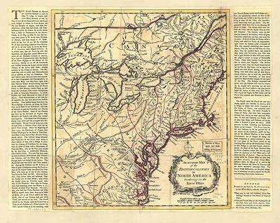 An Accurate Map of the British Colonies in North America
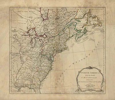 North America from the French of Mr. D'Anville, Improved
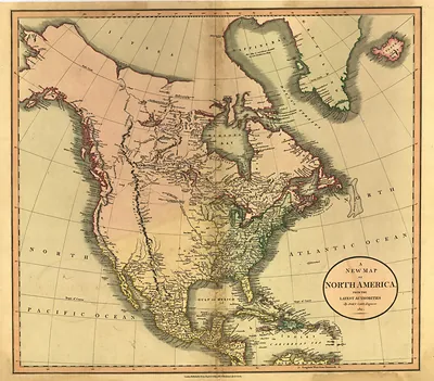 A New Map of North America from the Latest Authorities
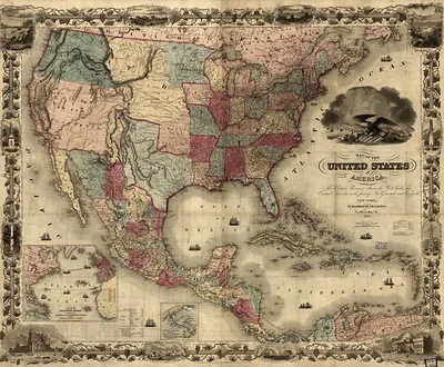 Map of the United States of America
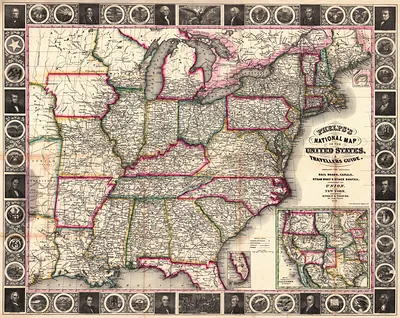 Phelps's National Map of the United States and Travellers Guide
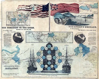 Telegraph Chart of America & Europe
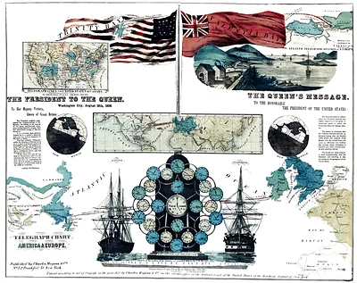 Telegraph Chart of America & Europe
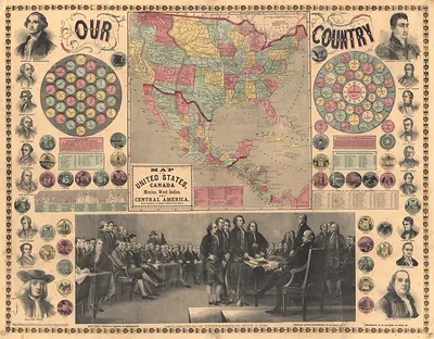 Our Country: Map of the United States, Canada, Mexico and Central America
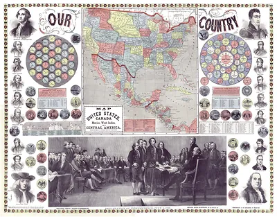 Our Country: map of United States, Canada and Central America
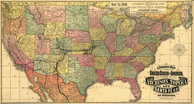 A Correct Map of the United States of America, Showing the Atchison, Topeka and Santa Fe R
 Picturesque America book cover with gold embossed lettering
 Marbled paper with maroon, pink and blue swirls
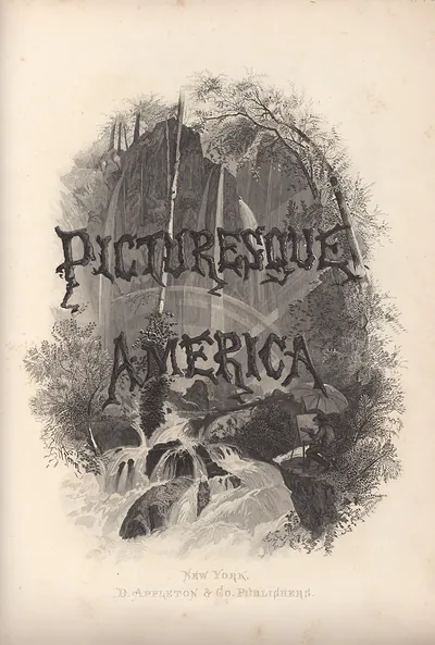 Picturesque America title page with waterfall engraving, New York, D. Appleton & Co. Publi
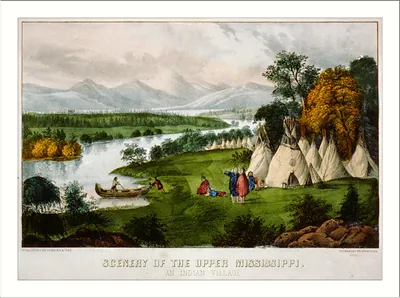 Scenery of the upper Mississippi: an Indian village (New York : Published)
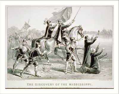 Discovery of the Mississippi: By Ferdinand De Soto, and his followers, May 1541 ([New York] : Currier)
Columbus
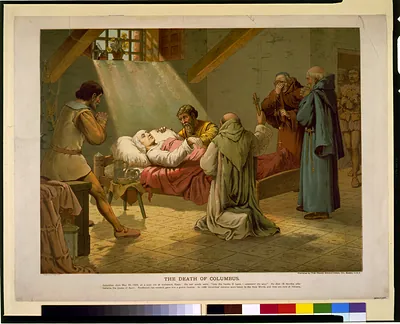 The Death of Columbus (Boston : Published b)
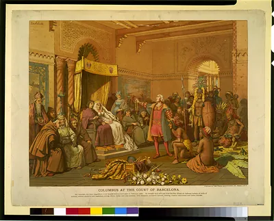 Columbus at the court of Barcelona (Boston : Published b)
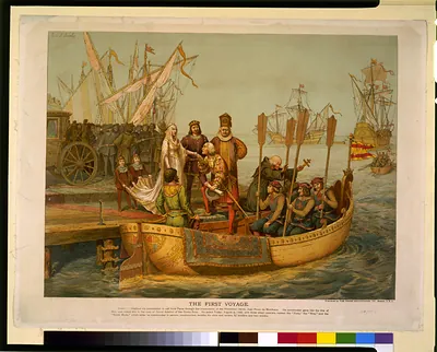 The First voyage (Boston : Published b)
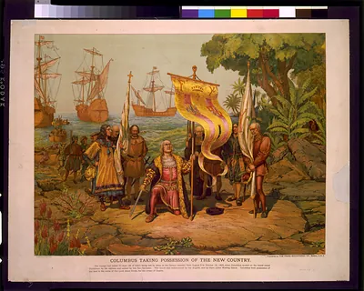 Columbus Taking Possession of the New Country
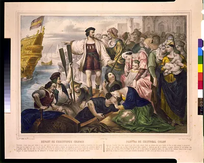 Depart de Christophe Colomb / lith. de Turgis ; Casse freres a St. Gaudens. (Paris : Vve. Turgis,)
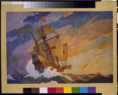 [Ships of Christopher Columbus at sea] / N.C. Wyeth, 1927. ([between 1900 and 19)
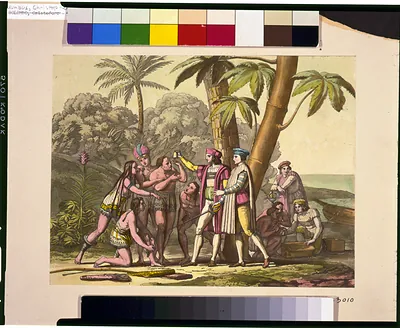 Landing of Columbus ([between 1860 and 18)
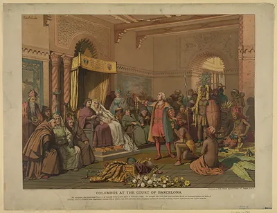 Columbus at the Court of Barcelona, chromolithograph print
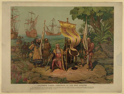 Columbus Taking Possession of the New Country
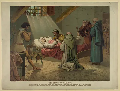 The Death of Columbus
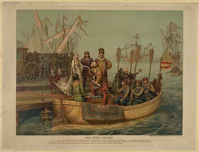 The First Voyage
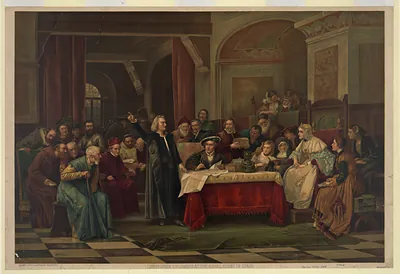 Christopher Columbus at the Royal Court of Spain