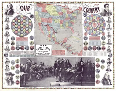
Our Country: Map of the United States, Canada, Mexico and Central America – Antique Map Print

(Each image is professionally and digitally cleaned of artifacts such as color bars and extra borders prior to printing.)
Description
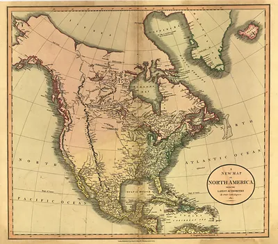
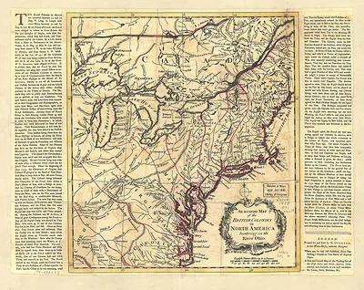
Few images capture their era like this antique map of Our Country: Map of the United States, Canada, Mexico and Central America. Drawn from the Snapshots of the Past archive, it is an authentic piece of documented history.
Order it framed and ready to hang, or unframed to match a frame you already love. A conversation-starting piece for home, office, or as a meaningful gift. Free shipping in the lower 48 states. Snapshots of the Past has been bringing history to the wall since 2001, for tens of thousands of customers worldwide.
Our Country: Map of the United States, Canada, Mexico and Central America
Order a print
Thank you. Your order went through, and a receipt is on its way by email.
Secure checkout · SSL encryptedPowered by Stripe and PayPal
Free shipping in the lower 48 states. The checkout page shows the picture, size and price before you pay.
A large, handsome map of North America stretches across this sheet, covering the United States, Canada, Mexico and Central America in one view. Maps of this kind were popular in the decades around the turn of the twentieth century, when school rooms, railroad offices and family parlors all looked for a clear picture of the continent and its growing network of cities and rail lines. Printed maps like this one show how the region was understood at the time, with political boundaries, place names and the spread of settlement presented as a single national story.
| Original scan | 10,190 × 7,958 px · prints to 34 × 27 in at 300 dpi |
|---|---|
| Reference | 1859 America-Original |
More from the Across America collection
Snapshots of the Past helps heritage brands, museums, historians and storytellers tell stories with history: historic prints, image licensing and historical storytelling drawn from more than 25 years of research and curation.