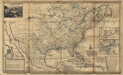
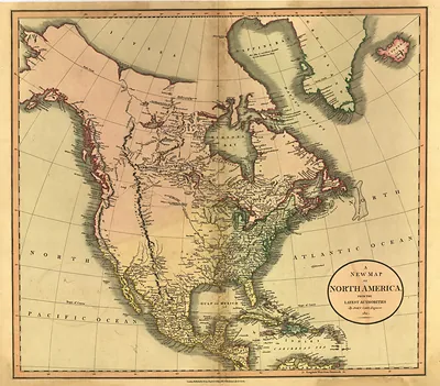
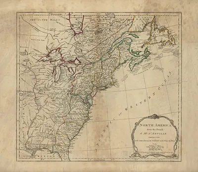
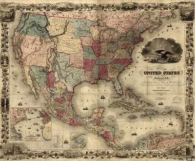
An Accurate Map of the British Colonies in North America – Antique Map Print

(Each image is professionally and digitally cleaned of artifacts such as color bars and extra borders prior to printing.)
Description
A window into the past: An Accurate Map of the British Colonies in North America, preserved in this antique map. It is part of the Snapshots of the Past archive, gathered over 25 years of research.
The framed print arrives ready to hang; the unframed option suits custom framing. Perfect for a home, office, library or classroom wall, and a gift with a story behind it. Free shipping in the lower 48 states. Snapshots of the Past has been bringing history to the wall since 2001, for tens of thousands of customers worldwide.
An Accurate Map of the British Colonies in North America
Order a print
Thank you. Your order went through, and a receipt is on its way by email.
Secure checkout · SSL encryptedPowered by Stripe and PayPal
Free shipping in the lower 48 states. The checkout page shows the picture, size and price before you pay.
Few maps carry as much diplomatic weight as this one. John Mitchell, a Virginia-born physician and naturalist working in London, published it in 1755 as the British empire was pressing its claims in North America just before the French and Indian War. Its detailed boundaries and its wide coverage of the interior made it the standard reference for decades. Negotiators used a copy of it at the Treaty of Paris in 1783 to draw the borders of the new United States, so its outlines shaped the country's early territory.
| Original scan | 4,843 × 3,848 px · prints to 16 × 13 in at 300 dpi |
|---|---|
| Reference | 1755a British |
More from the Across America collection
Snapshots of the Past helps heritage brands, museums, historians and storytellers tell stories with history: historic prints, image licensing and historical storytelling drawn from more than 25 years of research and curation.