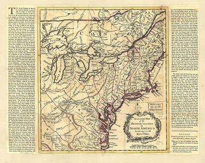
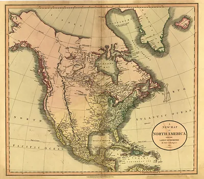
Nova Totius Americae Descriptio: 1660 map of the Americas – Antique Map Print

(Each image is professionally and digitally cleaned of artifacts such as color bars and extra borders prior to printing.)
Description
Nova Totius Americae Descriptio: 1660 map of the Americas comes to life in this antique map, reproduced from the original with every detail intact. It is part of the Snapshots of the Past archive, gathered over 25 years of research.
Framed, it is ready for the wall; unframed, it is ready for the frame you choose. It brings character to any room and makes a memorable gift. Free shipping in the lower 48 states. Snapshots of the Past, founded in 2001, has served tens of thousands of customers worldwide.
Nova Totius Americae Descriptio: 1660 map of the Americas
Order a print
Thank you. Your order went through, and a receipt is on its way by email.
Secure checkout · SSL encryptedPowered by Stripe and PayPal
Free shipping in the lower 48 states. The checkout page shows the picture, size and price before you pay.
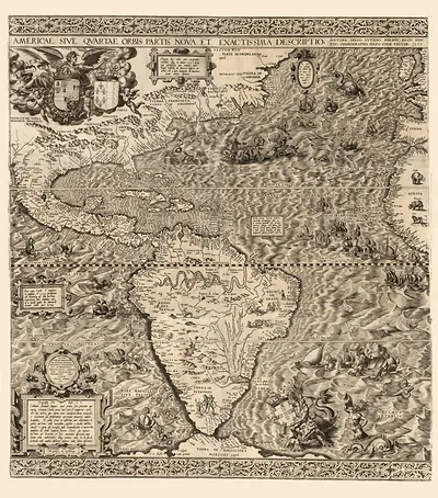
Rather than a single city, this 1660 map takes in the whole of the Americas, with its Latin title, *Nova Totius Americae Descriptio*, announcing a broad survey of the hemisphere. It belongs to the Dutch tradition of map publishing, which dominated European cartography in the mid-1600s and sold richly engraved maps to merchants, scholars and collectors. Like many maps of its era, it mixes careful coastal outlines with large areas of guesswork, especially in the interior of North America. Those blank or speculative regions show how much of the continent Europeans still had not explored at the time.
| Original scan | 6,720 × 5,320 px · prints to 22 × 18 in at 300 dpi |
|---|---|
| Reference | 1660 Spanish |
More from the Across America collection
Snapshots of the Past helps heritage brands, museums, historians and storytellers tell stories with history: historic prints, image licensing and historical storytelling drawn from more than 25 years of research and curation.