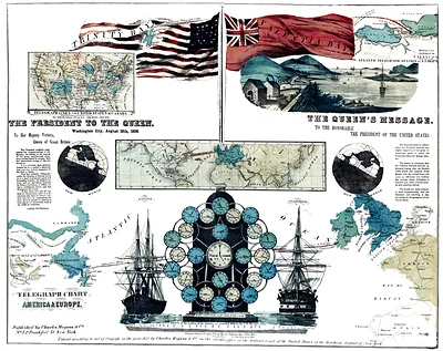
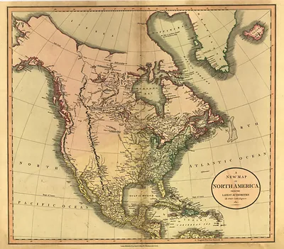
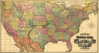
Telegraph Chart of America & Europe – Vintage Wall Art

(Each image is professionally and digitally cleaned of artifacts such as color bars and extra borders prior to printing.)
Description
Telegraph Chart of America & Europe comes to life in this historic image, reproduced from the original with every detail intact. It is part of the Snapshots of the Past archive, gathered over 25 years of research.
Order it framed and ready to hang, or unframed to match a frame you already love. It brings character to any room and makes a memorable gift. Free shipping in the lower 48 states. Snapshots of the Past, founded in 2001, has served tens of thousands of customers worldwide.
Telegraph Chart of America & Europe
Order a print
Thank you. Your order went through, and a receipt is on its way by email.
Secure checkout · SSL encryptedPowered by Stripe and PayPal
Free shipping in the lower 48 states. The checkout page shows the picture, size and price before you pay.
Telegraph charts like this one map the wires that tied American cities together and, across the Atlantic, linked the continent to Europe. The first transatlantic cable was laid in 1858 and worked only briefly, but a durable cable in 1866 cut the time for news to cross the ocean from about ten days by steamship to a matter of minutes. Maps of this kind were used to explain and promote these networks, and they show how the telegraph, not just the railroad, became the fastest way to send word across the country. Look at which cities sit at the hubs and which lie at the edges.
| Original scan | 7,119 × 5,646 px · prints to 24 × 19 in at 300 dpi |
|---|---|
| Reference | 1858 First Atlantic Telegraph |
More from the Across America collection
Snapshots of the Past helps heritage brands, museums, historians and storytellers tell stories with history: historic prints, image licensing and historical storytelling drawn from more than 25 years of research and curation.