Acadia National Park
22 historic pictures in the Acadia National Park collection, part of Landmarks. Each one can be ordered as a print or licensed, and the collection is a starting point for telling stories about the past.
Open the interactive boardAcadia is the first national park east of the Mississippi and the only one of the early parks that the federal government did not carve out of land it already owned. Every acre was given.
Mount Desert Island had been a summer destination since the 1850s, when painters of the Hudson River School worked there and their canvases sent people looking for the place. By the 1880s Bar Harbor was one of the wealthiest summer colonies in the country, with enormous shingled houses that their owners insisted on calling cottages.
That prosperity created the threat. Portable sawmills arrived on the island around 1900 and the land that had drawn everyone there was suddenly worth more cut than standing. Charles Eliot, the president of Harvard, and George Dorr, who had the time and the money and eventually spent nearly all of both on it, organized the Hancock County Trustees of Public Reservations in 1901 to hold land in trust. Dorr spent years acquiring parcels, sometimes buying them himself, and in 1916 the holdings went to the federal government as a national monument. It became Lafayette National Park in 1919 and was renamed Acadia in 1929.
John D. Rockefeller Jr. built the roads, and he built them against the automobile. He disliked cars on the island and wanted a way to move through the interior by horse and carriage, so between 1913 and 1940 he paid for and personally supervised about forty-five miles of broken-stone carriage road, with seventeen stone bridges, every one different, and cut-granite copings along the edges that the crews called coping stones and everyone else calls Rockefeller’s teeth. No motor vehicle has ever been allowed on them.
The photographs from the cottage era are of a world that ended in a specific week. In October 1947, after a very dry summer, a fire that started near Bar Harbor burned for ten days across more than seventeen thousand acres of the island and destroyed sixty-seven of the great summer houses along Millionaires’ Row, along with hundreds of year-round homes. It was fought by locals, the Navy, the Coast Guard and the Army, and at one point the town was evacuated by boat from the pier because the roads were cut.
So the earlier photographs are the only record of most of those houses. That is worth saying plainly when the images are used: a Bar Harbor cottage picture from 1900 is very likely a picture of a building that no longer exists.
The forest came back different. The fire cleared old spruce and fir and let birch, aspen and maple in, which is why Acadia has fall color that the pre-fire photographs do not show.
Getting there is part of the record too. Before the bridge and the highways, visitors came by steamer from Boston and Portland and Rockland, and the wharves at Bar Harbor and Southwest Harbor appear constantly in the photographs, stacked with trunks. Cadillac Mountain had a cog railway running to a summit hotel in the 1880s. Both are long gone, and the only trace of them is photographic.
One naming note for captions. The park was Lafayette National Park for its first ten years, honoring the French connection to the island, and a great many prints and postcards carry that name. They are not mislabeled. They are simply older than 1929.
The First Park Protected for What People Built
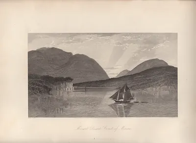 Mount Desert Coast of Maine
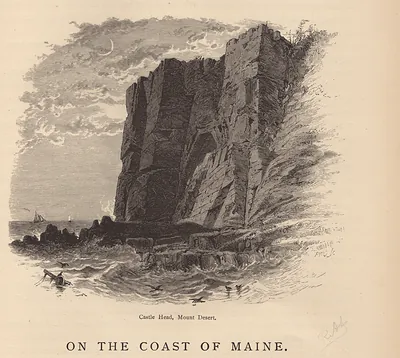 ME Mt. Desert Castle Head
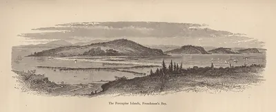 The Porcupine Islands, Frenchman's Bay
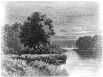 Scene on the Penobscott river (c1885 Dec. 26.)
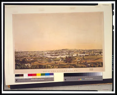 Saco, and Biddeford, Me. / sketched from nature by J.B. Bachelder ; J.H. Bufford lith., Bo ([between 1850 and 18)
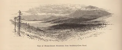 ME Mt Desert Mts from Saulsbury Cove Road
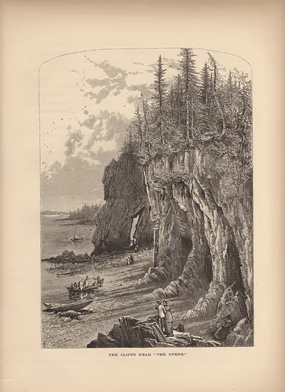 The Cliffs Near The Ovens
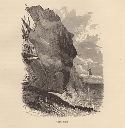 Great Head cliff with a sailing ship
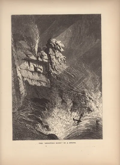 ME The Spouting Horn In A Storm
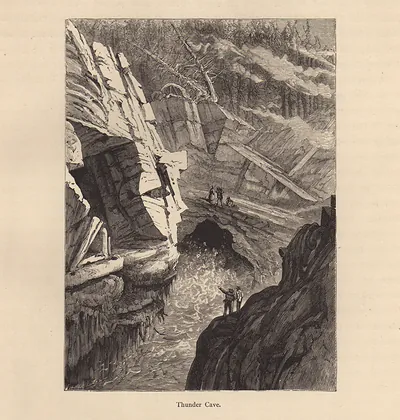 Thunder Cave
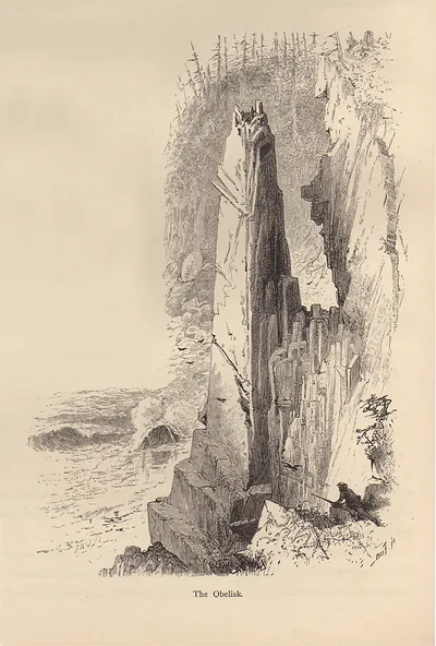 The Obelisk
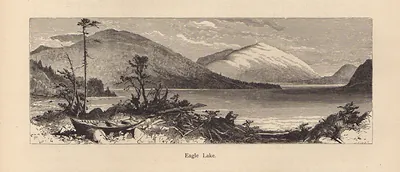 Eagle Lake
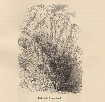 Eagle Cliff, Somes's Sound
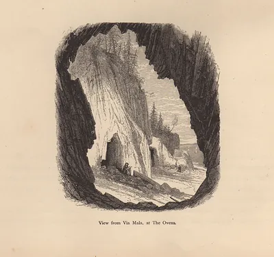 View from Via Mala, at The Ovens
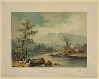 Spring on the Androscogan
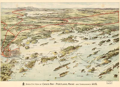 Birds eye view of Casco Bay, Portland, Maine, and surroundings
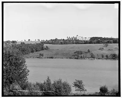 Poland Spring House from across the lake, Poland Spring, Me.
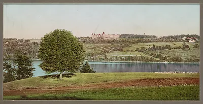 Poland Spring House 2
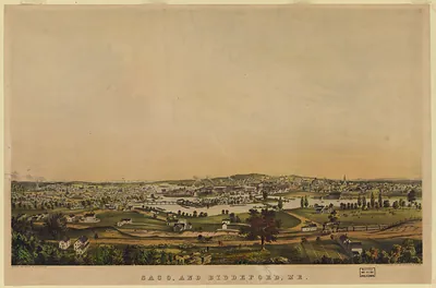 Saco, and Biddeford, Me
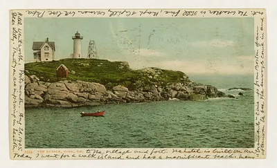 The Nubble, York, Me. (c1904.)
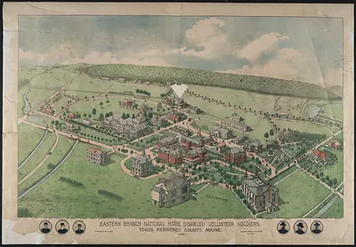 Eastern Branch National Home Disabled Volunteer Soldiers, Togus, Maine
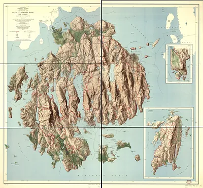 Topographic Map of Acadia National Park and Vicinity, Hancock County, Maine