Maine
21 historic pictures in the Maine collection, part of Cities. Each one can be ordered as a print or licensed, and the collection is a starting point for telling stories about the past.
Open the interactive boardMaine was part of Massachusetts until 1820. It became a separate state as part of the Missouri Compromise, which admitted Maine as a free state and Missouri as a slave state to keep the balance in the Senate. For its first 200 years under English and then American rule, Maine was the far northern edge of New England.
It made its living from the woods and the water. Lumber was the great industry of the 1800s, and logs were floated down the Penobscot, Kennebec and other rivers in spring drives to sawmills at Bangor and elsewhere. Bangor was for a time one of the busiest lumber ports in the world. Shipyards along the coast built wooden sailing ships by the hundreds, and Bath has been building ships since colonial days. Fishing, lobstering and sardine canning supported the coastal towns, and granite and ice were cut and shipped south.
Portland was the main city and port. Portland Head Light, first lit in 1791, is one of the oldest lighthouses in the country and among the most photographed. On July 4, 1866, a fire started near the waterfront and burned through much of the city. Photographs taken afterward show long rows of chimneys standing alone.
In the late 1800s, wealthy families from Boston, New York and Philadelphia discovered the coast. Bar Harbor on Mount Desert Island filled with grand summer cottages, and steamboats and trains brought the visitors north. Some of those summer residents worked to protect the island's mountains and shore, and their efforts led to the national park now called Acadia, the first national park east of the Mississippi. The rest of the coast had its own summer colonies, inns and painters.
In the coastal pictures, look at the boats. Before engines became common in the early 1900s, nearly every working boat in a Maine harbor carried a sail, and the change to motor launches can be followed from picture to picture.
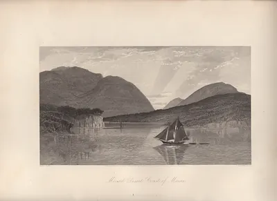 Mount Desert Coast of Maine
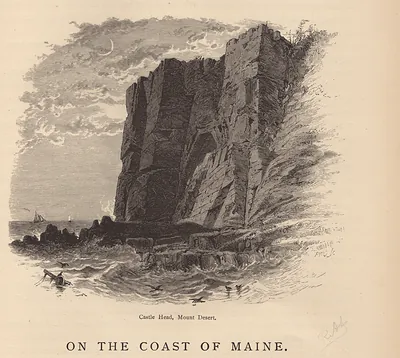 ME Mt. Desert Castle Head
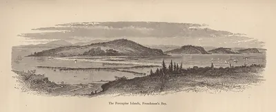 The Porcupine Islands, Frenchman's Bay
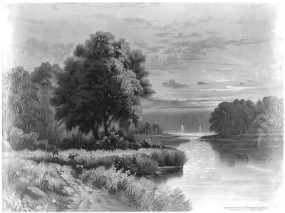 Scene on the Penobscott river (c1885 Dec. 26.)
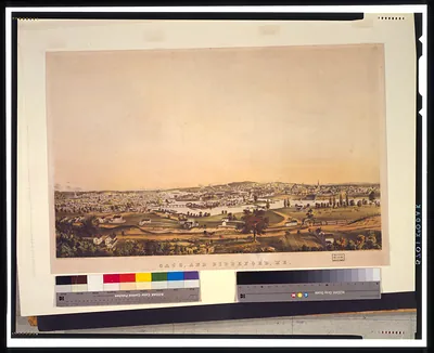 Saco, and Biddeford, Me. / sketched from nature by J.B. Bachelder ; J.H. Bufford lith., Bo ([between 1850 and 18)
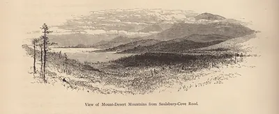 ME Mt Desert Mts from Saulsbury Cove Road
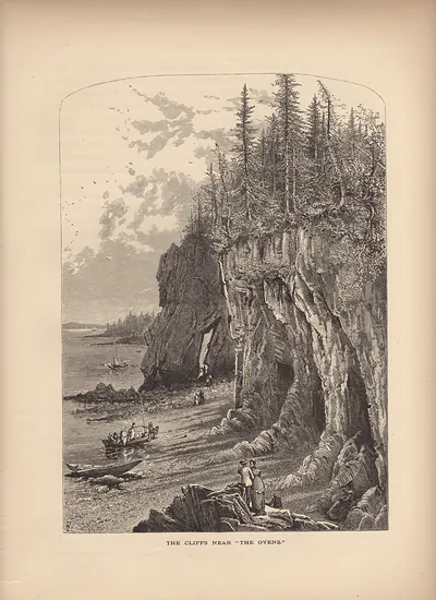 The Cliffs Near The Ovens
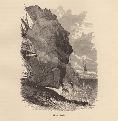 Great Head cliff with a sailing ship
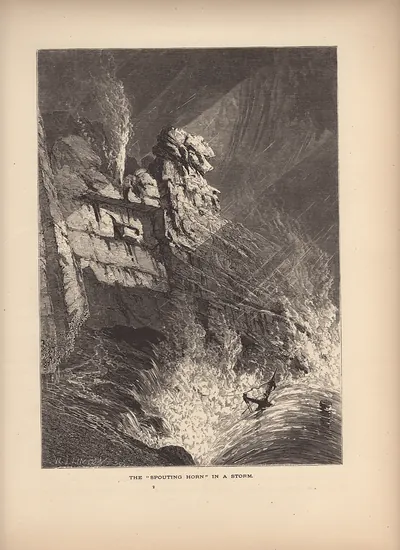 ME The Spouting Horn In A Storm
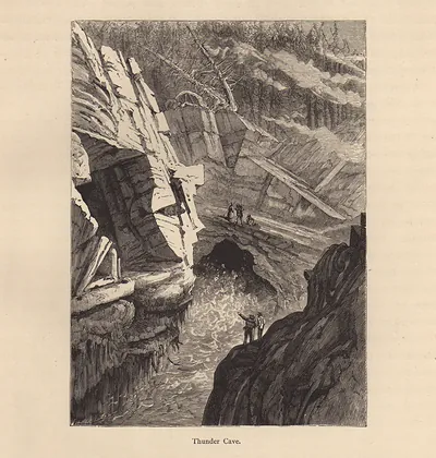 Thunder Cave
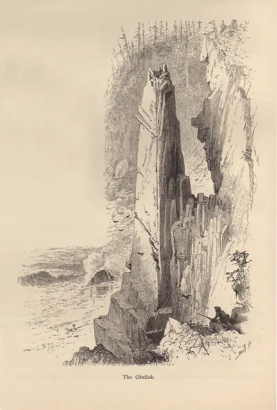 The Obelisk
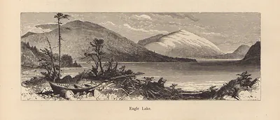 Eagle Lake
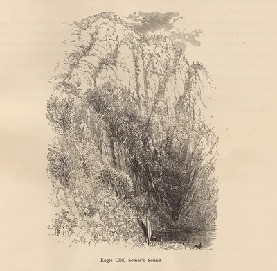 Eagle Cliff, Somes's Sound
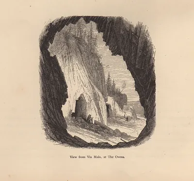 View from Via Mala, at The Ovens
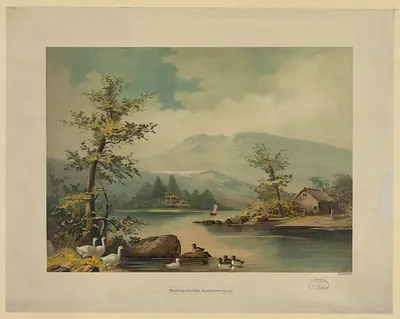 Spring on the Androscogan
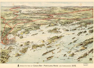 Birds eye view of Casco Bay, Portland, Maine, and surroundings
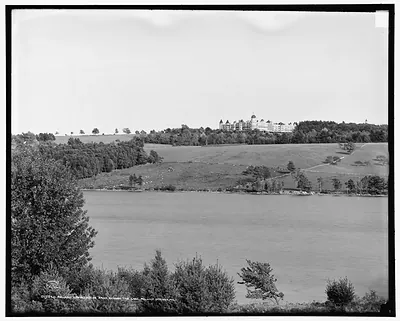 Poland Spring House from across the lake, Poland Spring, Me.
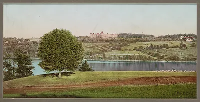 Poland Spring House 2
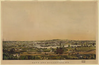 Saco, and Biddeford, Me
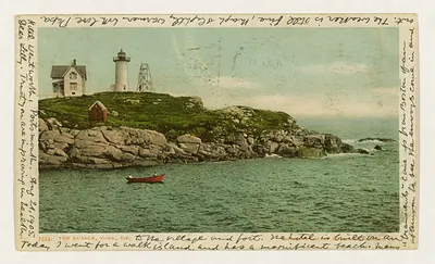 The Nubble, York, Me. (c1904.)
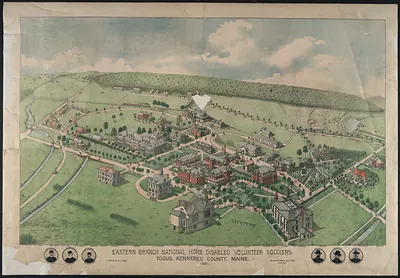 Eastern Branch National Home Disabled Volunteer Soldiers, Togus, Maine